Winter Kicks Back Into Gear; Potential For Snow This Week
PHILADELPHIA (CBS) -- It was nice while it lasted but colder temperatures have now filtered back into the region and we could be watching a new system get ready to slide into the region early this week that could drop some snow over the region.
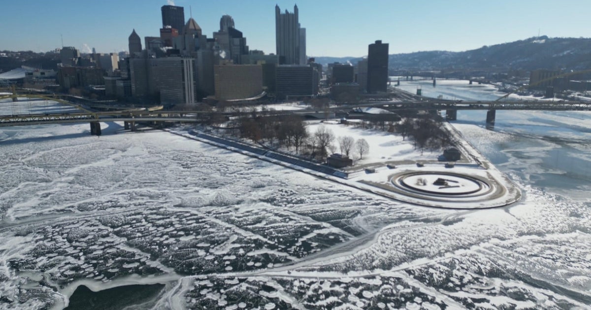
The weather at the end of last week was a welcomed sight and it allowed us to recover at least slightly form the extreme cold we had been witnessing in Philly to start the new year. However, that nice mild air was pushed out by a strong cold front on Saturday morning and temperatures have been hovering below freezing since Saturday afternoon. There is no relief in the forecast for Sunday either as we remain in the 20s across most of the area, with temperatures possibly staying in the teens up toward the Poconos. When you add in the winds, wind chill values will feel like the single digits above and below zero most of the afternoon. Our next system is a weak clipper, then develops and begins to slide in as we start the new work week.
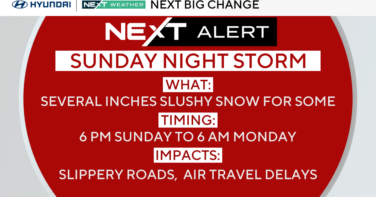
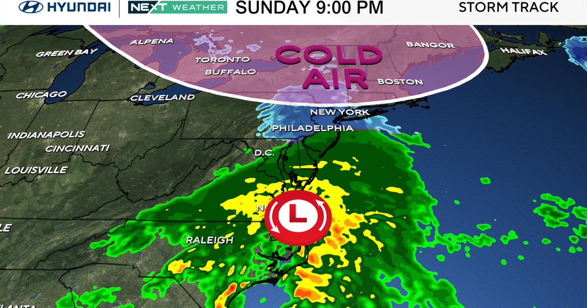
As mentioned, the system we experience in the Tuesday through Wednesday time frame is a weak, fast-moving clipper system. These are usually moisture starved and while they can reinforce cold air, usually do not leave us with much snow. That is how this system is stacking up as well. We could start to see flurries as early as late on Monday in areas in the Poconos, but we shouldn't see any precipitation in the Philly area until Tuesday morning. The timing of the cold front and the timing of the precipitation are still a bit in flux. Right now it looks as though we should see snow shower activity on Monday night and early Tuesday as temperatures hover near the freezing mark, especially in the morning. The snow showers then could linger into Wednesday depending on what model you look at. For right now though it looks as though most of the snow activity will finish up in Philly early on Wednesday. This clipper, since it will be fast and not have much moisture with it, should only drop maybe an inch or 2 of snow at most in areas, with a few very localized spots in the Poconos getting up to 3." For the Philadelphia area at this point it looks like we could see anywhere from about a coating to possible 2" of snow, with the majority of the region favoring the coating side of the forecast.
Temperatures then remain chilly for the start of the second half of the week on Thursday, but a warming trend takes over heading into Friday and the weekend and we could see highs back into the seasonable range of the 40s or even higher before the weekend is all said and done.
Have a great Sunday and try to stay warm.
PS. E-A-G-L-E-S EAGLES!!
Matt Peterson
- TODAY -- Sunny and Cold. High 26
- TONIGHT -- Increasing Clouds, Staying Cold and Below Average. Low 17
- TOMORROW -- Mostly Cloudy, Cold, Spotty Flurries Late North. High 31
- TUESDAY -- Mostly Cloudy, Chance For Snow Showers. High 36
- WEDNESDAY -- Chances For Flurries Or Snow Showers. High 29
- THURSDAY -- Mostly Sunny. High 32
