When will it snow in Philadelphia? Breaking down a typical winter
The first snow in Philadelphia might be closer than you think.
It's hard to believe it's that time of year already — when we've passed the frost advisories and freeze warnings and look ahead to when the first flakes will fly across the Philadelphia area.
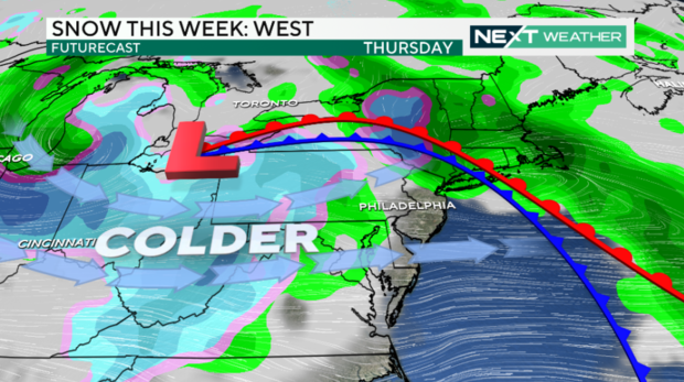
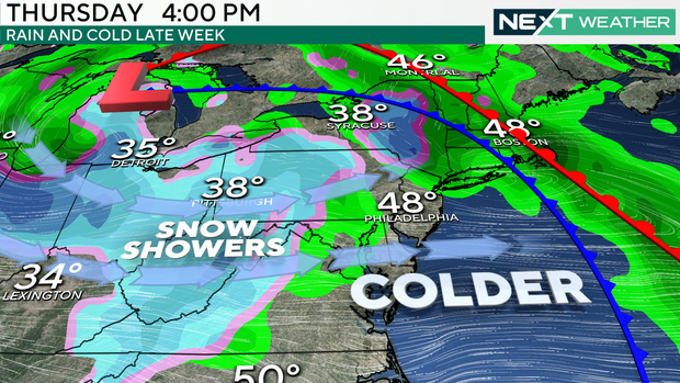
With several systems moving through, bringing colder air, it's truly only a matter of time before we see some snow in Philly.
While we don't have anything solid in the forecast, as of late November, meteorologists can look at trends and historical dates.
When is the earliest the Philadelphia region got snow?
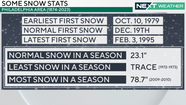
Let's start with the earliest snow on record for the city: Oct. 10, 1979. That was an interesting day, with highs in the low 40s and 2.1 inches of snow. With temperatures that "warm," it was a heavy, wet event that didn't last very long.
While that date this year has long passed, it's just an example of how early this area can receive snow when just enough cold air filters in along a powerful fall cold front.
When is the latest first snow the Philadelphia region has gotten?
On the flip side, the latest first snow we've ever seen snow was Feb. 3, 1995. The high that day only hit the freezing mark, and the 1.2 inches of snow officially recorded was not much more than a light dusting. The very next day, the Philly area received over 7 inches of snow, kicking the season into high gear — on the very late side.
Here are a few quick facts to note once the flakes fly.
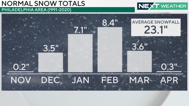
- Average amount of snow in a single season: 23.1 inches
- The least snow we've ever seen in a season: A trace (1972-1972)
- The most snow we've ever seen in a season: 78.7 inches (2009-2010)
While the 2024-2025 winter season hasn't officially begun yet, we still have time to receive snow and stay within "normal" parameters. The average first date of snow in the city is Dec. 19.
So, looking ahead in the short term, how do we look this year?
Considering how dry it's been, it's been tough trying to get a few drops of rain around here, let alone snow. That said, the long-term models that take us through Thanksgiving and into early December hint at a much better chance of finally alleviating some of the drought, with several storm systems swinging through.
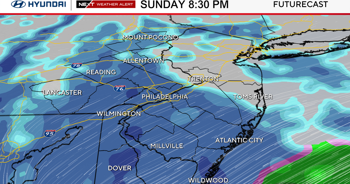
While we don't like to post forecasts for weeks out, there is a good chance that parts of the area — likely the Poconos and even the Lehigh Valley — will get some snow within the next week. While it won't be much, a few flurries cannot be ruled out, with a few systems moving through before Thanksgiving.
Beyond that, it does get a little dicey, but at least a few of our weather models indicate a chance that even Philadelphia will get a few snowflakes around or slightly before the beginning of December.
However, note that the trend seems to be warmer overall. While we can't rule out a slushy mix, the definitive answer is that it will likely be very tough, given the dynamics as of late, to receive measurable, accumulating snow in Philadelphia before the middle of December.
As we say in TV, stay tuned.
