Weather: Snow For Some Areas Overnight & Monday Morning
By Justin Drabick
PHILADELPHIA (CBS) -- A more typical mid winter weather pattern has returned and will stick around into the start of February. A jet stream trough has returned over the Northeast, allowing for more seasonable temperatures to return. Over the next few days, weak disturbances will move through the jet steam bringing clouds and the chance for a little snow to the region.
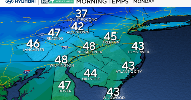
A jet stream disturbance located to our southwest will intensify a bit while moving through the mid-Atlantic region later tonight, bringing a round a snow to the southern half of our region. The best chance for accumulations will be across Delaware, Southern NJ and the MD Eastern Shore. Expect snow to be falling in these areas early Monday morning causing a slippery morning commute with temperatures at or below freezing. Some snow is possible around Philly with little if any accumulation expected at this time.
TIMING: Expect snow to develop SW to NE from Midnight - 2AM Monday. The steadiest snow will fall from 2AM-7AM, then taper off to flurries after 7AM.
AMOUNTS: 1-3" of snow is expected across the advisory area.
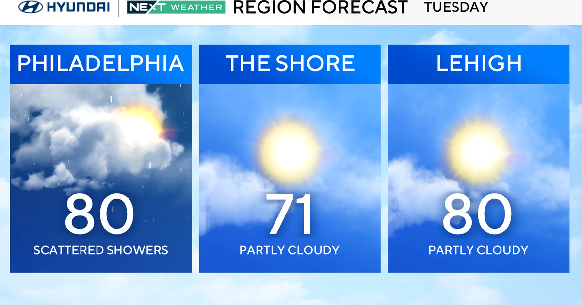
Sunshine will then return during the morning into the afternoon. Another weak disturbance will bring a chance at some snow & rain showers on Tuesday. High temperatures will remain in the 30s and 40s through the rest of the week.
- TONIGHT - Mostly Cloudy with some snow developing after midnight, especially south and east. Low 30.
- MONDAY - Early morning snow, then partly sunny and cold. 1-3" of snow, mainly south & east. High 38.
- TUESDAY - Mostly cloudy with a rain or snow shower possible. High 40.
- WEDNESDAY - Partly sunny. High 44.
- THURSDAY - Mostly sunny and colder. High 38.
