Rain will create messy Monday morning commute in Philadelphia region. Here's the weather forecast.

Rain moved in overnight and will persist through Monday morning in the Philadelphia region. Plan on a wet morning commute and make sure to put the rain gear on the kids as they head off to school.
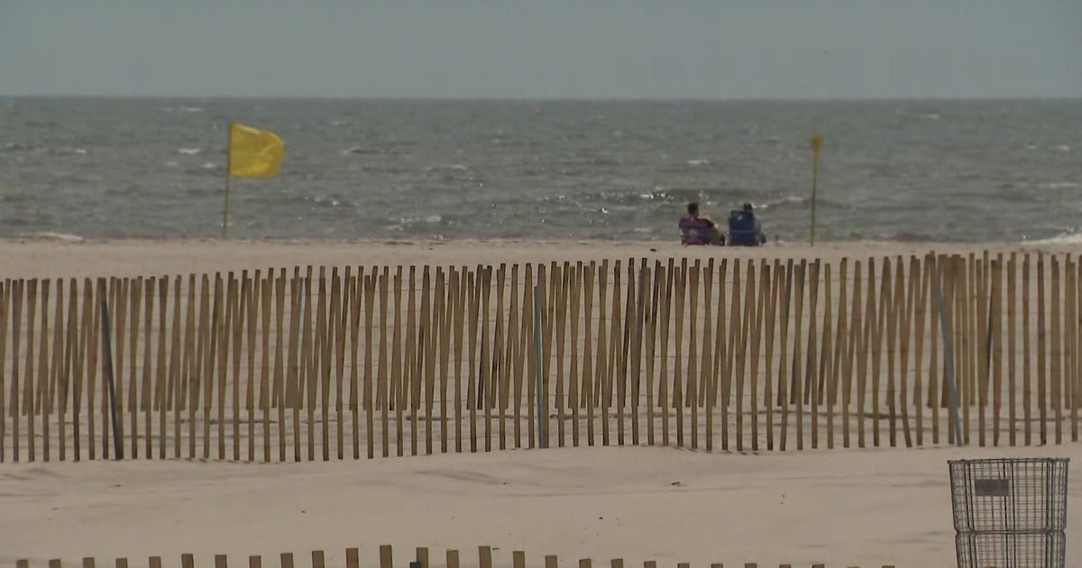
The rain ends across the area by early afternoon except on the Shore and inland South Jersey, where rain showers may persist into the late afternoon.
The heaviest rain will fall over South Jersey and the Shore.

While this will mainly be a rain event, there could be a few snowflakes mixing in well north and west of the city. But the weather won't be enough to trigger a NEXT Weather Alert for Monday. That said, watch for some ponding on the roadways.
Any rain will be beneficial to slow the drought across the entire region. Parts of inland South Jersey are in an extreme drought and a weekend wildfire has burned nearly 2,000 acres near Shamong and Hammonton. Unfortunately, the rain won't be enough to end the drought.
Tuesday is a mostly sunny to partly cloudy day, with a few showers returning Wednesday, although amounts will be light.
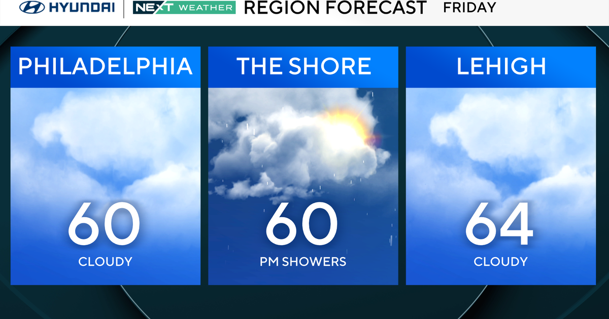
Temperatures will bounce from the 50s to the 60s all week. We are now in a more typical spring-like pattern.
7-day forecast
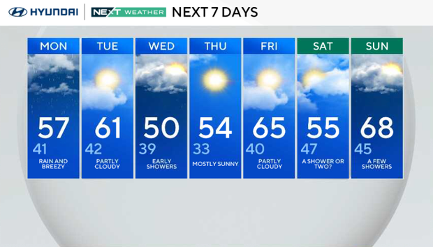
Monday: Rain and breezy. High of 57, low of 41.
Tuesday: Partly cloudy. High of 61, low of 42.
Wednesday: Early a.m. shower, then sun. High of 54, low of 39.
Thursday: Mostly sunny. High of 54, low of 33.
Friday: Partly cloudy. High of 65, low of 40.
Saturday: A shower or two. High of 55, low of 47.
Sunday: A few showers. High of 68, low of 45.
Get the latest weather info on the CBS News Philadelphia app.