WEATHER BLOG: Winter Storm Approaching
By Justin Drabick
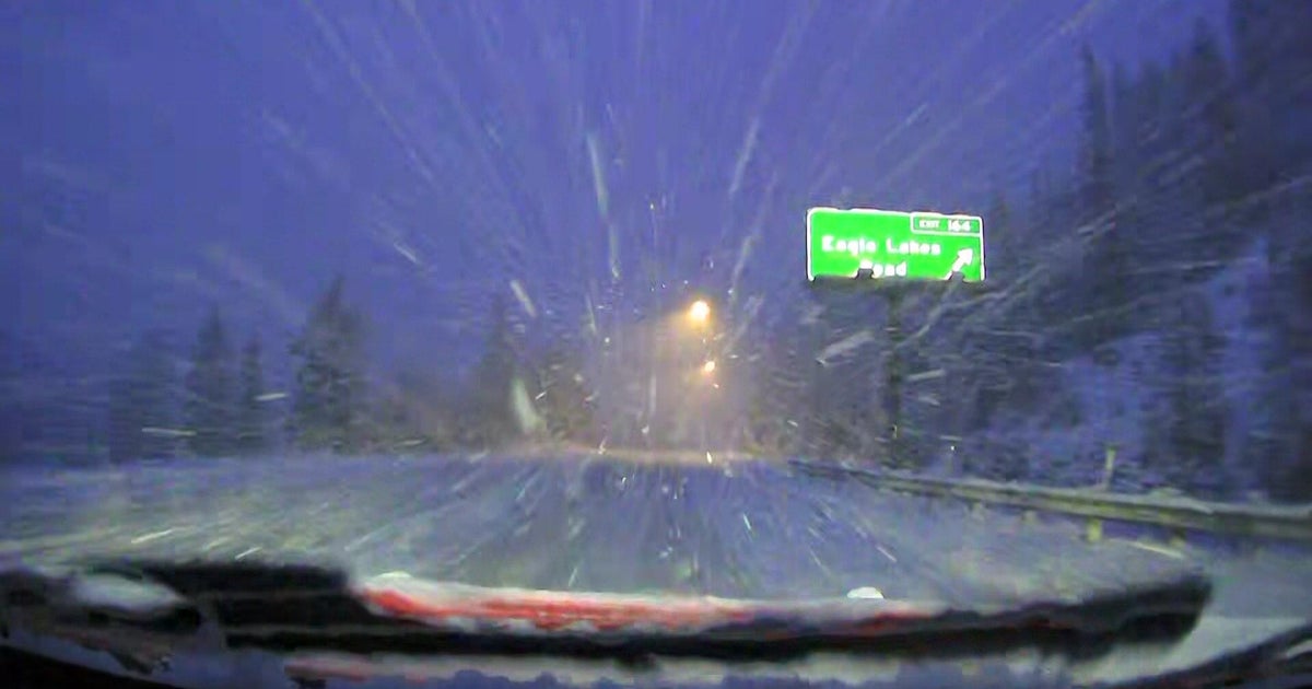
PHILADELPHIA (CBS) - A classic late season winter storm is set to impact the Delaware Valley Sunday Night and Monday.
A mix of rain and snow will arrive by Sunday evening and changeover to all snow later Sunday night as a cold front moves through. This front ushers in a fresh supply of arctic air into the region allowing for all locations to changeover to snow, even along the coast.
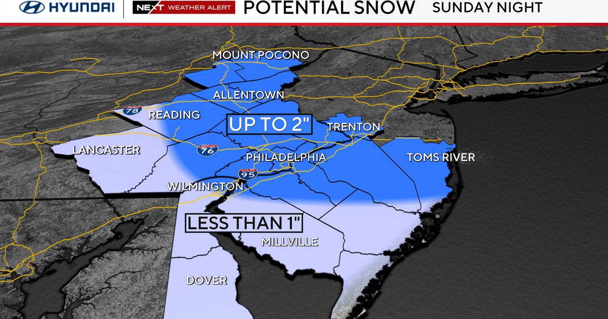
Winter storm watches are in effect from Sunday Evening through Monday Afternoon for the entire area except the Poconos. The snow will be heaviest early Monday morning and begin to taper off later during the afternoon. A period of sleet and freezing rain is also possible as the cold air begins to filter in Sunday night. A light ice accumulation is still possible where this occurs. If the cold air moves in fast enough, ice amounts will be lower. The latest forecast guidance trend this evening shifts the heaviest moisture farther south into southern NJ and Delaware.
Timing:
Rain and snow will arrive between 4 p.m.-7 p.m. Sunday and change over to all snow Sunday night. Expect snow, heavy at times overnight Sunday through Monday morning. The snow will begin to taper off and end during the afternoon on Monday.
Amounts:
6-10" of snow is possible from the Lehigh Valley down to the Shore and central Delaware. Less amounts of 3-6" expect in the Poconos. A light ice accumulation is possible in any areas that see a brief period of freezing rain. The latest trend has been for higher precipitation amounts shifting southward. A continued southward trend would mean less snow to the north and more to the south.
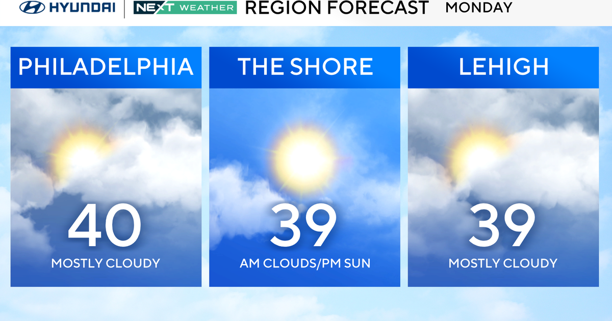
Six more inches of snow in Philadelphia will tie this season for the 2nd snowiest season on record. Behind the storm, cold arctic air settles in through the middle of the week with temperatures well below average. Highs will be in the 20s and 30s with lows in the single digits and teens.
Justin
