WEATHER BLOG: Tracking A Third Nor'easter
PHILADELPHIA (CBS) -- We are continuing to keep a close eye on what will become our third nor'easter since the beginning of March. Talk about March coming in like a lion!
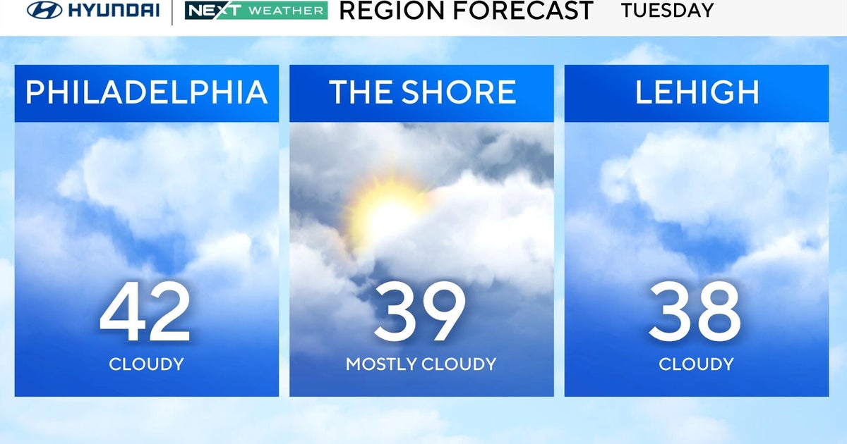
There are still some inconsistencies with computer models, but several things are starting to come a bit more into focus this morning. One of those things is the timing of when we will see impacts from this system. It looks like we will see impacts from this next system starting during the Monday afternoon/evening time frame through Tuesday.
Monday will start out as a dry day as clouds thicken-up fairly quickly. The Monday morning commute looks the be just fine. By Monday afternoon/evening a rain/snow mix should begin to break out. As colder air filters in, a changeover to all snow can be expected overnight Monday into Tuesday morning. Right now our thinking is that accumulations should be generally light and on the order of a coating to 2" with some locally higher amounts possible.
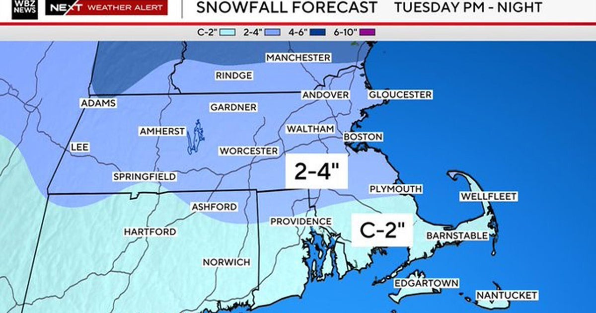
The worst impacts with this nor'easter will occur up into New England where double-digit snowfall is expected.
- THIS AFTERNOON -- Mostly Sunny and Quiet. High 47.
- TONIGHT -- Partly Cloudy. Low 30.
- TOMORROW -- Mainly Cloudy with Late Day Rain and Snow, Especially South & East. High 43.
- TUESDAY -- Mostly Cloudy and Breezy with Rain and Snow Showers. High 44.
- WEDNESDAY -- A Mix of Sun and Clouds. Breezy with a Snow Shower Possible. High 40.
- THURSDAY -- Mostly Sunny and Chilly. High 46.
