Weather Blog: Severe Storms - Round Two
By Justin Drabick
PHILADELPHIA (CBS) - After catching a break from this morning's intense line of severe storms, the second round of severe weather will continue to move through parts of the region this evening.
SEE ALSO:
Travel Guide
Traffic
Latest Forecast
Live Radar
Share Your Photos
The main severe storm threat has shifted to the south and includes Delaware and Southern New Jersey.
A severe thunderstorm watch has been issued for Kent and Sussex county Delaware until 7 p.m. However, some fast moving severe storms are still possible in New Jersey, especially near the shore points.
Any storms could contain strong damaging winds and hail. From Philadelphia on northward, the chance for a few showers continues with a possible thunderstorm this evening.
PHOTOS: Severe Weather
The flood watch has been cancelled for the entire region but flood advisories have been issued in the areas that have seen storms this evening.
Conditions will continue to improve later tonight as the strong low pressure system moves offshore.
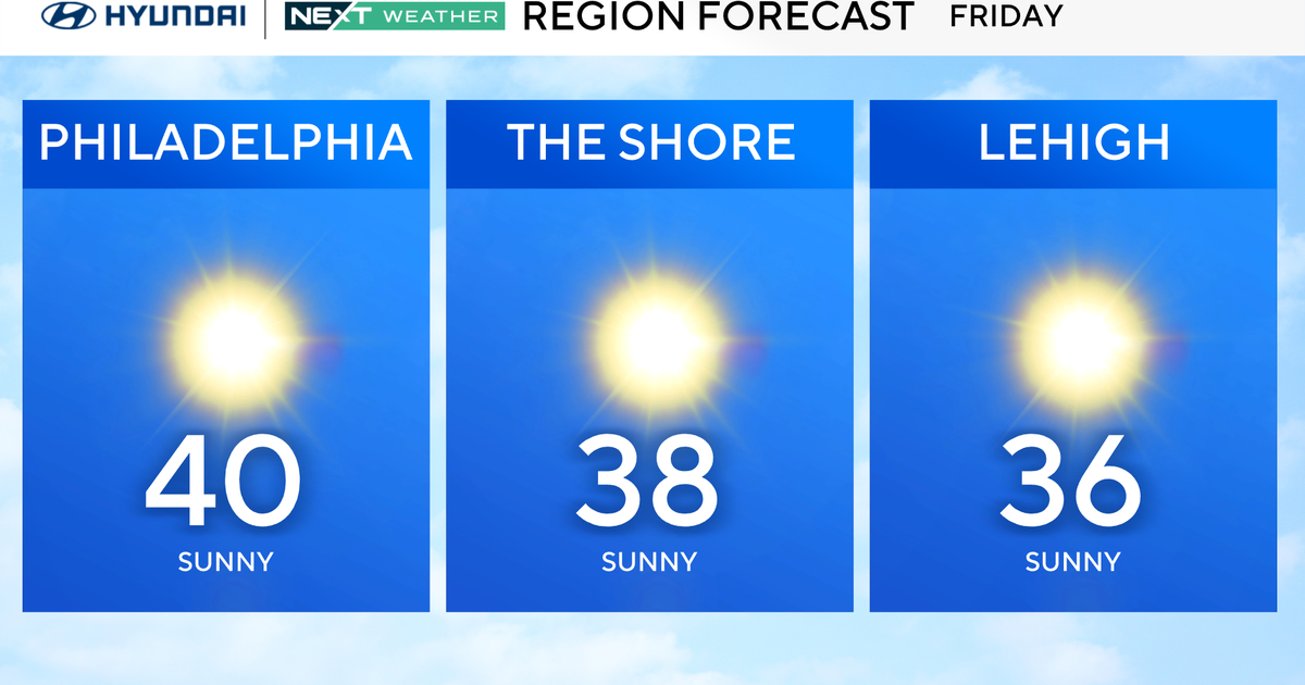
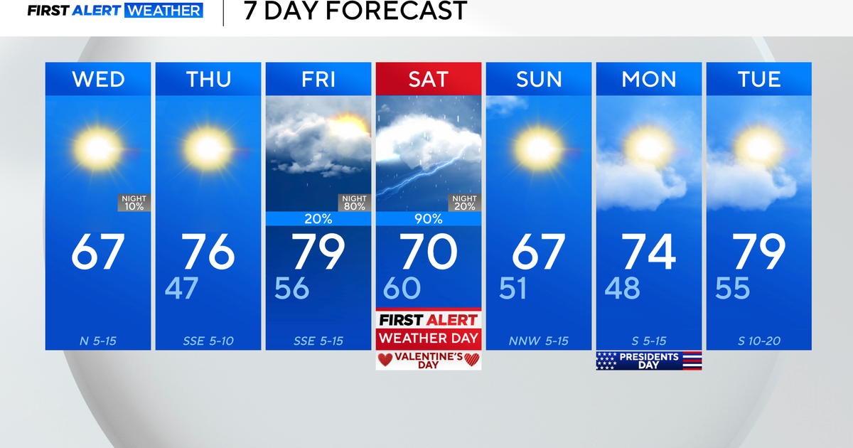
Behind the storm cooler and less humid conditions return on Friday with highs only in the 70s. The chance for a spotty shower is possible during the day Friday as the upper-level portion of the storm moves through.
A high pressure system will then move into the Delaware Valley on Saturday providing mostly sunny skies.

