Weather Blog: Rainy Stretch
By: Kate Bilo
A tricky forecast this week as a broad upper-level low sits across the Eastern half of the country, delivering days upon days of unsettled weather. Sunday night's thunderstorms got a bit nasty across the region, causing some wind damage across portions of the Poconos and Bucks County, as well as some large hail. And we're not out of the woods yet!
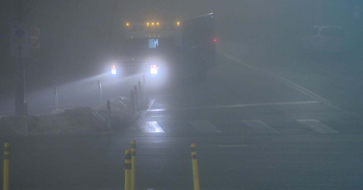
Clouds and fog characterized our Monday morning - visibilities dropped to near 0 for a time near Dover and in the Poconos. As of the time I write this, the clouds are beginning to break a bit from South to North, and I think especially Southern areas will see some sunshine today. With temperatures possibly reaching the mid-70's (and even upper 70's across the Delmarva with enough sunshine), any convection that pops off this afternoon could be marginally severe, with some locally strong wind gusts and bursts of heavy rain. Temperatures have been slow to rise due to the fog and cloud deck, but if any sunshine breaks through, with a moist southeasterly flow we should warm up quickly.
Tomorrow and Wednesday will pose a larger problem as far as rainfall is concerned. A secondary low will ride from the Carolinas toward the Ohio Valley, pulling in a moist easterly flow as it does so. Heavy rain will occur in bursts through the day, with embedded thunder possible as dew points will still be quite high. A combination of the cloud cover, the rain-cooled air and the easterly flow may inhibit temperatures tomorrow to the upper 60's. Bands of heavy rain will continue to move through the area Wednesday, and Wednesday may be the wettest day of the week. A lot of the rain will be convective (i.e. thunderstorm generated) so it's tough to predict where the heaviest will fall, but I do think we could get into some stratiform (i.e. more uniform, larger coverage) precipitation, especially in upslope areas just west of the city (when the moist air gets lifted over the higher terrain, it will intensify).
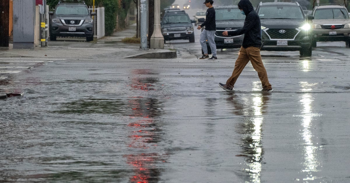
Most of the computer models suggest a band of heavy rain off to our north into Wednesday, but especially through Wednesday morning we could see a few bulls-eyes of heavy rain set up right over the Delaware Valley. The rain tomorrow and Wednesday could accumulate well over an inch across the region, with locally higher amounts in any thunderstorm - it's not out of the question that any single thunderstorm could dump an inch or two of rain in and of itself. Thus, we will have to keep an eye on stream levels, as well as the risk for at least some minor urban and street flooding through the end of the work week.
The weather pattern this week is what we call an "Omega Block", meaning that the jet stream and the upper-air pattern is shaped like the Greek letter Omega - two troughs of low pressure with a ridge of high pressure wedged in the middle. See the image I have so kindly drawn for you (listen, I'm not an artist, okay?!). When we get into a blocking pattern like this, nothing really tends to move much in the atmosphere which means that whatever weather you have, you're stuck with it for days. The blocking pattern helped us out last week, but not so much this week.
One little nugget of good news? The block starts to break down late Friday and the upcoming weekend looks great!
