WEATHER BLOG: March Marches On
By Carol Erickson
PHILADELPHIA (CBS) -- Let's load our plate with a taste of spring weather today and go back for seconds.
Temperatures this afternoon reach close to the 60 degree mark, but wind speeds half that number will lessen the warm feel.
Then, get your green on for the St. Patrick's Day Parade on Sunday afternoon…green jacket that is. Temperatures will only reach the low 40's, so the chill is back. That sets us up for the next weather maker, another in our endless supply of snowmakers. Start time is late Sunday night with a finish time on Monday morning.
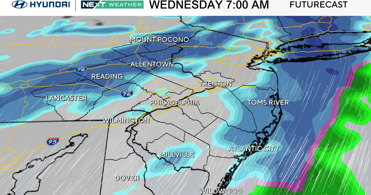
This system coming up from the south keeps showing signs of wanting to head more south than north. That can serve to lower the snowfall totals north of Philadelphia and increase them to the south. The computer generated solutions for totals range from a total miss, according to the latest RPM model, to the Euro's 1 inch range in the Lehigh Valley, 1 to 3 inches through Philadelphia, with a few 4 inch plus spots possible especially south. Remember this storm doesn't arrive until late Sunday night and further changes in track can be expected in the upcoming models.
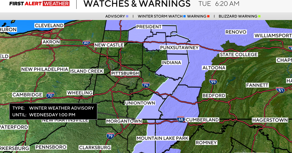
At this point, no winter storm warnings or advisories have been posted, but that too is subject to change if areas of the Delmarva or extreme southern New Jersey see the 3 to 5 inch snowfall range.
In any case, the March sun angle makes it harder to keep snow on paved surfaces for long, so the impact of this system, whatever it turns out to be, should be less than if this happened in January or February.
