WEATHER BLOG: March 1 And Snow On The Way
By Carol Erickson
PHILADELPHIA (CBS) -- It might be meteorological spring today, but everything else points to the dead of winter.
The giant storm system drenching California is making its way east and most of the center of the country from west to east will feel impacts over the next two days.
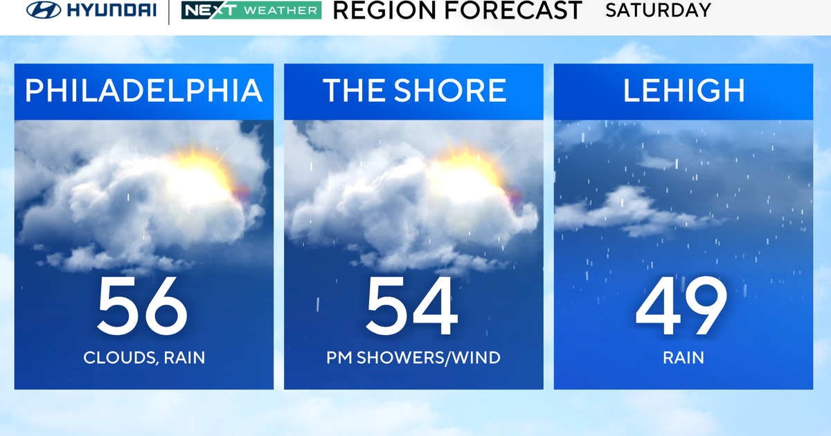
In our area, a cold front is also pushing in, guaranteeing enough cold air for an eventual changeover from Sunday's rain to sleet and freezing rain to all snow by Monday in all locations.
Computer guidance puts snow totals around 6 to 10 inches, with lower amounts also possible along the storm's southern edges where some of the precipitation will begin as rain.
Temperatures Sunday afternoon could approach 50 degrees in some spots before the cold front brings down more of that arctic air deeper into the region. That chill sets a welcoming stage for snow lovers, of which there are probably none by this late in the almost second snowiest winter ever in Philadelphia.
The only good thing about this storm is its rapid exit, clearing out by Monday evening. However, the fresh snow pack and reinforced cold will drop temperatures to 10 degrees on Monday night.
Make all precautions necessary to keep people and pets warm, dry, and well fed until the groundhog says it's finally spring.
