Weather Blog: Coastal Flood Threat Continues
By Justin Drabick
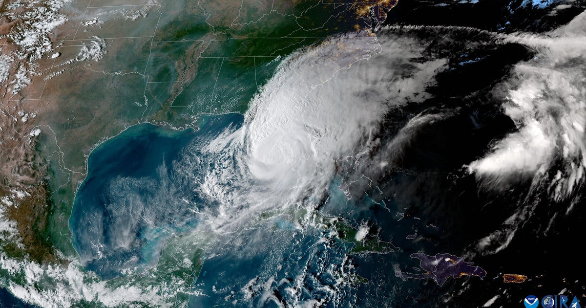
PHILADELPHIA (CBS) -- Post-Tropical Cyclone Hermine continues to remain a strong storm off the mid-Atlantic coast today. The storm is about 100 miles farther east than expected, allowing for sunshine to break out across the region and allowing for a pleasant and dry finish to the Labor Day weekend.
However, the storm is still forecast to strengthen a bit and move back a bit toward the coast over the next 24 hours. This will allow the wind to increase again later tonight and on Labor Day along the coast, and keep the tidal flooding threat through at least Monday night. High surf and strong rip currents will also continue for the next several days.
Tropical Storm Warnings remain in effect for far southern and eastern New Jersey and Delaware this weekend.
READ: New Jersey, Delaware Shore Towns Brace For Hermine
Winds: If the storm strengthens and tracks back westward, winds could gust to 40-50 mph later tonight and on Labor Day. Winds will start to decrease on Tuesday as the storm slowly move back off to the northeast.
Coastal Flooding: Tidal flooding along the oceanfront and bays will continue at high tides. Minor to moderate coastal flooding is expected again at tonight's high tide at 10-11:30 p.m. and moderate to major tidal flooding possible at Monday morning's high tide at 10:30-11:30 a.m. The threat for coastal flooding continues through at least Monday night's high tide.
