Weather Blog: Another Day, Another Deluge
By Steve Strouss
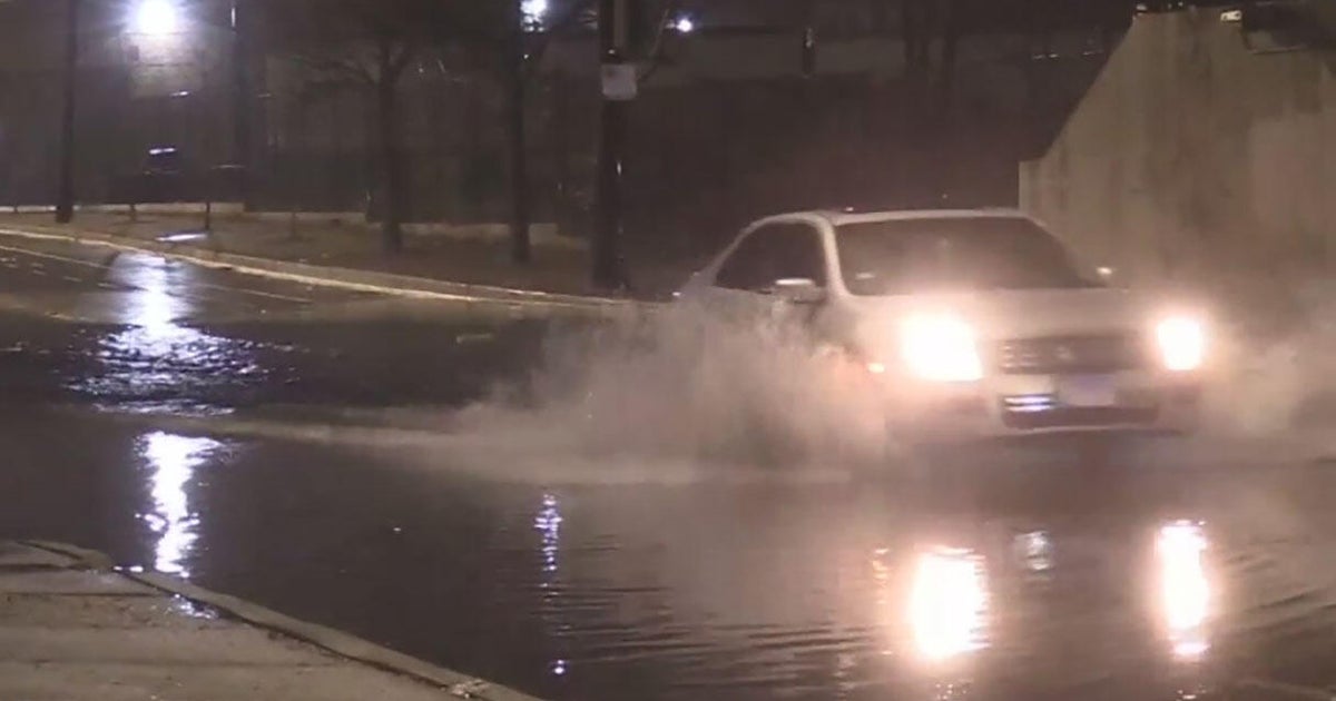
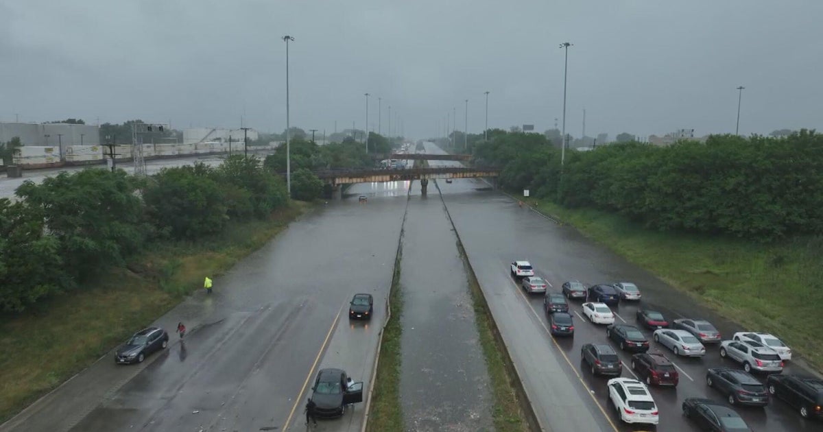
PHILADELPHIA (CBS) - Mother Nature is soaking the region again today with over five inches of rain in parts of the region. A Flash Flood Watch remains in effect until 2AM Saturday and numerous Flood Advisories are in effect for Philadelphia and surrounding counties. The rain came down hard in the state of Delaware this morning. Heavy rain stranded vehicles on many roads near Dover. Water, a foot deep was reported across some sections of Kent and Sussex counties and traffic was snarled as water rescues took place. A daily record amount of rain was reported in Georgetown, DE today where 3.41 inches of rain fell. The previous record of 1.38 inches was drowned out of the history books as a result. Rehoboth Beach picked up 5.37 inches and Bethany Beach is drying out after sustaining 4.06 inches in just a few hours. This much water combined with rainfall rates of 1 to 3 inches per hour will cause ponding on roads, poor drainage flooding and rapid rises on small creeks and streams. If you are caught in a flash flood at home or on the road it is best to seek higher ground. Never drive or walk through flood waters and evacuate if instructed.
In PA and NJ bands of heavy rain moved through during the afternoon and evening as the upper level low moved north. Timing couldn't have been worse as downpours and low visibility exacerbated and already slow Friday PM commute. The bands of heavy rain that were once over Delaware have now weakened but the rest of the night in the Philadelphia will remain soggy and umbrellas will be required at other times through the weekend. Once this super soaker moves out another type of dangerous weather will creep in. Temperatures next week will climb into the 90s and with the combination of high humidity, we could once again feel dangerous heat index values approach 100 degrees. Stay with the Eyewitness Weather Team for the latest on your weekend forecast and beyond.
