Weather: 2 Snow Chances Coming Up
By Steven Strouss
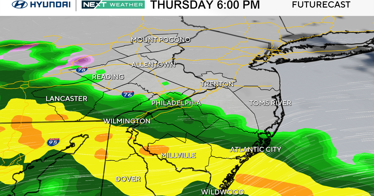
PHILADELPHIA (CBS) -- We are tracking a developing area of low pressure which is poised to sneak up the coast later tonight. The track of this storm will be far enough offshore to spare our region from significant impacts but light rain mixed with wet snow is possible, mainly to the east of Philadelphia, as it brushes by Friday morning.
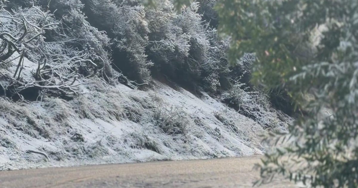
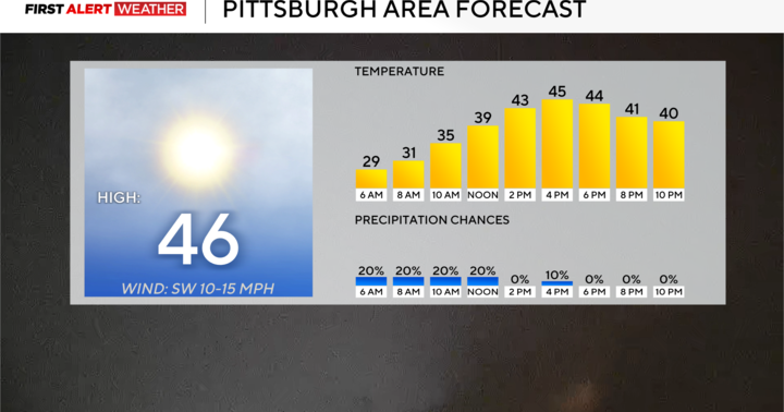
Snow may accumulate on grassy surfaces and some slippery conditions could develop for early commuters across coastal counties of New Jersey. The storm will be a quick hitter and will end in most areas by 9 a.m. on Friday. The rest of Friday looks better with clouds breaking for sunshine and temperatures rebounding into the mid 40s.
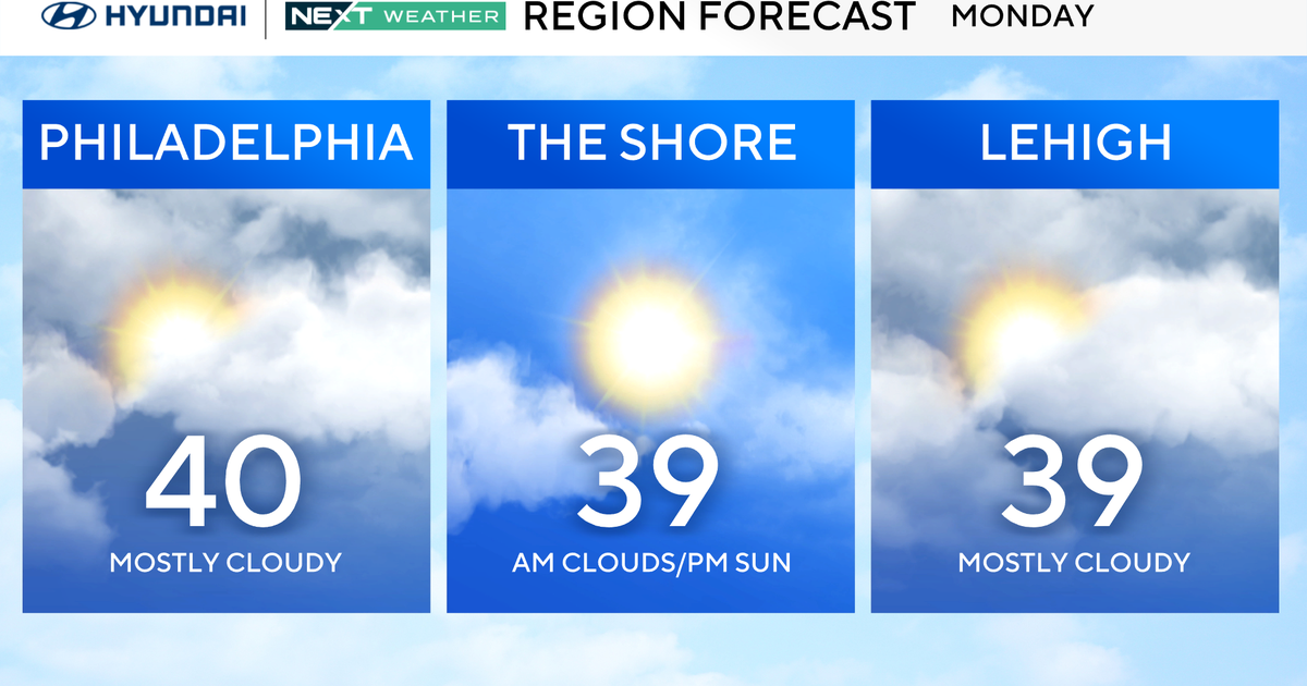
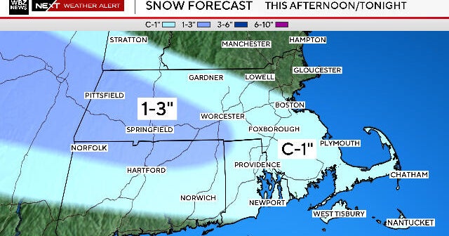
The weekend will be quiet and the next chance for snow won't arrive until early next week. Monday will feature an increase in clouds as a storm system swings by the Great Lakes. This may bring snow showers to the area as early as Monday night but then it transfers some of its energy to the coast on Tuesday as a reinforcing shot of cold air moves in. We will monitor this for enhanced development but right now it appears that some accumulation is possible on Tuesday.
Of course a lot can change over the next 12-24 hours so stay with the Eyewitness Weather Team for the latest details on these two snow chances.
