Throwback Thursday (Temperatures That Is!)
By Geoff Bansen
PHILADELPHIA (CBS) - Let me take you back, WAY way back, all they way to the first week of March. Back to a time where the high temperature failed to get out of the 40s for an entire week.
There's a very good chance that today will mark the beginning of a new week-long stretch -- a true sign that winter is not too far away.
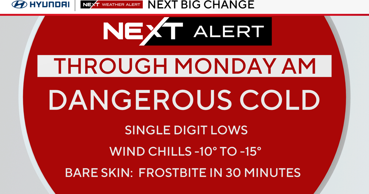
An arctic shot of cold air is settling in, with no plans of going anywhere for a while. In addition, sun will give way to clouds later this morning, and wet weather will be moving in towards the evening hours.
While Philly and areas to the south won't have to worry about the type of precipitation, areas to the north and west could see a few flakes of that 's' word! It's nothing to worry about; the only surfaces where any could stick would be trees and cars. After two straight days of 70 degree highs, most surfaces will be too warm.
This quick batch of precipitation will wrap up after midnight, and Friday and Saturday will both be bright and chilly days.
Clouds increase on Sunday and the next chance for wet weather comes Monday into Tuesday.
The big story, however, remains the well below average temperatures.


