Threat For Showers And Thunderstorms Thursday, Soggy End Of The Week
By Kate Bilo
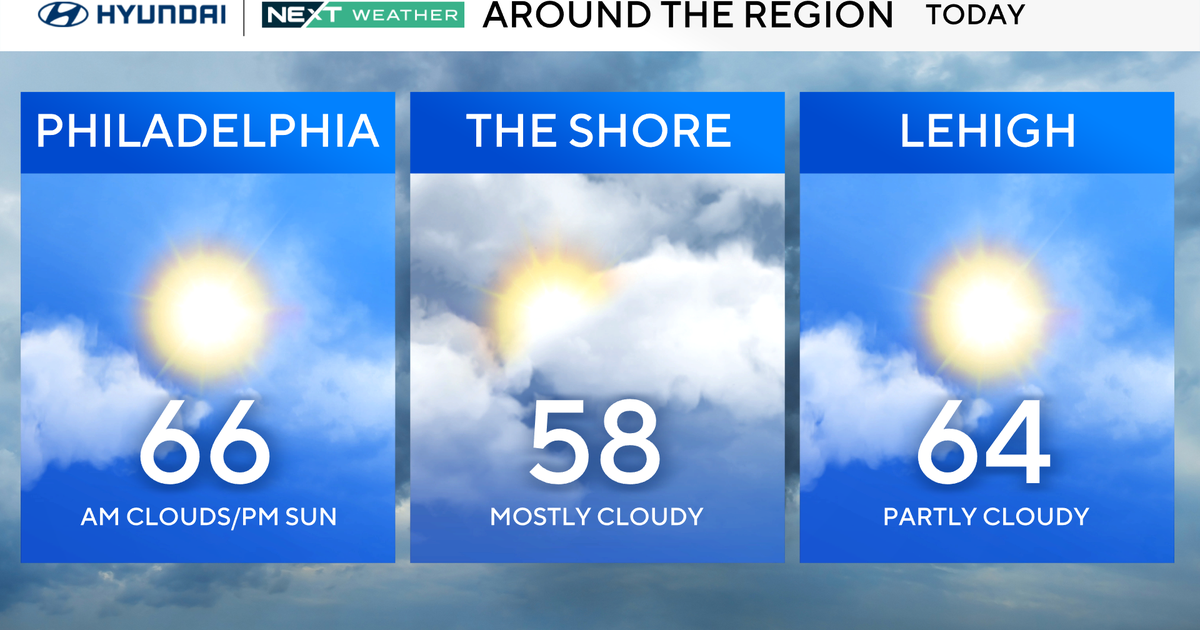
PHILADELPHIA (CBS) -- We just couldn't break out of the cloud cover today, and that kept temperatures well below recent days. The good news is that most of the wet weather stayed away today, and while we may have some fog and drizzle to deal with overnight, we're not expecting anything heavy... for now.
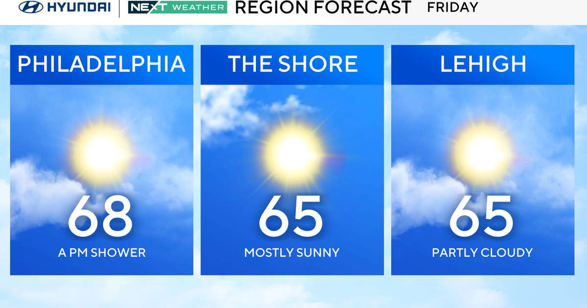
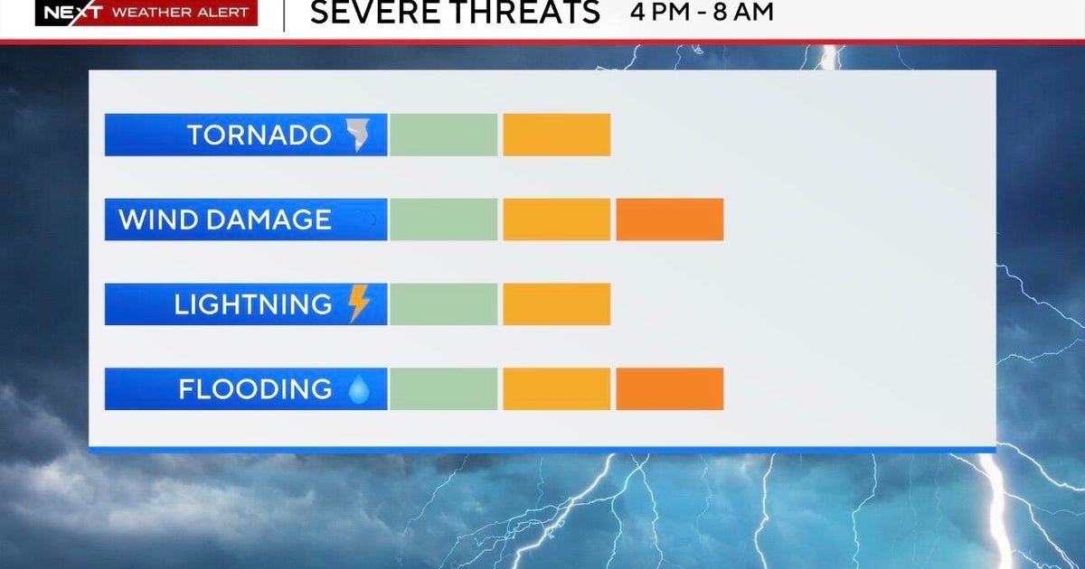
Tomorrow we will be lodged firmly in what's known as the "warm sector" of this approaching storm - the warm sector being the area between the cold front and the warm front - and that will allow temperatures to head back into the low 80's. It will certainly feel warmer and steamier, but we also have the threat for showers and thunderstorms around through the afternoon. But these are just an appetizer, so to speak. The main course, or should I say the "rain course" arrives on Friday.
This slow-moving front is acting almost like a conveyor belt for tropical moisture. We've got moisture from the Atlantic and the Gulf all converging on this one boundary, and the jet stream will transport it all south to north during the course of the day. As of now, the axis of heaviest rain will be off to our west, with central Pennsylvania as well as portions of Virginia and Maryland in the area most likely to see over three inches of rainfall. But that's a close call, especially for areas from the city on west, where flash flood guidance indicates that it will only take around 2" of rain for flooding to begin.
Adding to the forecasting difficulty is that much of the rain will fall in some heavy thunderstorms, so it is impossibly to pinpoint exactly where those storms will set up and dump heavy rain. We are forecasting a general 1-2" of rain, mostly Friday afternoon into Friday night, with locally higher amounts up to 3" possible, especially in areas west of Philadelphia. Winds could be strong as well, especially in any thunderstorm.
Behind this system, improvement for the weekend - it will stay on the cool side, with highs around 70 degrees through the start of next week, but it looks generally dry with a good deal of sunshine. Any shower that pops up this weekend will be largely due to instability - triggered when you have sunshine and cold air aloft as the sun warms pockets of air close to the surface and those warmer pockets rise into the colder air above.
