Storms Moving Out Tonight, But Expect A Cloudy And Steamy Wednesday
By Kate Bilo
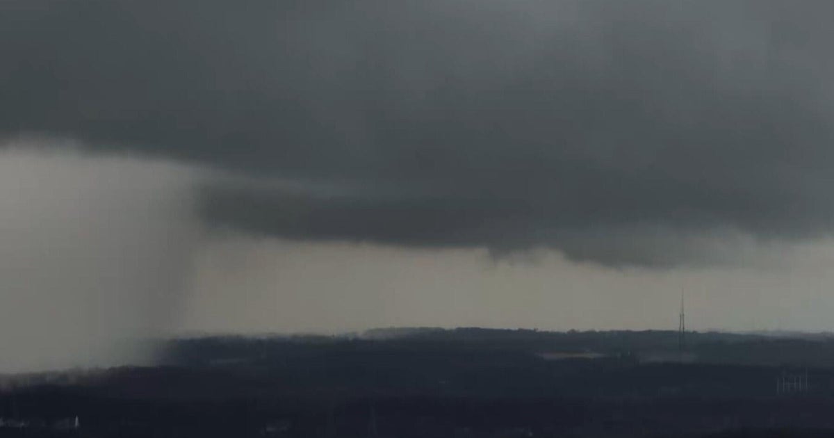
PHILADELPHIA (CBS) – It's another round of flooding concerns Tuesday, with slow-moving, moisture-rich storms sprouting across the region.
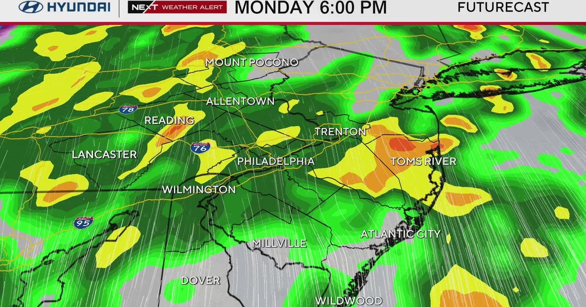
The heaviest storms today have been in portions of Delaware, especially New Castle and northern Kent counties, but other heavy storms have formed across eastern PA and New Jersey in this very steamy airmass. Tropical moisture is feeding these storms, and it's like wringing out a sponge when they form. Another problem is the lack of a strong steering flow in the atmosphere, which means these storms aren't being propagated quickly out of any given area - this means a long duration of rainfall in one area, increasing the risk for flooding.
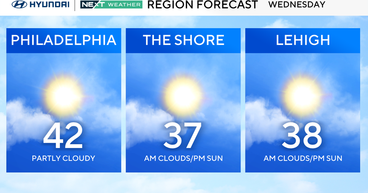
Once this system moves out tonight, weak high pressure will try to back in for Wednesday. This means most of the storms should fire up off to our west for tomorrow, but it's still going to be a cloudy and steamy day around here and we certainly can't rule out a shower at anytime.
Then we're tracking another slow-moving low from the south and west which will bring another round of showers and storms late Thursday and again on Friday with the passage of the cold front.
I do have SOME good news, though! Skies will clear during the day on Saturday and humidity will drop. We'll enjoy another pleasant weekend with highs in the low to mid 80's and a good deal of sunshine.
