Snow To Arrive Tonight Before Changing To Sleet, Rain Thursday Morning
By Justin Drabick
PHILADELPHIA (CBS) -- The southern jet stream remains active allowing for a low pressure system that's currently over the deep South to intensify tonight and head up the East Coast.
Snow is already beginning to fall in southern Virginia and will begin to arrive in the Delaware Valley from 9 p.m. to midnight. The heaviest precipitation will occur on the front side of this storm, which will move through Thursday morning. Cold air will be in place overnight for all locations to start as snow. Snow will be heavy at times overnight through early Thursday morning.
As the storm gets closer, milder air both aloft and at the surface will allow the snow to change to sleet and rain across southern NJ and Delaware and eventually around the city Thursday morning.
The latest trends this afternoon show the milder air tracking farther north and west in the PA suburbs. If this happens, snowfall amounts would be lower. Where the rain/snow line sets up will depend on the exact track of the storm. Drier air may also move into the region during the afternoon, so there may be a lull in the precipitation in some spots. During the evening, another lighter round of snow should move through before ending late Thursday night.
Six to 10 inches are still expected from around I-95 on northward with around 6" for Philly, but areas in the Lehigh Valley and Berks county could see over a foot. Southern NJ and central Delaware can expect 3-6" with 1-3" along the coast.
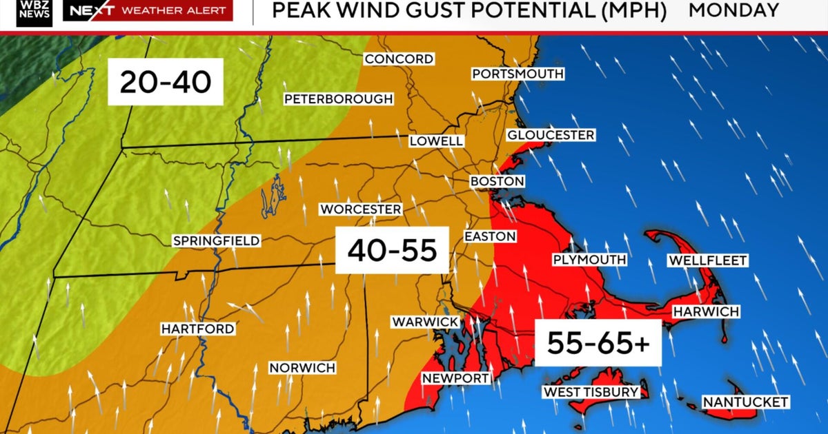
Wind will also be an issue along the coast with gusts over 40 mph possible Thursday morning as the storm intensifies and approaches. Minor coastal flooding is also possible as a coastal flood advisory is in effect for Thursday due to the stronger NE winds.
Power outages are also possible as the gusty winds and the heavier wet snow could take down more trees and power lines.
