Snow Recap
By Kate Bilo
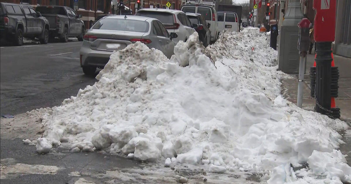
Well, we made it through our first real snow of the season - the official total thus far at the airport was 2.3", which means today's snow was more than four times the previous total for the entire winter thus far (as of yesterday, we had only seen .5" all winter!). There were a few areas that checked in with slightly over 3", but it seems like the majority of the Delaware Valley fell right in that 1-3" range.
The snow then changed over to sleet and freezing rain right on schedule, so our forecast panned out exactly as planned. The only difference? The storm decided to wind up and get out of here a little faster than we had anticipated, which means good news for anyone still trying to salvage some Saturday plans! Still a little freezing drizzle or a flurry through the first part of the afternoon, but skies will begin to clear and we may even see the sun break through before nightfall.
It's important to note, however, that even though the falling precipitation has ended, the roads are still slushy and, in many spots, snow-covered with a layer of ice on top. Hazardous road conditions will continue through the afternoon, getting progressively better through the day. But more problems emerge tonight, as skies clear and temperatures plummet into the middle-20s - everything will re-freeze, leading to the risk for black ice into the first part of Sunday.
Then another major swing in the weather pattern - ahead of an approaching cold front, Monday's high will make a run toward 60 DEGREES (!!) before a cold front sweeps through in the afternoon. It may even get warm enough that a few thunderstorms could pop up along that front. So we go from a winter-like Saturday to a spring-like Monday. Hold on to your hats, the weather swings continue!
