Snow, Ice & Rain Sunday Night & Monday
By Justin Drabick
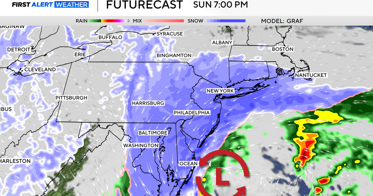
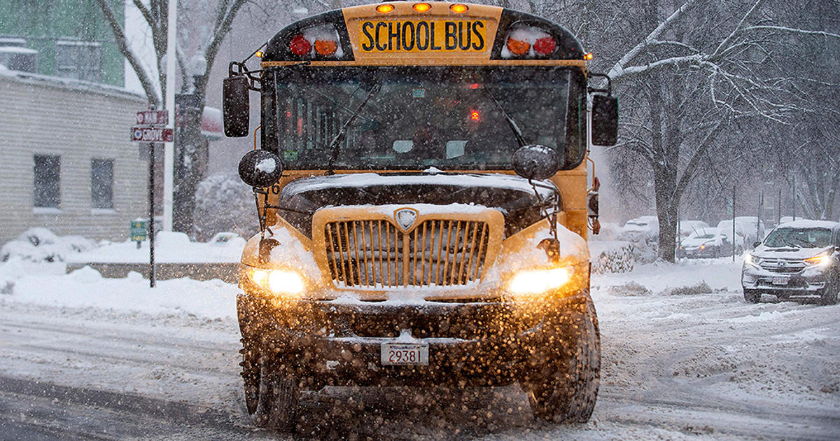
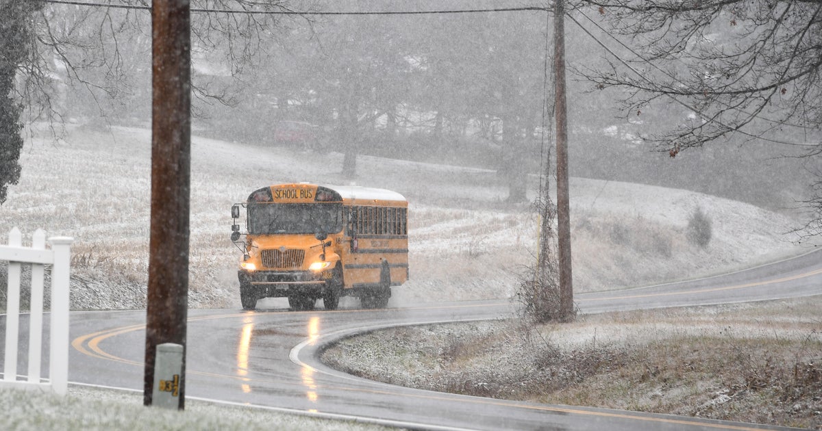
PHILADELPHIA (CBS) - Our next winter storm will move out of the Ohio Valley on Sunday and move into the Delaware valley Sunday night. This storm is able to strengthen enough take a more northern track and bring in some warmer air. However, with the recent arctic air mass in place, freezing rain will be an issue for parts of the area.
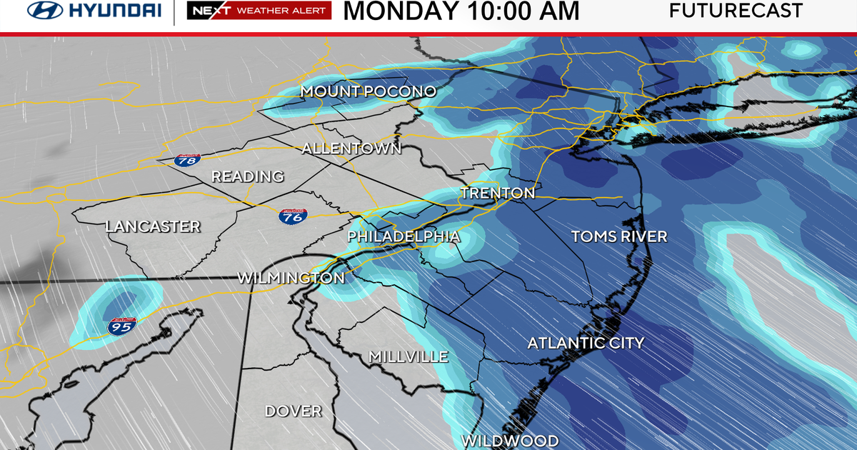
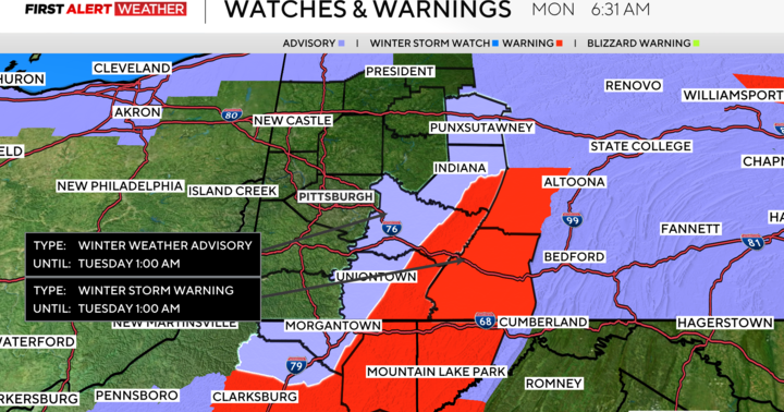
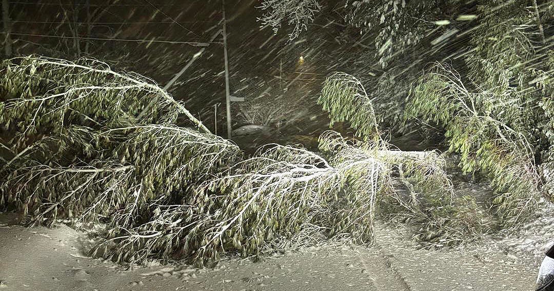
Winter storm watches and warnings are in effect for Sunday night for the far northern suburbs, Lehigh Valley & Poconos. Expect snow to arrive west to east across the region late in the evening, then change over to freezing rain and rain from south to north. The best chance for snow accumulation will be at the start of the storm, before the changeover. Areas north of Philly have the best chance to see ice accumulation overnight Sunday into Monday making for a very slow morning commute. As of now, snow fall amounts of around a coating to an inch for Philly, 3-6" for the far northern suburbs and Lehigh Valley and 6-10" for the Poconos.
The precipitation will begin to taper off late Monday morning into the afternoon and could end as some snow, as colder air returns to the region. Windy and much colder conditions return Monday night and for Tuesday.
