Severe Storms Slam Delaware Valley
By Eyewitness Weather Team
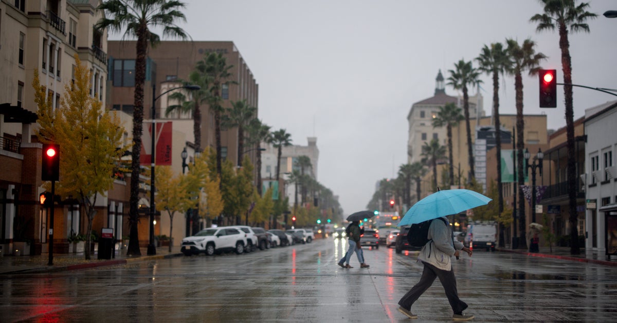
PHILADELPHIA (CBS ) -- Yet another weather system is expected to affect the Mid-Atlantic region Thursday, and this time severe weather is expected to play an important role in addition to flooding.
Wednesday, the Storm Prediction Center in Norman, Oklahoma placed portions of Southern New Jersey, Southeastern Pennsylvania, and the Delmarva region under a moderate risk for severe weather. This moderate risk includes the potential for heavy downpours, hail, strong gusting winds, and even an isolated tornado.
Multiple conditions have help set-up the enhanced severe threat. Once a warm front pushes through Southern New Jersey and Southeastern Pennsylvania, dew points will continue to elevate, and the sun will heat the surface to temperatures in upper 70s and low 80s. This will increase the instability in the atmosphere, and along with wind shear, will increase the potential for severe weather to develop.
Severe weather is not the only threat with this system. Much of the region has the potential for flooding rains with flood watches in effect until late tonight. With the ground already saturated, and streams and creeks high from previous rainfall, flooding is very likely to occur. Any additional rain will pile on to our already impressive 6.79" June total.
Following this morning's strong line of storms, we will see some sunlight break through the clouds and heat up the surface temperatures will increase. Once this happens, we will begin to monitor any pop-up supercells and severe weather threats to the Philadelphia area. Overall, 1-4" is expected in the Philadelphia region, with the higher totals north of the city and the lower totals to the south.
If your county is placed under a watch, this means that you should be aware of the weather in your area, and continue to monitor for more severe alerts. If you are placed under a warning, you should take the appropriate action and find shelter in a nearby location.


