Saturday Storm Update
By Kate Bilo
After a pretty snow-starved winter, we finally have a few chances for snow in the forecast. Nothing huge, and if this were last year or the year before, it would be merely a blip on our collective radar, but for those who have been patiently awaiting the arrival of ANY snow, it will be welcome.
Tonight's system is a weak and moisture-starved clipper that is being drained of even more moisture to our west. I think it's flurries, maybe a dusting at best in areas north of the city, and it's out of here by Friday morning. But behind the clipper, a reinforcing splash of cold air will help set the stage for Saturday's system.
A lot of this is dependent on the exact track of the storm and how quickly it exits. However, it looks like the snow will begin very early Saturday morning, probably around 2 or 3 a.m. It should start as snow for the entire area and then as warm air lifts in ahead of the storm, will begin to mix with sleet, freezing rain and rain from south to north. By around 7 a.m., I expect it to be raining in Southern Delaware and Southern Jersey, with some mixing happening in the city. By noon, surface temperatures in the city will be above freezing so we should see a period of rain before the storm departs. This is a quick moving storm and by the time we hit the afternoon, all that's left is a lingering flurry or snow shower.
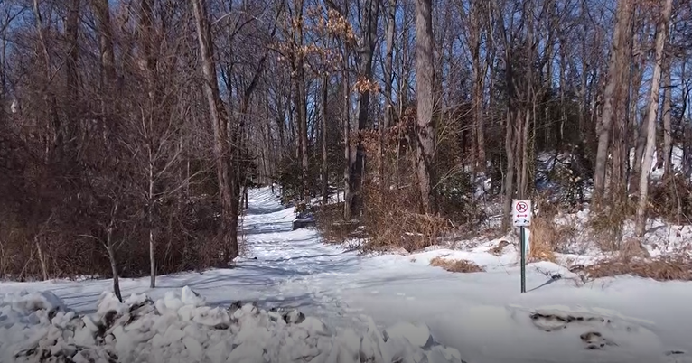
As of right now, all the data coming in does suggest accumulating snow in the Philly metro area at the onset of the storm. How long it stays all snow is the key factor here, but I think we could end up with about 2", with some slightly higher amounts in the north and west suburbs. Parts of Camden, Gloucester and Newcastle counties may see a slushy inch or so, and the real winner will be the northern Lehigh Valley and the Pocono mountains, where over 4 inches could fall. I don't see a changeover to rain from Quakertown on northward, so that will help bump those accumulation totals a little higher.
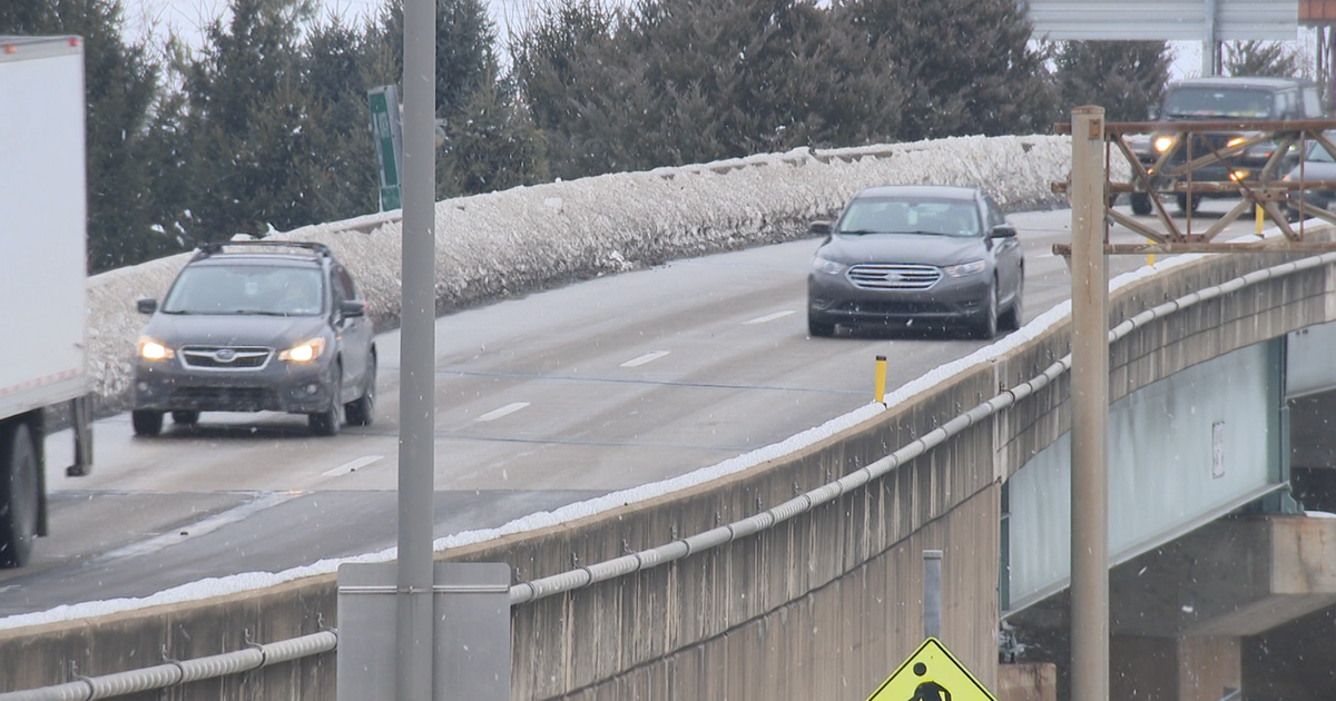
Once the mixing begins, the snow will erode and compact quickly, and with high temperatures on Saturday near 40, it won't be around for very long. But it's important to note that if you need to be out on the roads Saturday morning, you'll have some problems everywhere. After 3 days of cold, the snow will stick to the roads, and any changeover could feature some sleet or freezing rain, leading to slippery spots. Even in South Jersey and Delaware, a steady rain will be falling through at least noontime.
This is not a coastal storm, it's a quick-hitter from the west and it doesn't have a TON of moisture to work with, but it will produce enough snow, sleet and rain to lead to a slippery start to Saturday.

