Red flag warning issued for South Jersey on Thursday for increased fire danger. Here's the full forecast.
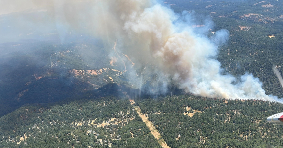
Fire danger has ramped up across the region, and a red flag warning was in place in South Jersey between 11 a.m. and 6 p.m. Thursday. What does that mean?
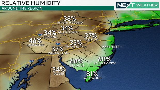
The dry conditions combined with gusty winds could create the perfect conditions for wildfires that can ignite and spread quickly.
Shawn Judy, a supervising forest fire warden in New Jersey, said the conditions are unlike anything he's experienced.
"The conditions that we're facing right now, we have not seen, certainly in my career, so we're a little bit on edge," Judy said.
Judy and his colleagues are taking precautions.
"We've elevated our patrol levels," he said. "We're staffing out lookout towers, and all of our air assets are ready to fly."
Philadelphia, the Pennsylvania suburbs, and Delaware are not currently in the warning area, but that may change. All residents of the Delaware Valley are urged to avoid using flames outdoors and use caution when smoking.
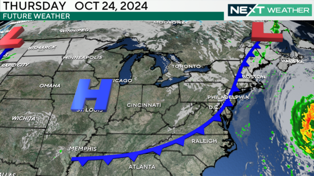
A cold front that moved in this morning is partly to blame for the fire conditions.
You may wake up to a sprinkle or two as the front moves across, but it's not going to be much.
The front is bringing winds gusting to 30 mph, along with much cooler and drier air. Temperatures don't move much this morning from the overnight lows in the 50s. We'll see a high of around 68 in Philadelphia with a chance of 70 down the Shore.
Then the cool air really hits us Thursday night behind this front. We'll see temperatures drop to the 40s so you'll definitely want a jacket or hoodie when heading out Friday morning. The high will be a more seasonable 66 degrees.
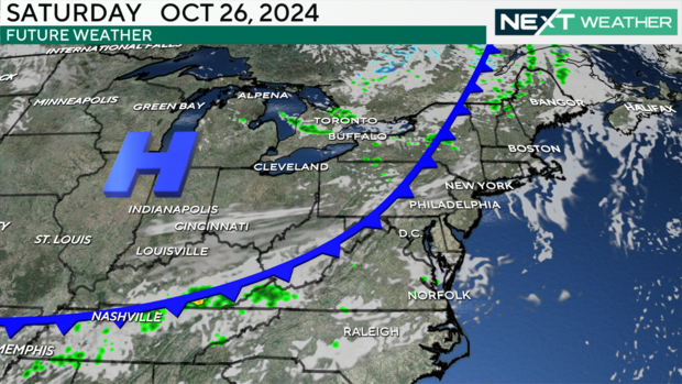
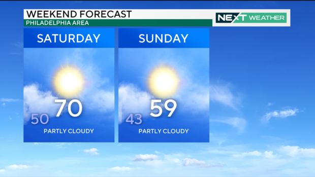
Another cold front will cross the area Saturday, but that front also looks devoid of rain, and it will deliver even colder air with highs on Sunday in the mid to upper 50s. Temperatures will then rebound to the mid-70s by early next week.
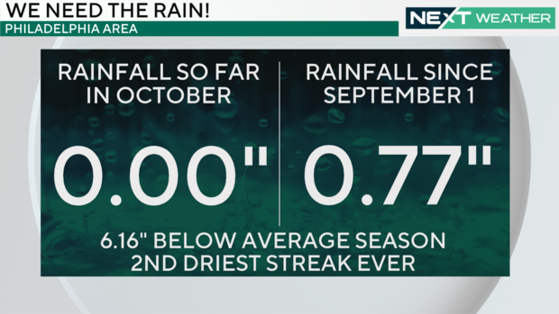
Our drought conditions are worsening and we are now more than 6 inches below average for rain in the fall season. No rain has fallen this month and only 0.77 inch has fallen since Sept. 1.
A new drought map will be released from the Drought Monitor on Thursday, and the area of severe drought is expected to have spread with the potential for areas of extreme drought.
Unfortunately, this rainless streak will continue into the weekend as we close in on a 150-year-old record for the longest dry stretch in Philly history of 29 days, set in the fall of 1874.
If we reach Sunday with no measurable rainfall at Philadelphia International Airport, we will tie that record, and if we reach Monday, we will set a new record of 30 rainless days.
The next best chance of rain may arrive around Halloween. Stay tuned.
On the flip side, we will have sunny and dry conditions for the weekend, which presents another opportunity to decorate for Halloween, rake up leaves or enjoy a drive to take in the fall colors.
Enjoy the later hours of daylight while you can. We flip the clocks back an hour and return to standard time 11 days from now on Sunday, Nov. 3.
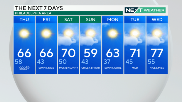
Here's your 7-day forecast:
Thursday: Cooler, breezy. High 66, Low 58.
Friday: Sunny, nice. High 66, Low 43.
Saturday: Mostly sunny. High 70, Low 50.
Sunday: Chilly, bright. High 59, Low 43.
Monday: Sunny, cool. High 63, Low 37.
Tuesday: Mild. High 71, Low 45.
Wednesday: Nice and mild. High 77, Low 55.
