Mostly warm and sunny this weekend in Philadelphia, isolated sprinkles possible

Our Friday will start with temperatures in the low and middle 60s across much of the Delaware Valley and shore communities and a few upper 50s throughout the Lehigh Valley. Once again, despite an area of low pressure meandering off the coast, skies will remain mostly sunny to partly cloudy through the morning and into the afternoon.
While most of the day will remain dry, a few isolated sprinkles may develop through Friday afternoon, but overall, the theme will be mainly dry and warm conditions. High temperatures Friday afternoon will return to the low-middle 80s, running 5 to 7 degrees warmer than usual for this time of year.
While the low-pressure system off the coast will have a very limited impact on our region, it is producing a little bit of a coastal flood concern that will last through Friday into early Saturday. Higher-than-normal tides with water levels running 1 to 2 feet above normal could produce some high-tide flooding along the Jersey Shore, Delaware Beaches and into some of the back bays. A coastal flood advisory is in effect for these areas until Saturday at 6 a.m.

By this weekend, an area of high pressure centered northeast of Maine will begin to push some drier, cooler and more stable air into the Philadelphia area. Temperatures Saturday afternoon will have a good chance to hit 80.
A cold front approaching from the northwest will produce a few light showers ahead of it Saturday night with a few potentially lasting into Sunday morning. Once the front and the associated showers clear the region Sunday morning, cooler temperatures will begin to filter in through Sunday afternoon and into early next week. Sunday highs will only be in the low to middle 70s with lows in the low 60s and upper 50s. This dose of slightly cooler conditions will be perfect with Sunday being the first official day of fall — the autumnal equinox is at 8:43 a.m. Sunday.
Monday appears to be even cooler with temps struggling to climb out of the 60s.

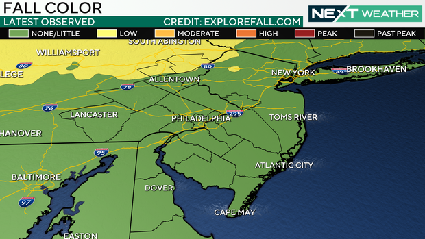
Speaking of fall, some early fall color is starting to appear in the Poconos and across northern Pennsylvania. Peak color in the Poconos typically occurs through the first half of October with peak color in the Delaware Valley occurring during mid to late October.
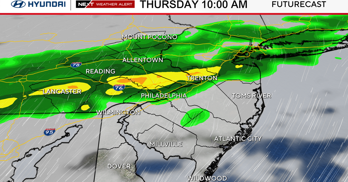
Right now the next decent chance of rain could come from a cold front that may move into the eastern half of the United States into the second half of next week.
Here's your 7-day forecast:

Friday: High of 84, low of 63, mostly sunny
Saturday: High of 81, low of 62, mostly sunny
Sunday: High of 74, low of 62, cooler, some sun
Monday: High of 72, low of 58, sunny, cool
Tuesday: High of 71, low of 58, partly cloudy
Wednesday: High of 73, low of 62, shower possible
Thursday: High of 72, low of 64, shower possible