Mainly dry Tuesday across Philadelphia region, but when will storm chances increase?
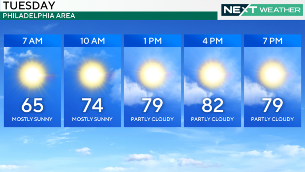
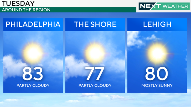
PHILADELPHIA (CBS) -- The remainder of our week will be mainly dry and sunny with a chance at a very isolated shower, however, a vast majority of the Philadelphia area will have no rain the entire work week.
High temperatures will remain in the 80s and climb to the upper 80s by the end of the week. Overnight, our low temperatures will be refreshing with 50s and 60s across the region — perfect sleeping weather!
The next chance for organized rain and thunderstorms arrives next weekend, although details are still coming together regarding the timing and intensity of the storms.
Sunsets may be a bit more colorful this week due to some smoke from the Canadian and California wildfires. This smoke will be high in the atmosphere and nothing like the dangerous air quality we faced last year.
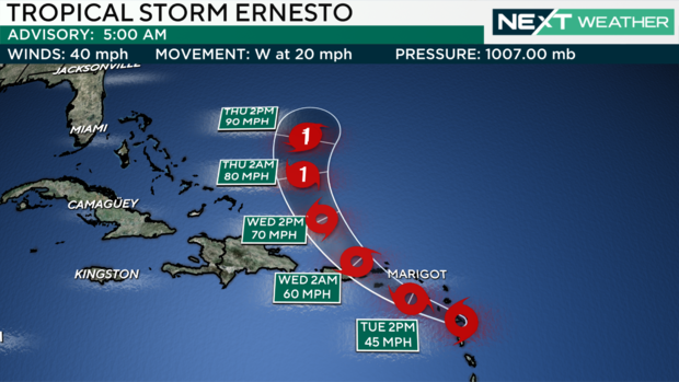
Turning to the tropics -- our newest tropical system has developed west of the Windward Islands in the Caribbean.
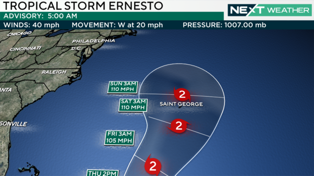
Tropical Storm Ernesto is the fifth named storm of the season, and it's expected to strengthen into a hurricane.
As of Tuesday morning it was near the French territory Guadeloupe on the eastern edge of the Caribbean Sea, heading north and west toward the British Virgin Islands and Puerto Rico.
Ernesto will make a turn just east of the Bahamas and start heading north, strengthening into a Category 2 or higher hurricane by the weekend. It could affect Bermuda as it heads north.
While Ernesto likely stays out to sea away from the Philadelphia region, it could churn up the ocean water as it passes by, so look out for an increased risk of rip currents and rough surf early next week if you're at the Jersey Shore or the Delaware beaches.
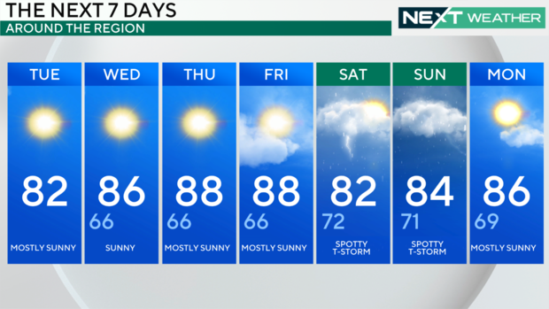
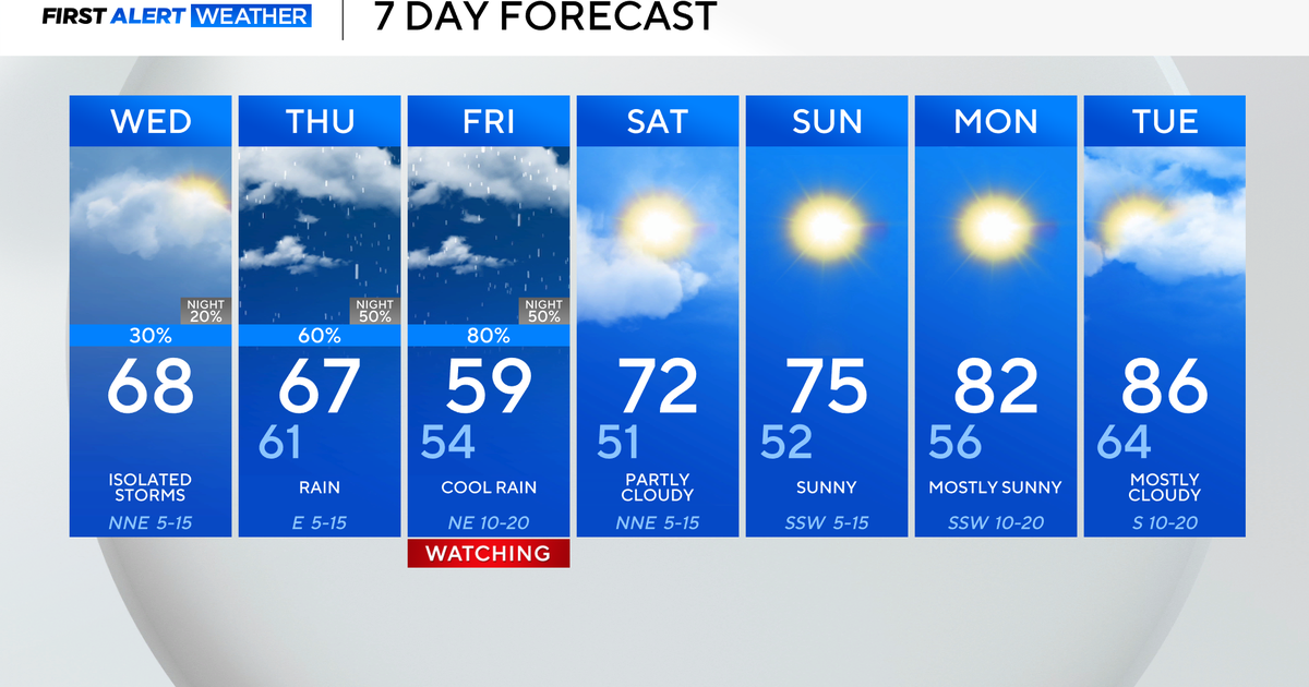
Here's your 7-day forecast:
Tuesday: Sunny, mild and beautiful. High 82
Wednesday: Sunny and nice, warming up slightly. High 86
Thursday: A little warmer. High 88
Friday: Clouding up, more humidity. High 88
Saturday: Spotty T-storms. High 82
Sunday: Chance of spotty T-storms. High 84
Monday: More sun. High 86
