First of 2 weather systems to arrive Tuesday in Philadelphia region. Here's what you need to know.
PHILADELPHIA (CBS) — Two weather systems we're tracking this week each have the threat to bring heavy rain that could cause flooding in the Philadelphia region.
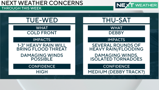
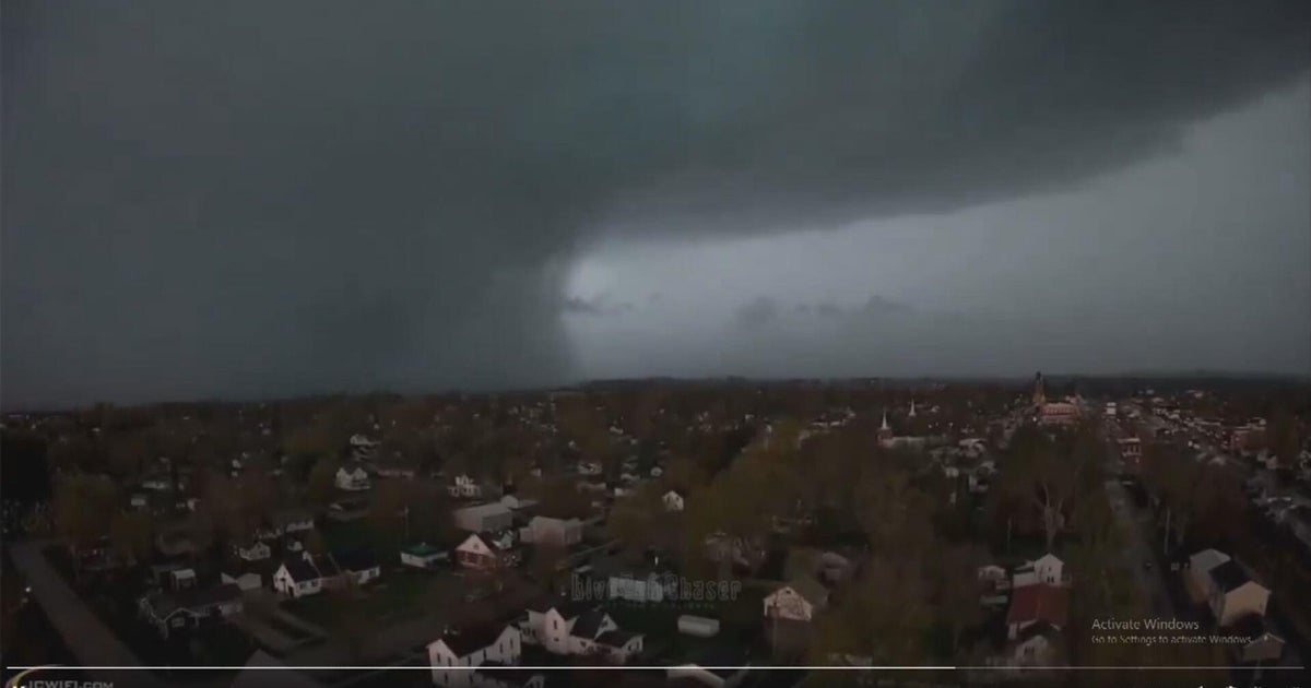
A cold front will approach from the northwest on Tuesday evening into early Wednesday morning, bringing the threat of storms during the afternoon and evening.
A flash flood warning has been issued by the National Weather Service for parts of the following counties until 1:15 a.m. Wednesday:
New Jersey: Burlington, Camden,
Pennsylvania: Bucks, Philadelphia
Previously, the NWS issued a flash flood warning for Delaware and Montgomery counties in Pennsylvania effective until 12:15 a.m. Wednesday and Berks County until 11:30 p.m.
A thunderstorm watch has been issued for parts of Pennsylvania and South Jersey until 11 p.m.
Chief Meteorologist Bill Kelly is tracking Tuesday's severe storms on Facebook Live.
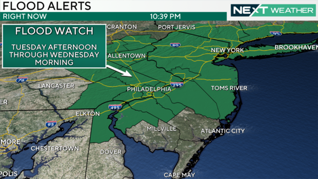
A flood watch will be in effect from 2 p.m. on Tuesday through 12 p.m. Wednesday for Philadelphia, Chester, Delaware, Montgomery, Bucks, Berks, Lehigh and Northampton counties in Pennsylvania, along with Camden, Gloucester, Salem and Burlington counties in New Jersey, and New Castle County, Delaware.
The greatest risk of storms will likely be between 6 p.m. and midnight, but storms are possible outside of that timeframe. Any storm will accompany heavy rain, frequent lightning and the possibility of gusty winds. There is also a chance of small hail.
Many areas will see 1 to 2 inches of rain, but scattered areas where the strongest storms linger could see even higher rainfall totals.
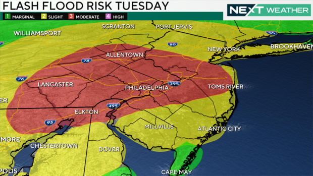
Much of the region is under a Level 3 or "moderate" risk of flash flooding, mainly for the more urbanized parts of New Jersey and eastern Pennsylvania.
Remember, do not drive through flooded roads. Turn around and don't drown! It only takes a few inches of water to stall a car and anything higher risks floating your vehicle.
We could also see a low-end tornado risk, mostly in the westernmost zones of our region.
The front bringing these storms will stall nearby, leaving Wednesday and Thursday unsettled, but much cooler. High temperatures will only be in the 70s and Wednesday and Thursday, and it will be damp and dreary with showers and even some rumbles of thunder at times.
Remnants of Debby bringing heavy rain to Philadelphia area
On Friday and Saturday — and possibly Thursday if the storm speeds up — we will likely see widespread flooding rain as the moisture from Tropical Storm Debby arrives in our area. An additional 2-4 inches of rain aren't out of the question and some models have far more than that. Damaging storms are possible as well during this time frame.
The biggest challenge will be to pinpoint where and when most of this will impact our area. Forecast models are vastly different at this point with one having most of the rain Friday night/early Saturday, while another is more Saturday/Saturday evening.
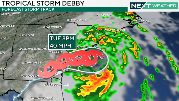
As for Debby, the storm will likely cause catastrophic damage in parts of the southeastern United States, from Florida to the Carolinas, with feet of rain possible in spots. Combine that with the wind, storm surge, and severe potential, and it's a recipe for massive impacts that may last for weeks in some areas. That includes travel and includes us in the Delaware Valley.
As always, the NEXT Weather Team will keep you posted with constant updates throughout this busy week.
