Chance of thunderstorms on Monday in Philadelphia region; more storms come later this week
PHILADELPHIA (CBS) -- The week ahead slips into somewhat of an unsettled pattern with several rounds of rain through Thursday night. Our Monday will get started with mainly dry conditions though an isolated shower cannot be ruled out. Otherwise, skies will be partly sunny to start the day before more clouds develop into the afternoon.
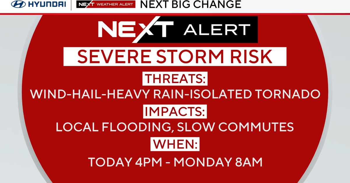
The chance for scattered showers and thunderstorms will also increase into the afternoon with periods of heavy rain possible. Storms are not expected to be severe, but isolated locations of heavy rain may result in some localized flooding.
The chance for rain will taper off through Monday night before increasing again through Tuesday afternoon into Tuesday night. While the clouds and showers in the area will help to keep temperatures near their seasonable norms in the mid-upper 80s, high levels of humidity will send the feels-like temperatures through the middle of the week into the middle 90s.
The next best chance of rain will arrive ahead of a cold front that will sweep across the Northeast Thursday afternoon into Thursday night.
By Friday morning, the front looks to push off to the east, bringing a close to the rainy pattern and giving way to plenty of sunshine for the weekend. We just have to get through somewhat of a rainy week before then.
7-day forecast
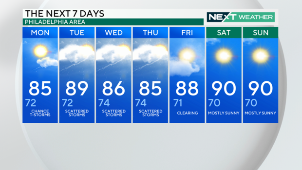
Monday: High of 85, low of 72, chance of thunderstorms
Tuesday: High of 89, low of 72, scattered storms
Wednesday: High of 86, low of 74, scattered storms
Thursday: High of 85, low of 74, scattered storms
Friday: High of 88, low of 71, clearing
Saturday: High of 90, low of 70, mostly sunny
Sunday: High of 90, low of 70, mostly sunny
