Philadelphia Weather: Heat, Humidity Peak Across Region Before Cold Front Brings Chances Of Scattered Storms
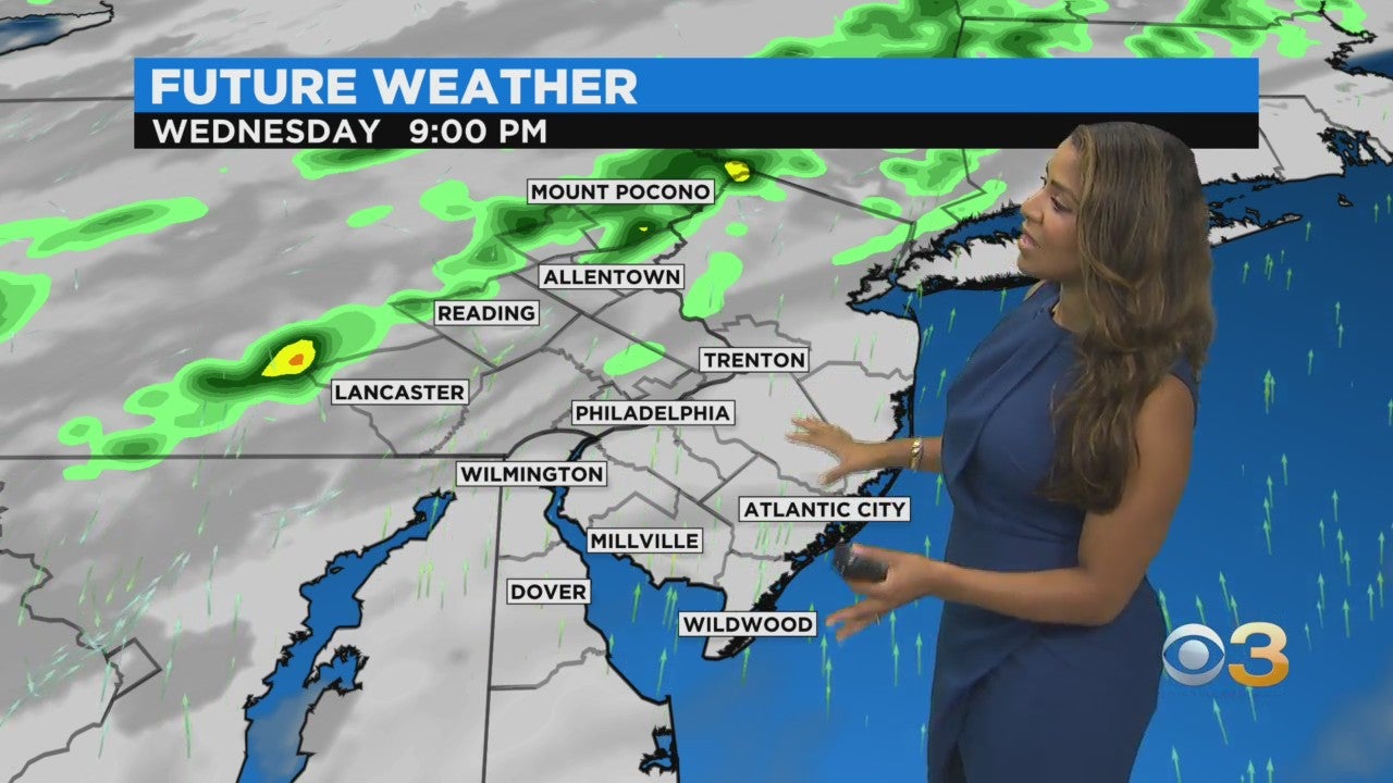
PHILADELPHIA (CBS) -- High temperatures and elevated humidity will peak on Wednesday and by Wednesday night a cold front will work its way through the region, bringing an increased chance of scattered storms.
A few storms could be strong to severe, mainly north and west of Philadelphia.
Tropical moisture both from Nicholas and a burgeoning tropical system presently east of the Bahamas will try to move in Thursday night into Friday though strong high pressure set to establish itself over the region may work to block this moisture out.
Right now, it looks like rounds of spotty to scattered showers and a few storms for this timeframe with potentially some heavier rain down at the Jersey Shore and over Delaware.
An east wind overtakes the region by Thursday which will cut down this unseasonable - and miserable - September heat.
Persistent cloudiness looks to prevail for the end of the week as well due to the onshore breeze and we stay fairly muggy though we may get a brief break Wednesday night.
The weekend is looking quiet with sunshine returning with highs climbing back above average into the mid-80s.
Indications are that a much drier, more fall-like air mass will arrive sometime midweek next week. Possibly on the first official night of the fall season.
An area of low pressure east of the Bahamas has a 60% chance of development in the next 5 days.
A tropical wave has emerged over the far eastern Atlantic near the coast of Africa.
This system has a 90% chance.
The next storm names are Odette and Peter.
Stay with CBSPhilly.com for the most up-to-date weather forecast.


