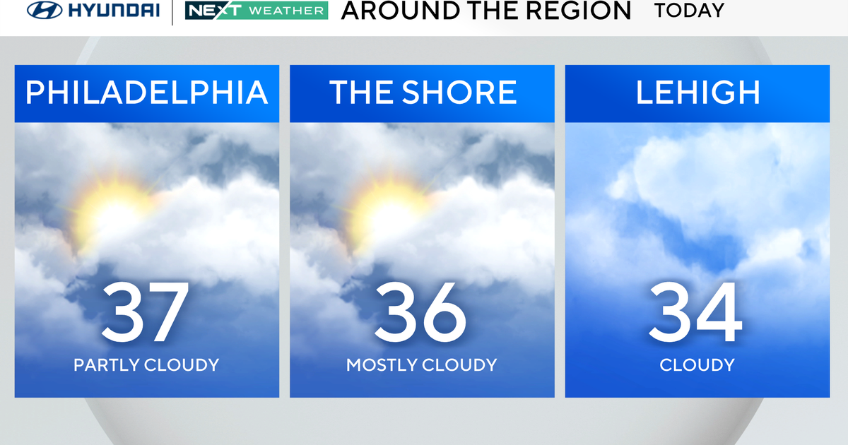
Fall-like temperatures and weather arrive in Philadelphia Monday, tracking mid-week rain
Welcome to the first week of fall! As if right on cue, Mother Nature will make it look and feel like it with highs the next few days in low the 70s after morning temps in the 50s to near 60 degrees.
The big question is about rain. When will we get any of it? It has been an incredibly dry month with only 0.41 inch of rain falling in Philadelphia so far in September, the driest since 2005. However, if we go back to Aug. 19, when our current dry trend started, we find ourselves in the driest stretch of weather ever recorded for that same time period. The previous record was 0.44 inch in 1969 (from Aug. 19 to Sept. 22).
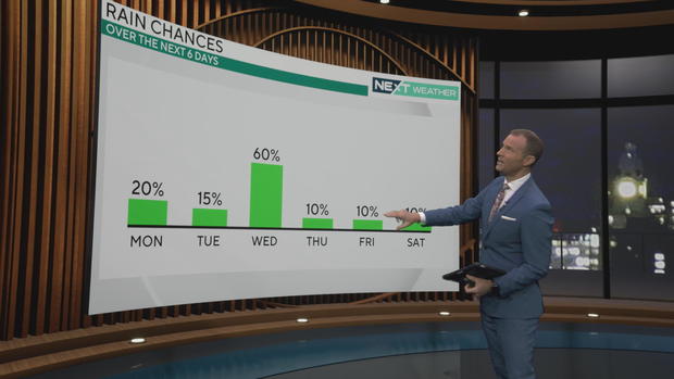
The mostly cloudy pattern will persist for the week ahead with the chance for a few stray sprinkles Monday. The better chance for some much-needed rain comes on Wednesday, and shower chances continue through early Friday. However, don't expect too much. The models have total rainfall in our area between 0.25-1.25 inches, with the potential for a little more, but it shouldn't be a flooding event.
This lack of rain has led to abnormally dry conditions across the Delaware Valley with pockets of moderate drought.
Coastal flooding will be a concern through Monday evening with 1 to 2 feet of moderate flooding possible along the shore points and back bays in Cape May, Cumberland and Kent counties. A coastal flood warning has been issued for those areas through 5 a.m. Monday. There is also a coastal flood advisory for shore areas not included in the warning, along with areas along the Delaware River and its tidal basins where up to 1 foot of flooding is possible during the high tides through 10 p.m. Monday.
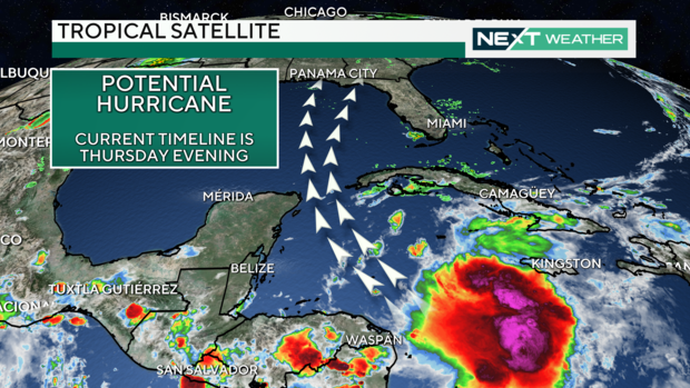
Turning to the tropics, there is a broad area of circulation and unsettled weather stretching from the Caribbean to the southern Gulf of Mexico. All forecast models point to a high chance of a tropical system developing early next week and tracking into the Gulf. It is too early to pinpoint where or the exact timing of this system, but if you are planning a trip to any of the Gulf Coast states next week, you will want to monitor the situation closely as we could be watching the next hurricane to make U.S. landfall, likely somewhere along the panhandle of Florida on Thursday evening.
The NEXT Weather Team will keep you updated here and streaming at CBS News Philadelphia.
After a relatively quiet stretch conditions are now turning favorable for increasing tropical activity in the Atlantic, Caribbean and Gulf over the next several weeks.
Next names on the 2024 list are Helene and Isaac. The "I" named storm has been particularly destructive over the past several years with Irma, Ida, Ian and Idalia. Hopefully, that will not be the case this season.
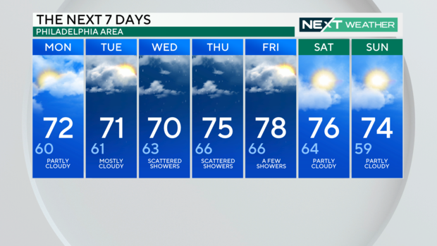
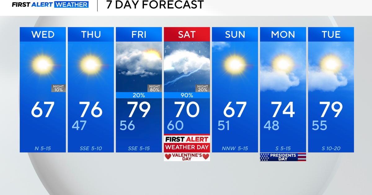
Here's your 7-day forecast:
Monday: High of 72, low of 60, partly cloudy
Tuesday: High of 71, low of 61, mostly cloudy
Wednesday: High of 70, low of 63, scattered showers
Thursday: High of 75, low of 66, scattered showers
Friday: High of 78, low of 66, a few showers
Saturday: High of 76, low of 64, partly cloudy
Sunday: High of 74, low of 59, partly cloudy
