Cool, fall-like morning weather around Philadelphia; When are higher temperatures back in the forecast?
PHILADELPHIA (CBS) — Tuesday morning is a crisp, comfortable one with overnight lows dipping into the 50s — making for perfect morning workout weather. If you're on the fence about going out for a run, bike ride or extended walk with your pup, there are definitely no weather-related excuses today and on Wednesday.
This totally flips the switch from the rain and humidity we had earlier. Unless you've really got a sweat going, you will likely need to grab a sweatshirt when heading outdoors the next few mornings as a cold front brings in much cooler and drier air from the north.
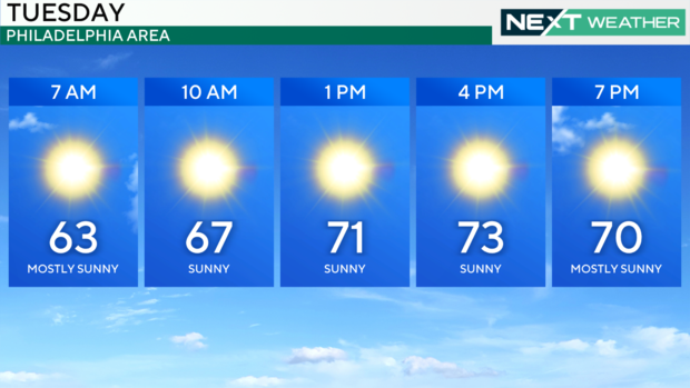
Temperatures on Tuesday break into the 70s by the afternoon, with morning lows Wednesday through Friday in the 50s, maybe even upper 40s in the Poconos. It is a crisp and bright stretch of sunshine that will last right into the weekend.
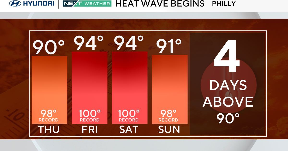
Fear not, summer lovers! The weekend warms up some, back to seasonable highs in the mid to upper 80s, followed by some 90s for a few days next week.
As for showers and storms, Mother Nature will be kind to us, keeping us dry for the foreseeable future with high pressure dominating our area.
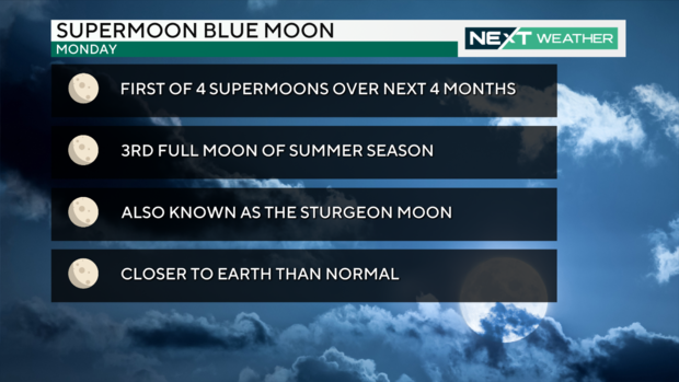
In case you missed it Monday night due to clouds, the supermoon blue moon will be 99% full Tuesday night, and the clear, dry air should make for some spectacular viewing when the moon rises in the eastern sky at 8:38 p.m.
Here's your 7-day forecast
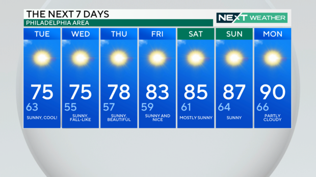
Tuesday: High of 75, low of 63, sunny and cool
Wednesday: High of 75, low of 55, sunny, fall-like
Thursday: High of 78, low of 57, sunny, beautiful
Friday: High of 83, low of 59, sunny and nice
Saturday: High of 85, low of 61, mostly sunny
Sunday: High of 87, low of 64, sunny
Monday: High of 90, low of 66, partly cloudy