Winter storm arrives in Philadelphia region, heaviest snow falling in Delaware and South Jersey
A significant winter storm has arrived, bringing the Delaware Valley its first measurable snowfall of the season on Monday. A NEXT Weather Alert is in place for the region on Monday until 11 p.m.
See the full list of school closures and delays in the Philadelphia area
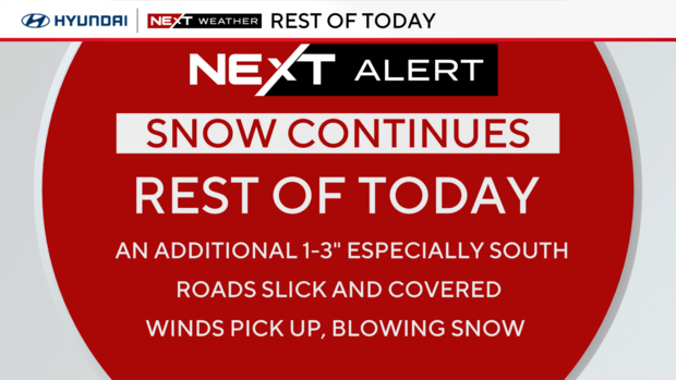
A second push of snow or snow showers will likely cross our southern zones later in the evening, around 9 p.m., leading to light accumulations.
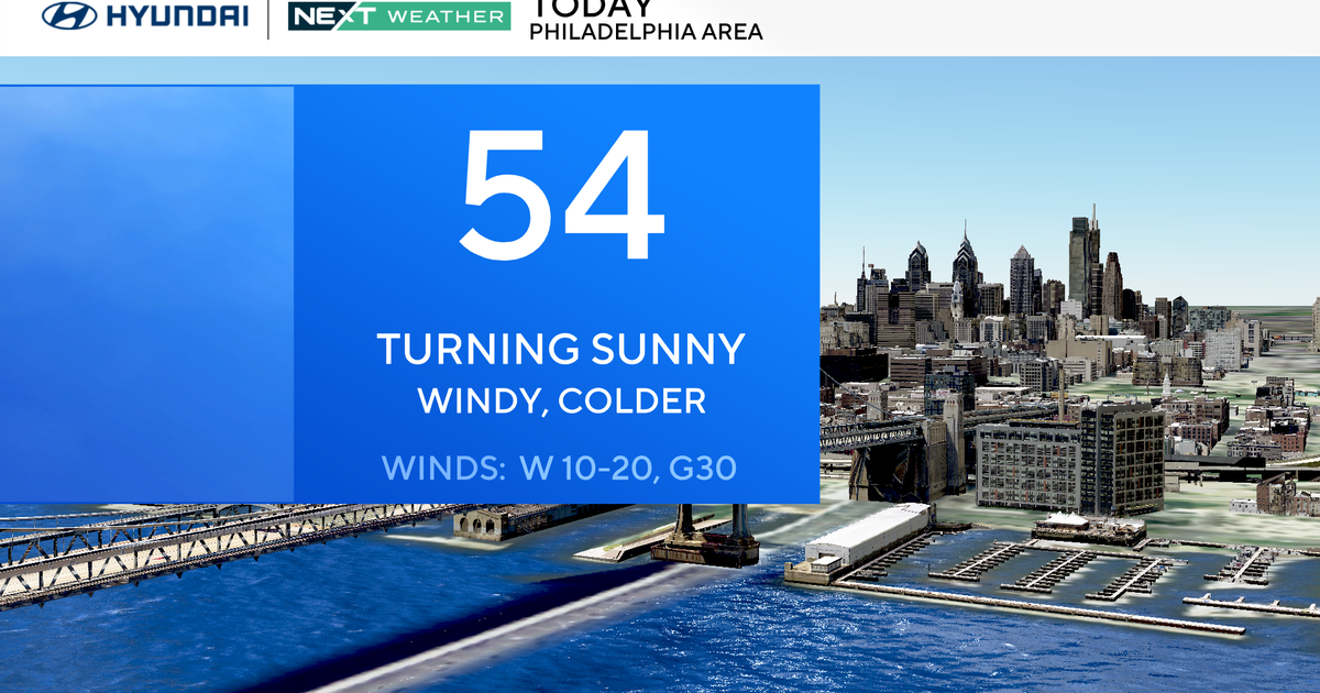
Overnight, winds will increase, and we may have gusts of 30 mph Tuesday. This will blow some of that light and fluffy snow around, limiting visibility on the area's roads. It will also feel even colder, with morning wind chills likely in the single digits.
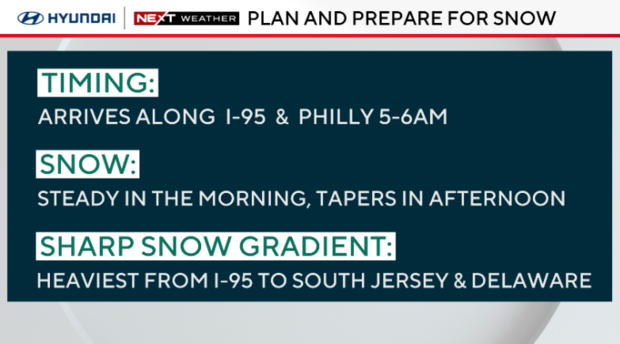
The storm behaved as expected, with the sharp snowfall accumulation gradient well represented in the snow totals.
As of this writing, Georgetown, Delaware, has received 9.5 inches of snow, and Ocean City, New Jersey, got 7.4 inches.
Dover, Delaware, got 5.6 inches, while Egg Harbor City in New Jersey saw 4 inches.
In Pennsylvania, Lower Makefield Township got 2.3 inches, while Willow Grove saw 1.5.
Alerts
Winter Storm Warning
When: Monday 1 a.m. through Tuesday 1 a.m.
Where: All of South Jersey, Delaware, Delaware and lower Chester counties in Pennsylvania.
What: Increasing snow bands of 3-5 inches, 5-7 inches and 7-9 inches or more heading from I-95 south and east.
Impacts: Snow-covered roads, treacherous to dangerous morning to noon commute, school closings, air travel and rail disruptions, plowing and shoveling.
Winter Weather Advisory
When: Monday 1 a.m. to Monday 10 p.m.
Where: Philadelphia, upper Chester, Berks, Lancaster, Montgomery, lower Bucks counties in Pennsylvania. Upper Burlington County in New Jersey.
What: Bands of snow between 2-4 inches from Reading through Montgomery County and Northeast Philly to upper Burlington County. Tapering to a trace in the Lehigh Valley.
Impacts: Snow-covered walkways and roads. Slow commutes. Possible school closings. Some shoveling and plowing.
What to expect Monday night and Tuesday
7 p.m. to 8 p.m.: Break in the snow, some ice forms
8 p.m. to midnight: Another wave of snow, up to an inch
Overnight: Drying out, clouds break, ice forms
- Everything stays frozen or re-freezes. Stairways, stoops, walkways and roads will be very slippery.
Tuesday: Snow ends, blustery and frigid conditions; feels-like temperatures will be in the teens and low 20s all day.
School and building closures
Some school districts around the region have already announced closures and delays for Tuesday. See the rolling list of schedule changes.
All Philadelphia government offices, courts and the School District of Philadelphia were closed Monday because of the weather, and archdiocesan high schools in Philadelphia followed a flexible instructional school day Monday. The parochial elementary schools were closed.
Extended forecast
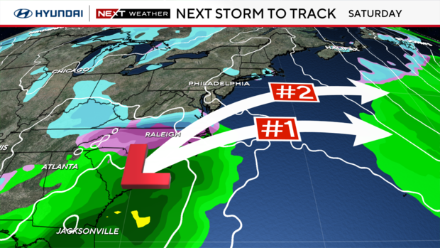
- Dry and cold Tuesday through Friday. Watching another possible storm for next weekend
- The cold pattern continues through mid-late January with 30s for daytime highs and 20s for overnight lows
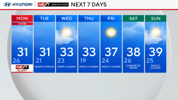
Here's your 7-day forecast
Monday: NEXT Alert for snow. High 31, Low 26.
Tuesday: Windy and frigid. High 31, Low 21.
Wednesday: Partly sunny. High 33, Low 23.
Thursday: Mostly sunny. High 33, Low 19.
Friday: Mostly sunny. High 37, Low 24.
Saturday: Chance of snow. High 38, Low 26.
Sunday: Partly cloudy. High 39, Low 25.
