Heavy rain, increasing wind gusts in Philadelphia weather forecast
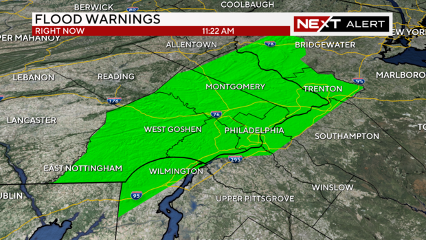
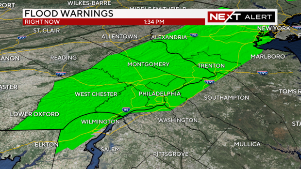
PHILADELPHIA (CBS) -- Flood warnings have been issued for several counties in southeastern Pennsylvania as heavy rain continues to fall across the region.
The impacted area includes Philadelphia, Delaware County, Chester County, Montgomery County, Bucks County, and parts of New Castle County, Delaware, and Gloucester, Camden, Burlington and Mercer counties in New Jersey.
Minor to moderate flooding possible in New Jersey, Pa., Del.: National Weather Service
Some minor flooding has been detected in the area and the National Weather Service's Water Prediction Service is now predicting minor to moderate flooding in some bays as well as some streams and creeks, particularly:
- Rancocas Creek in NJ
- Maurice River in NJ
- Delaware Bay at Reedy Point in DE
- Cape May Harbor in NJ
- Atlantic City Waterfront in NJ
- Barnegat Bay at Barnegat Light in NJ
- Chester Creek near Chester, PA|
- Neshaminy Creek in Langhorne, PA
- Assupink Creek near Trenton, NJ
We've also gotten reports of flooding in King of Prussia and on the New Jersey Turnpike.
The flooding on the turnpike is near Exit 2.
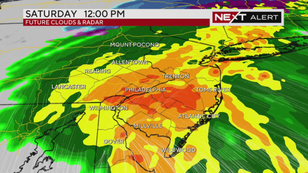
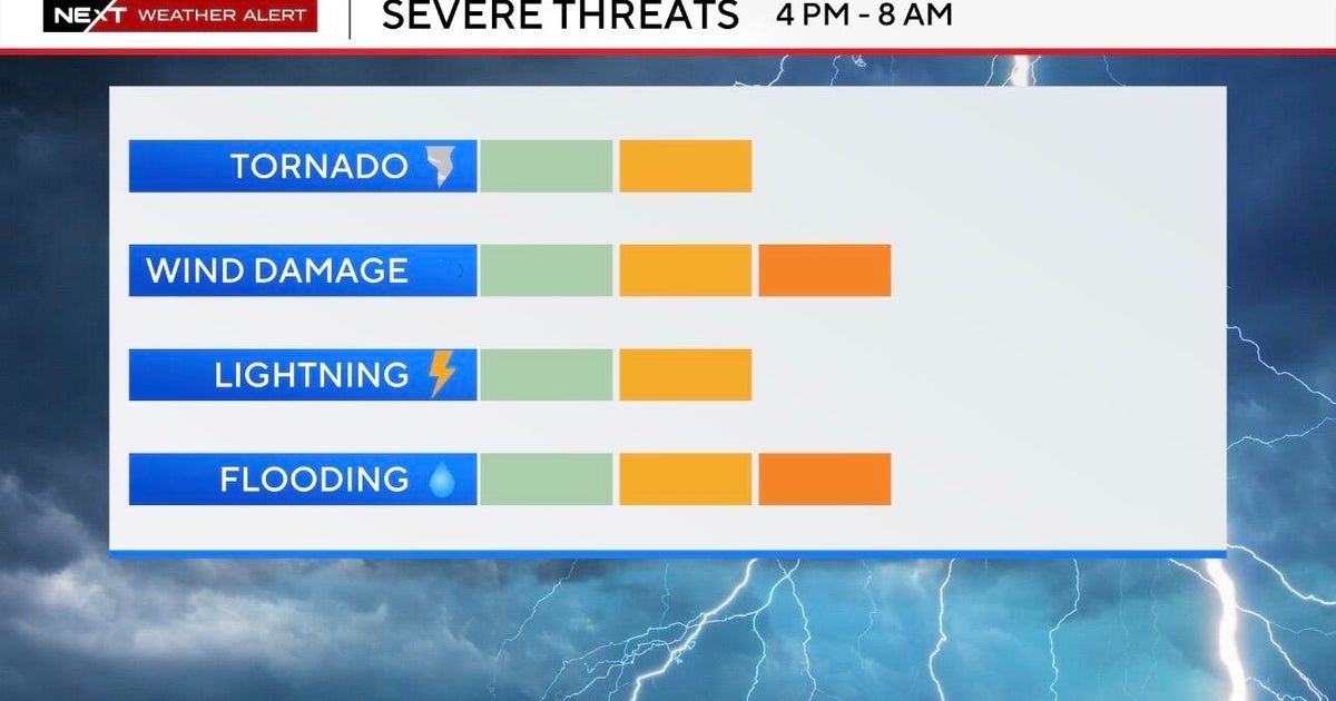
This comes after steady rain showers started in the early morning hours on Saturday and will continue to fall into the evening, presenting flooding risks. High wind gusts could also knock down tree branches and blow over loose items like outdoor furniture.
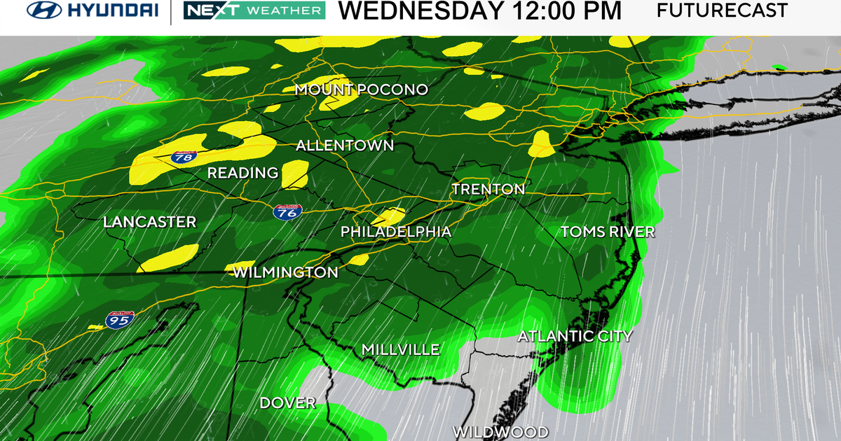
It will be raining steadily all day long, and our NEXT Weather radar shows the heaviest rain arriving Saturday afternoon. This doesn't start to taper off until around 4 p.m. or 5 p.m.
How much rain are we getting?
We have forecasted getting two to four inches of rain in some spots in the I-95 corridor - including Philadelphia; Delaware County; Wilmington, Delaware and Trenton, New Jersey.
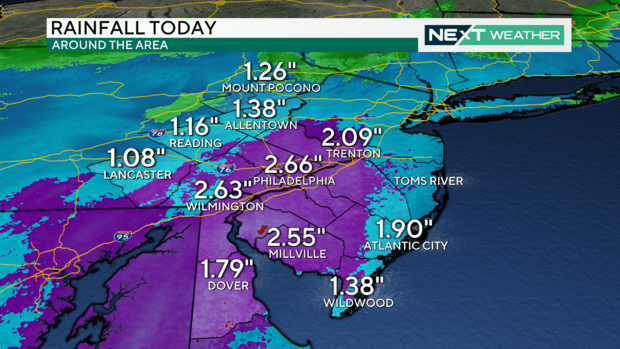
As of 2 p.m. Saturday, rainfall totals in Philadelphia exceeded 3 inches and were nearing that in Wilmington, Millville and Trenton. You can see the purple areas on this map showing where the rainfall has been heaviest:
This heavy rain has our region under a flood watch until 8 a.m. Sunday.
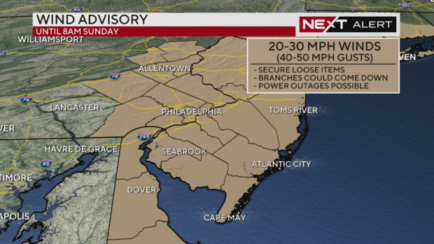
We're also under a Wind Advisory until 8 a.m. Sunday.
What are the potential impacts of this storm?
Across the Philadelphia region, we could see travel delays like at the Philadelphia International Airport. There may also be ponding on some roads that could impact travel.
Low-laying and poorly drained areas will be most susceptible to flooding. In addition to urban flooding, many local streams and creeks will rise and potentially flood as the heavy moves through.
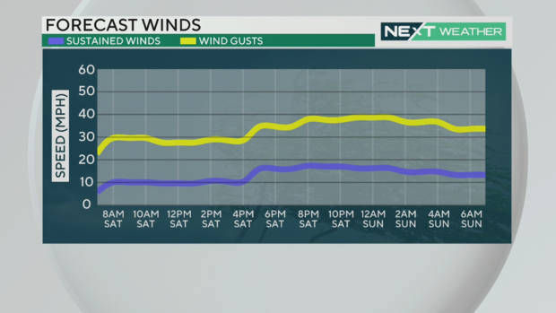
As the rain clears out the winds will increase in the wake of the departing system. Sustained winds will be between between 15-25 mph with gusts between 40-50 mph, especially through the evening and overnight hours. The saturated soil from the all-day rain combined with the gusty winds may cause some trees to topple.
The winds and any toppling trees or branches could also potentially knock out power for some residents.
What about Sunday?
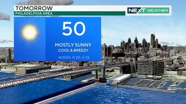
The sunshine will return on Sunday, but the winds will remain. Blustery conditions with wind speeds gusting to 35 mph will make it feel like the 20s through much of Sunday morning. Temperatures will go from near freezing to 50 degrees by Sunday afternoon, but the breezy conditions will keep the feels-like temps in the 40s.
The wind will finally begin to relax Sunday evening with temperatures making their way back into the middle 50s by Monday afternoon.
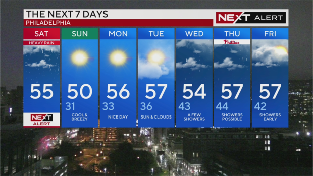
Here's your 7-day forecast:
Saturday: NEXT Weather Alert Day for steady to heavy rain, flooding risks, wind gusts that could reach 40-50 mph. High 55
Sunday: Cool & breezy. High 50, Low 31
Monday: Nice day. High 56, Low 33
Tuesday: Sun and clouds. High 57, Low 36
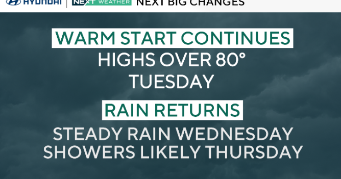
Wednesday: A few showers. High 54, Low 43
Thursday: Showers possible. High 57, Low 44
Friday: Showers early. High 57, Low 42
Get the latest weather info on the CBS News Philadelphia app.


