Philadelphia chasing record warmth that feels like late April
PHILADELPHIA (CBS) -- You may need to check the calendar before walking outside today, because it feels like late April rather than early January.
Wednesday is the 8th consecutive day we have enjoyed above-average temperatures across the Philadelphia region.
All but one of those 8 days was in the 50s and 60s. In fact, we have not seen below-average temperatures since the three-day freeze from December 24 to 26.
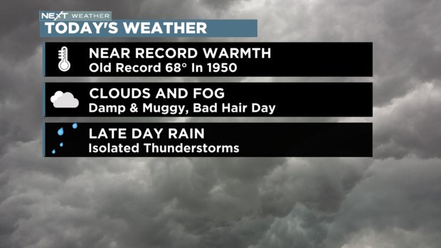
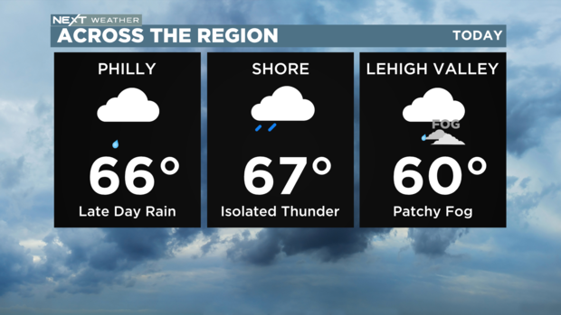
Wednesday will be the warmest of this stretch with highs in the mid and upper 60s. There may even be a stray 70-degree reading south and east of the city.
The current record high for January 4 is 69 degrees, but that record is very old. It was set 73 years ago in 1950.
There is a chance we could tie or break that record but that will depend on when rain arrives this afternoon. The longer we stay dry, the better chance we have. South winds ahead of the storm are continuing to push temperatures to the 60s before the noon hour.
So leave the coats at home but grab the umbrella.
Once the rain begins we will see showers on and off through the evening with isolated thunderstorms possible. The evening commute may be wet, so slow your roll and pack the patience.
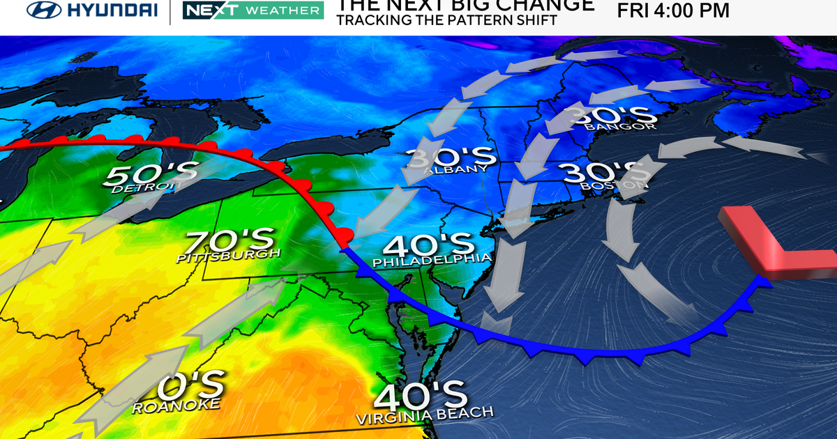
By Thursday, temperatures will begin to cool as a cold front passes the region and we drop to the 50s.
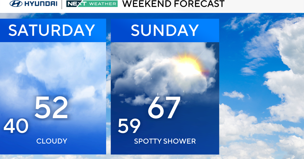
Friday we will dip to the mid and upper 40s which is still above average. Even the weekend will trend slightly above average in the low to mid-40s.
