Nor'Easter Packs A Major Punch - But Further East
By Kate Bilo
A rare and powerful November nor'easter has been impacting the eastern seaboard all day long, but if you're in the city or the western suburbs, you likely aren't that impressed with your snowfall amounts. For many, this is a good thing, especially in the wake of Sandy when many people just recently got their power restored. However, for snow lovers it feels a bit like a disappointment. This storm has been highly variable and difficult to pin down from the get-go, and our initial thoughts ended up being about 50 miles off the mark.
The storm ended up forming a bit further east than anticipated and deepening a bit slower than anticipated, which did bring some great news for the Sandy-ravaged coastline. The winds weren't as strong as initially feared, and the midday high tide didn't produce much in the way of tidal flooding, though another high tide between 2 and 3 am could cause moderate flooding.
However, once the column of air across the state of NJ rapidly cooled, the snow began to fall more heavily in that area, and banding set up. Typically with a strong nor'easter, you see bands of snow developing and it's really the location of that banding that determines the heaviest snowfall rates. Initially, we had thought that the heaviest banding would set up right over Philadelphia, and it ended up being about 50-60 miles northeast of here, across central and northern NJ, right through NYC and into southern New England. Many spots already have over half a foot of snow with more coming down.
So while the exact location may have been a bit off, this storm has performed as expected, if not better than expected, and the areas getting hit hardest tonight include some spots that were simply devastated by Sandy. Snow and rain will continue to fall through about midnight, and then will taper overnight. With lows near freezing, watch for some slick spots on area roads but the wind should help things dry out tonight so I don't think we'll be seeing widespread icing on major roadways tomorrow morning.
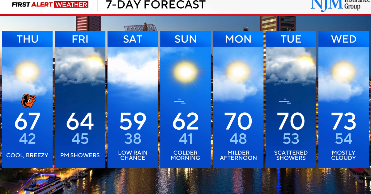
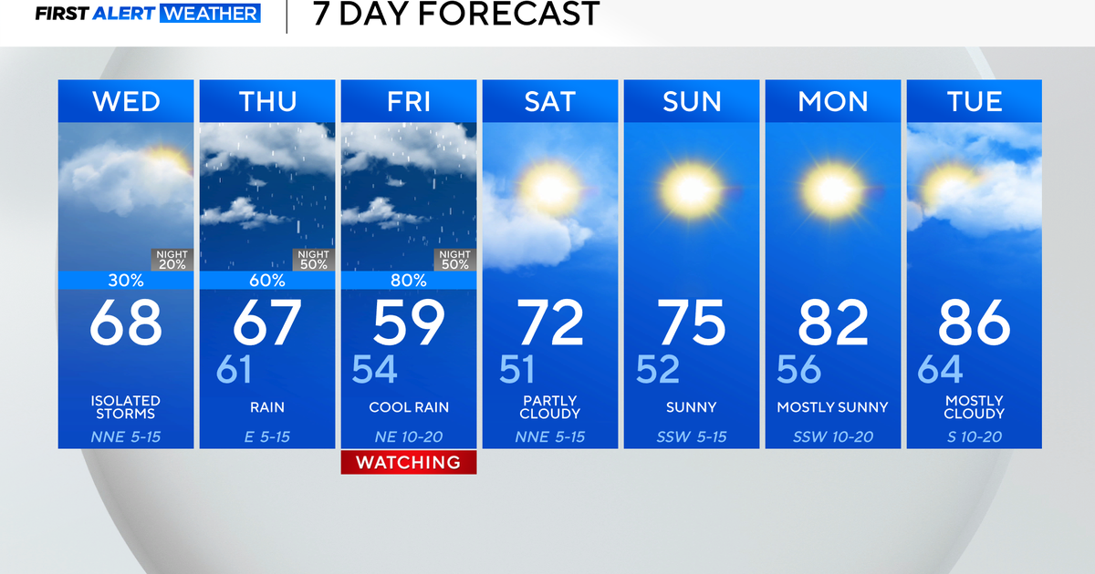
The best news of all? Starting Friday and continuing through the weekend, we'll enjoy a mild, sunny weather pattern - just what this area needs in the wake of Sandy, a cold spell, and a nor'easter.
