Nor'easter Eyeing The East Coast
By Carol Erickson
A coastal low (okay, a Nor'easter) looks to be eyeing the East Coast, and it's packing a variety of weather conditions.
First, what we know now (which is subject to change several times before the Friday event as more computer models study the elements of this storm): The storm should start late Thursday night or in the early morning hours on Friday, with a wintery mix through Philadelphia and south, and snow north of that. As daylight arrives on Friday and temperatures begin their climb above freezing, any mix changes to rain. The winds will pick up as well, gusting up to 55 mph, and minor to moderate coastal flooding is possible along the NJ and Delaware shore. Winds inland could be in the 40 mph range.
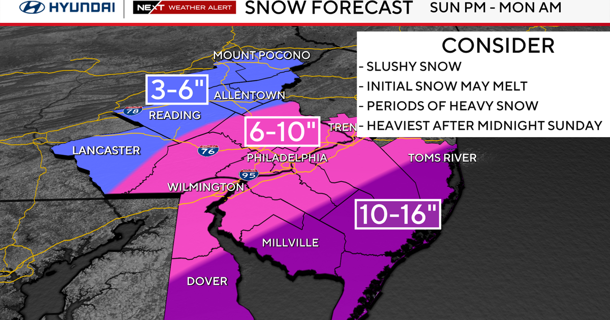
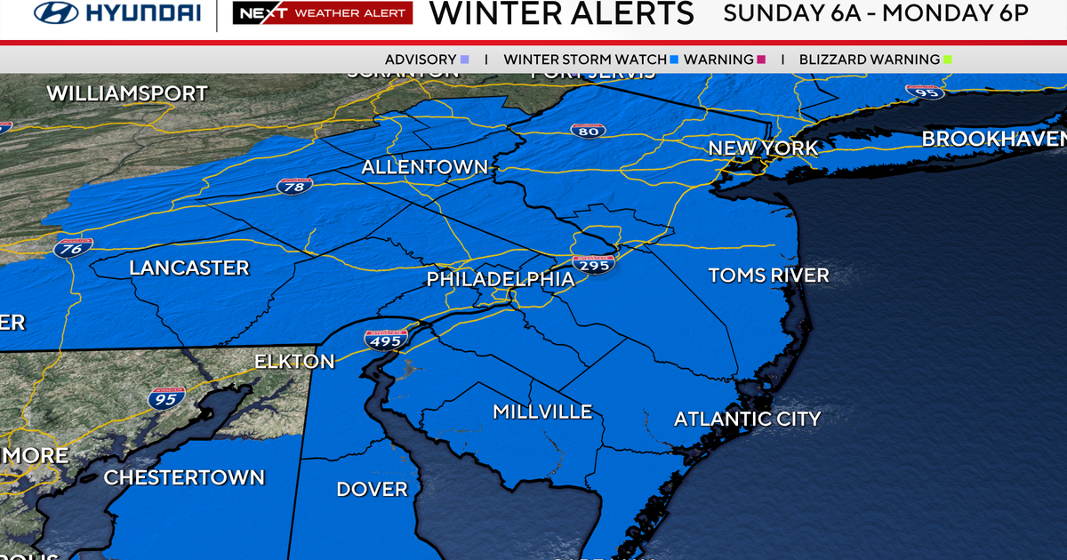
The National Weather Service has issued a Winter Storm Watch for areas north and east of Philadelphia for Friday afternoon through Saturday morning for 5 to 10 inches of snow. Areas under the watch now include Mercer and Monmouth Counties in New Jersey and NJ points north. In Pennsylvania, Northampton Co. and the Poconos and areas north of that are likely to be hit with a lot of snow.
As this storm evolves, colder air will be drawn into the system, which means a changeover from rain to snow even in Philadelphia and adjacent areas to the south late Friday and early on Saturday. At this time -- and subject to change -- amounts in Philadelphia look to range between 1 and 3 inches. Again, this is subject to change! We're keeping our eye on the storm and will immediately pass on any changes, updates and major or minor modifications.
