NEXT Weather: Line of showers could produce wind gusts, hail

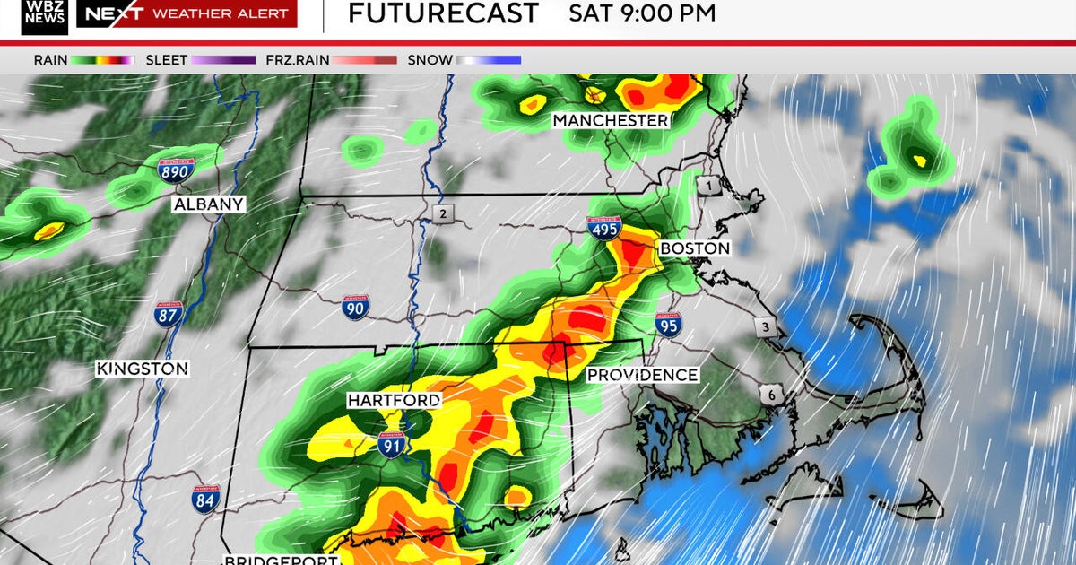
PHILADELPHIA (CBS) -- Tuesday afternoon, gusty showers and possible thundershowers could move into the region.
Any one of the storms we're tracking could produce damaging winds and even small hail -- be warned if you're planning on traveling between the hours of about 1 p.m. and 4 p.m. Tuesday.
As storms move through, the winds will become strong.
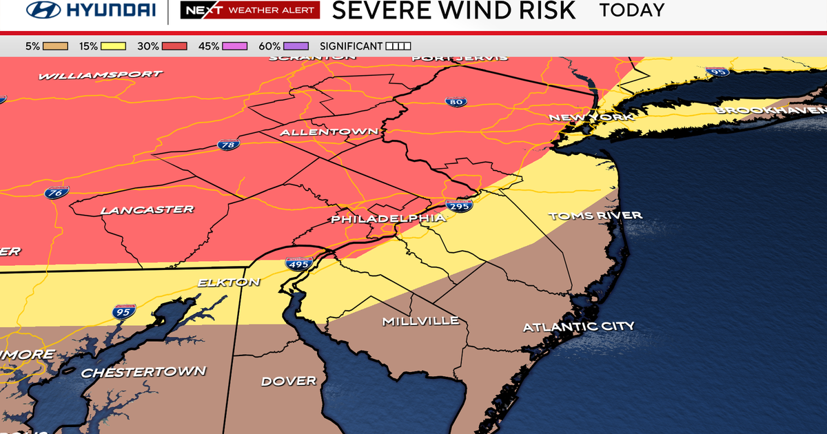
We have a marginal risk for severe weather all across the area and the biggest threat is localized wind gusts up to 50 mph, as well as small hail or graupel, the soft snow pellets we sometimes see when there's cold air in the upper atmosphere.
Around 2 p.m., storms north of the city could bring scattered strong wind gusts.
Once the storms have moved through by around 5 p.m., wind gusts higher than 30 mph are possible across the region.
Showers that come in may develop into thundershowers.