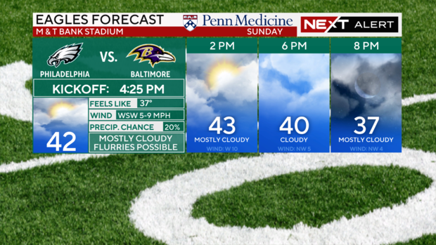
Wind chills keep feels-like temps in the 20s Sunday in Philadelphia, cold air sticks around this week
Welcome to meteorological winter, which began today and runs through February. The winter solstice, better known as astronomical winter, begins on Dec. 21 4:19 a.m. here in Philadelphia.
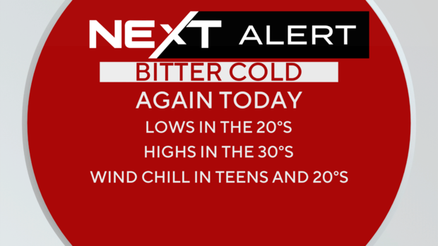
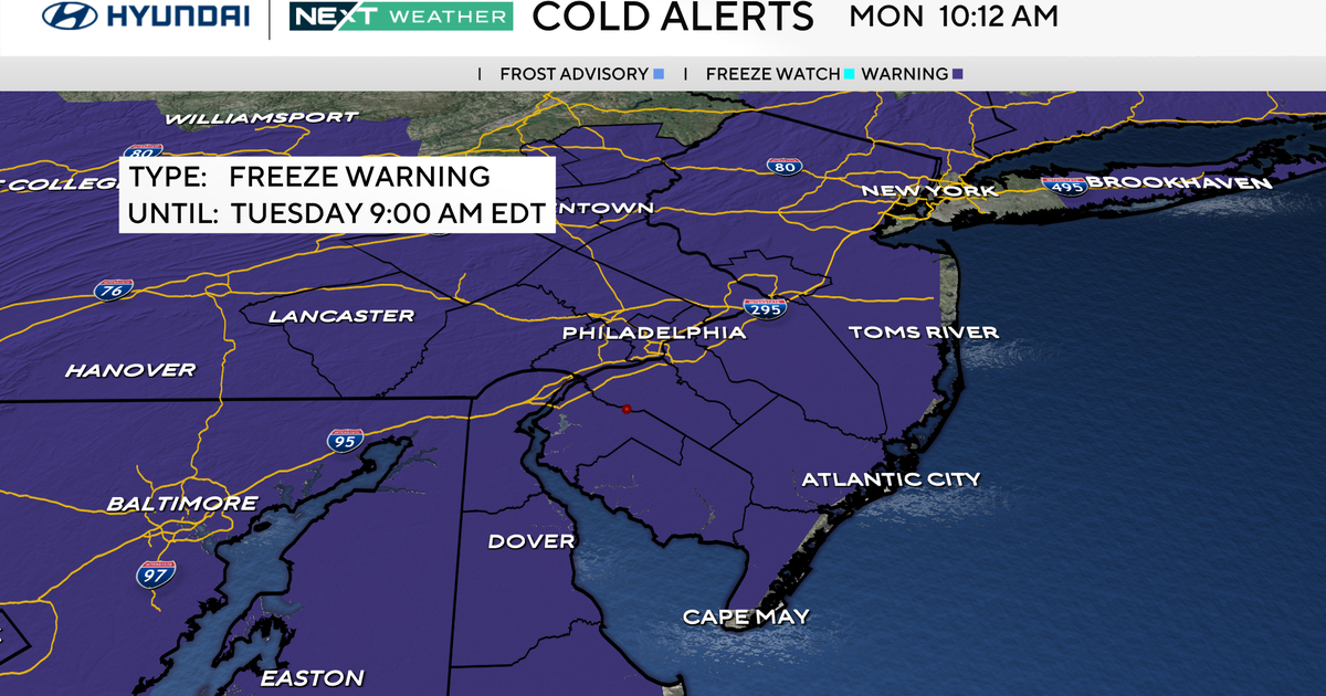
Because of this first taste of bitter cold, a NEXT Weather Alert continues today with temperatures only in the mid to upper 30s. That's well below the average high of 50 for Dec. 1 in Philly. The wind chills will hover in the 20s all day and night.
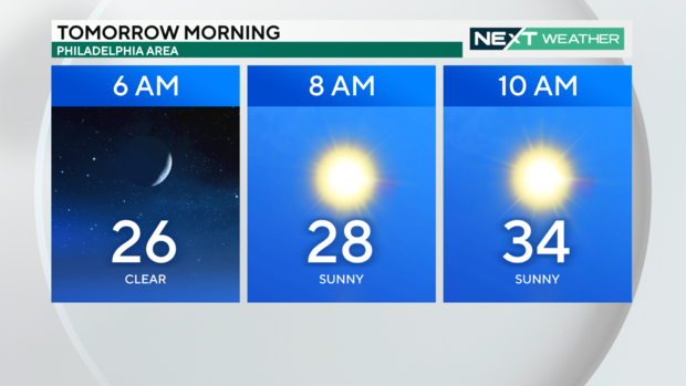
Make sure you and the kids are bundled up with all the winter gear Monday morning. You will wake up to the low and mid 20s with wind chills in the teens. Be sure to make special preparations for any pets with a warm place to stay and fresh water that can't freeze over. Even with their warm fur they are not used to this cold either.
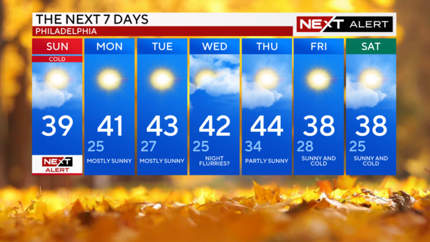
The Arctic blast will stick around through the week ahead as another lobe of even colder air arrives from Canada. Each day will top out in the low 40s or upper 30s. The warmest day of the next seven is on Thursday with highs in the mid 40s. Nights this week will be in the 20s and wind chills each day will be in the 20s.
By next weekend, an even colder air mass arrives, and we dip back to highs in the mid and upper 30s.
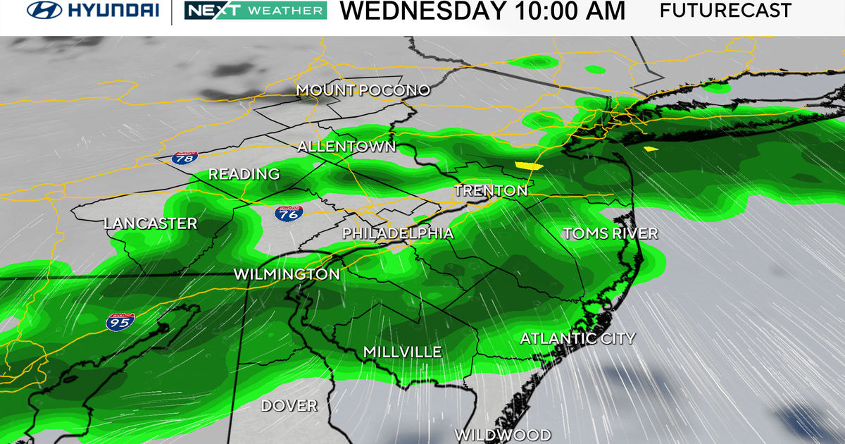
This would be the perfect week for snow, but alas the pattern will be mainly dry and sunny with only a chance of snow showers late Wednesday and Thursday morning as a weak system passes overhead.
At this point we expect little or no accumulation. The one place with feet of snow is near the Great Lakes. The lake effect snow machine is in high gear with snow bands dumping heavy snow on the east and southeast side of the lakes. If you are traveling that way, be prepared for slow travel and snow packed roads.
Stay with us here, the NEXT Weather Team will keep you updated on any changes ahead.
Here's your 7-day forecast:
Sunday: NEXT Weather Alert, cold, high of 39.
Monday: Mostly sunny, high of 41, low of 25.
Tuesday: Mostly sunny, high of 43, low of 27.
Wednesday: Chance for night flurries, high of 42, low of 25.
Thursday: Warmest of week, high of 44, low of 34.
Friday: Sunny and cold, high of 38, low of 28.
Saturday: Sunny and cold, high of 38, low of 25.
