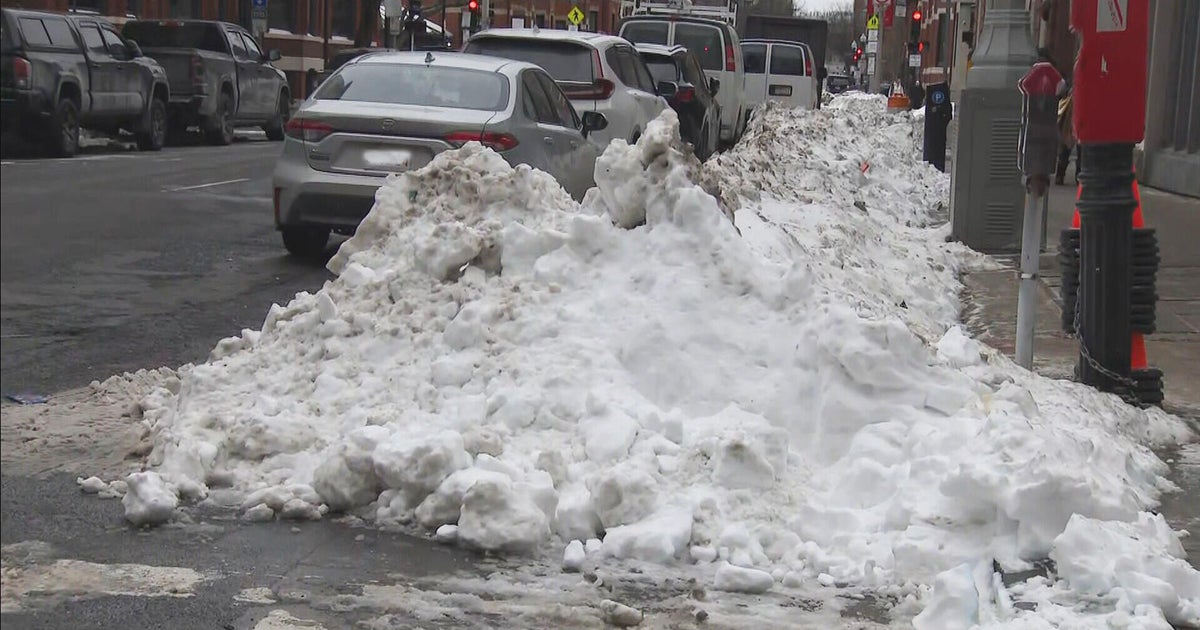
Multiple Snow Chances Later This Week
Follow CBSPHILLY Facebook | Twitter
PHILADELPHIA (CBS) - Over the weekend snow made its first appearance of 2019, with places across South Jersey and Delaware that topped five inches or more in a couple of spots.
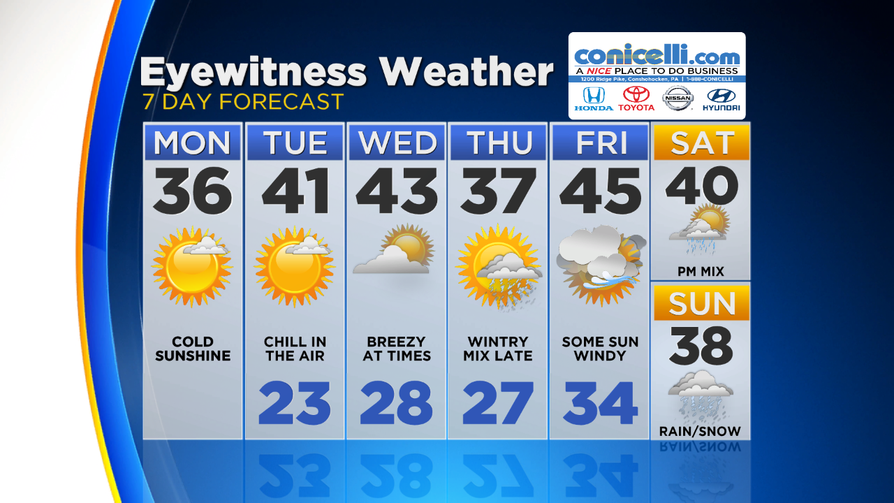
A quick break in the wintry weather is looking to be in the works for the start of this week, but get ready because the winter storm conveyor belt kicks into high gear starting on Thursday and lasting through the coming weekend.
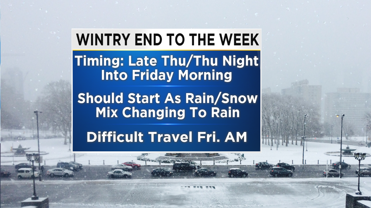
The first of two low pressure systems will move into the region starting on Thursday night. This system will also be the weaker of the 2 lows that are going to slide through the Delaware Valley. Expect a mainly quiet daytime on Thursday with precipitation moving starting in the evening and then last through the overnight hours and into early Friday.
At the onset of the storm, we should watch for a mix of rain and snow across most the area with a change over to all rain in many from Philly and south/east heading into Friday morning. Areas north and west of the city are more likely to see the rain/snow mix persist through the night and into Friday morning. Either way watch for tricky travel conditions on Friday morning when driving to school and work. When it comes to snow amounts it is still a bit too early to nail anything down but in general it should be light on the snow accumulation as of Monday morning.
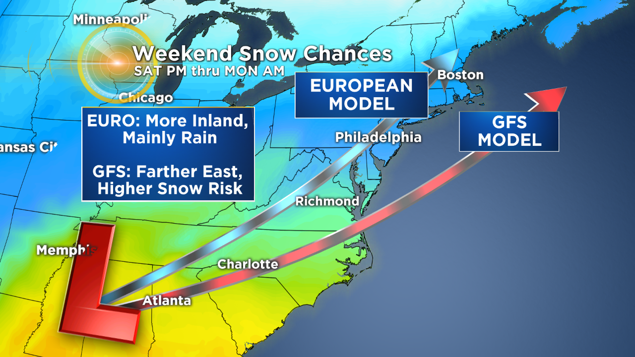
The stronger of the 2 storm systems is the one that will move across the area over the coming weekend. The weekend system is also a bit more unsettled when it comes to the track of the low, meaning that precipitation type at this point is very much up in the air. What can be expected though is a potent system on Saturday night into Sunday with wintry mix likely throughout the time period. As stated the biggest factor right with this system will be the track of the low. The 2 main models, the GFS and Euro, are disconnected right now on how this will play out.
The GFS brings the center of the low farther off the coast, allowing for colder air to take over the region for basically the whole time, meaning that snow is the better bet with the GFS solution. However the Euro takes the center of the low almost directly over Philly allowing for much ,milder air ti filter in and while there could be some wintry mix at the onset of the system on Saturday night, by Sunday we are looking at a purely rain event. So as we talked about a lot still needs to come together to get a clearer picture for the weekend. The areas where there is already decent agreement though is that fact this is likely to be a Saturday night into Sunday type of event and whether it is snow, wintry mix or rain, there should be plenty of moisture associated with the low meaning that no matter what we are looking for a lot of precipitation. Make sure to stay tuned as we continue to monitor this situation.
Have a great week everyone!
