Midweek Nor'easter Brings Wind, Rain, Snow?
By Kathy Orr
The last two runs of the American Model (GFS) are shifting the track of the developing Nor'easter further east.
The European model, which has been fairly consistent in predicting this storm right along the coast since late last week, today shifted the track a little further east. If the Tuesday morning runs of the European and the GFS (American Model) continue this trend, that would be great news for our area! And gives us more confidence with this change.
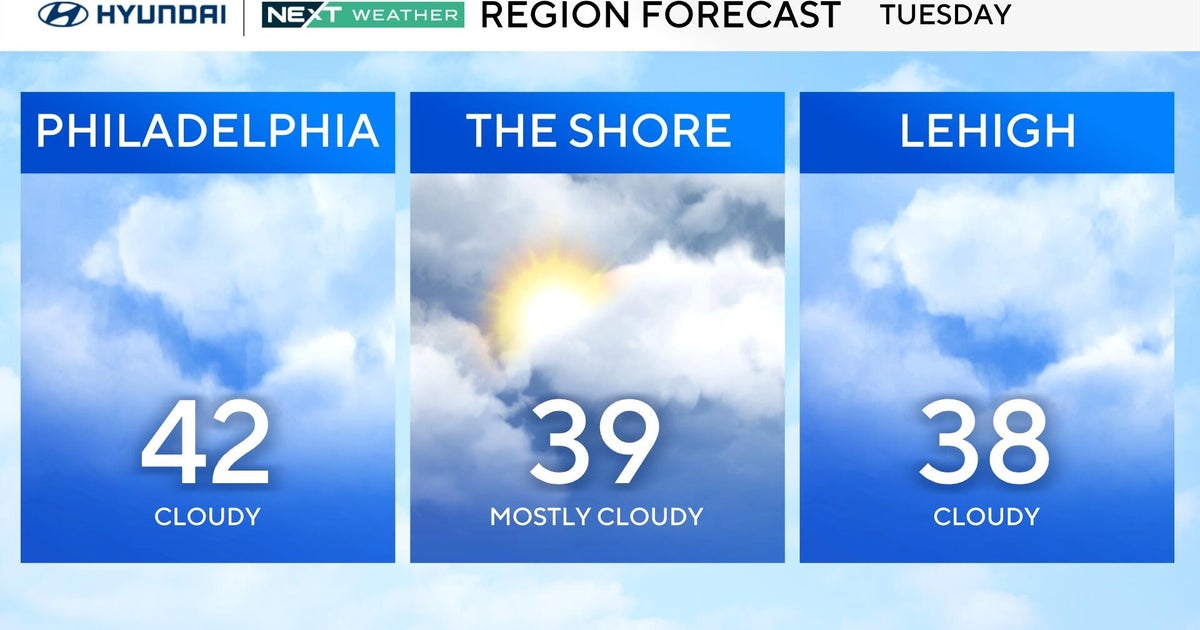
A track further east would bring cold air in around the back edge of the storm Wednesday evening, however there would not be a lot of moisture to produce snow. The precipitation amounts from the latest GFS Model are near zero in the Lehigh Valley and less than a 1/2" in the Philadelphia area.
Boundary layer temperatures in the city of Philadelphia at this time are borderline - mid 30's - and temperatures at 850 millibars are just slightly below freezing. This implies a high degree of uncertainty - will it stay a cold rain? Will it mix with some wet snowflakes?
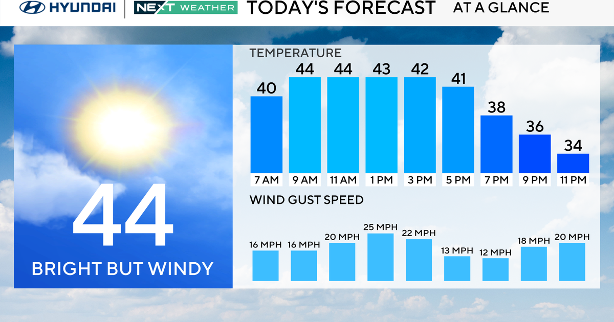
Even if the track shifts east, the shore will still be affected. The main impacts at the shore will be felt on Wednesday with the potential rain, gusty winds, tidal flooding, and possible additional power outages. Of course, in the wake of Sandy, the impacts will be felt even more - there is the risk for re-flooding, increased beach erosion, and further wind damage as the gale-force winds pound the already weakened structures. As far as flooding goes, the high tides of concern are early Wednesday afternoon around 1-2pm and again early Thursday morning around 2-3am. A High Wind Watch and a Coastal Flood Watch have already been posted for the area.
As always, we will continue to monitor this storm as it moves offshore and strengthens, and bring you the latest updates and information.
