Large Storm Will Bring Rain And Wind
By Steve Strouss
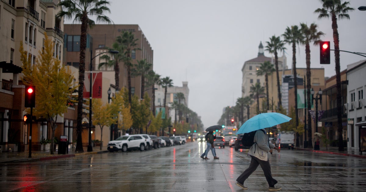
A powerful storm system is spinning our way tonight. The storm is already responsible for bringing blizzard conditions across the northern Plains and severe weather to the south, but for us it will just be a windswept rain through the overnight hours.
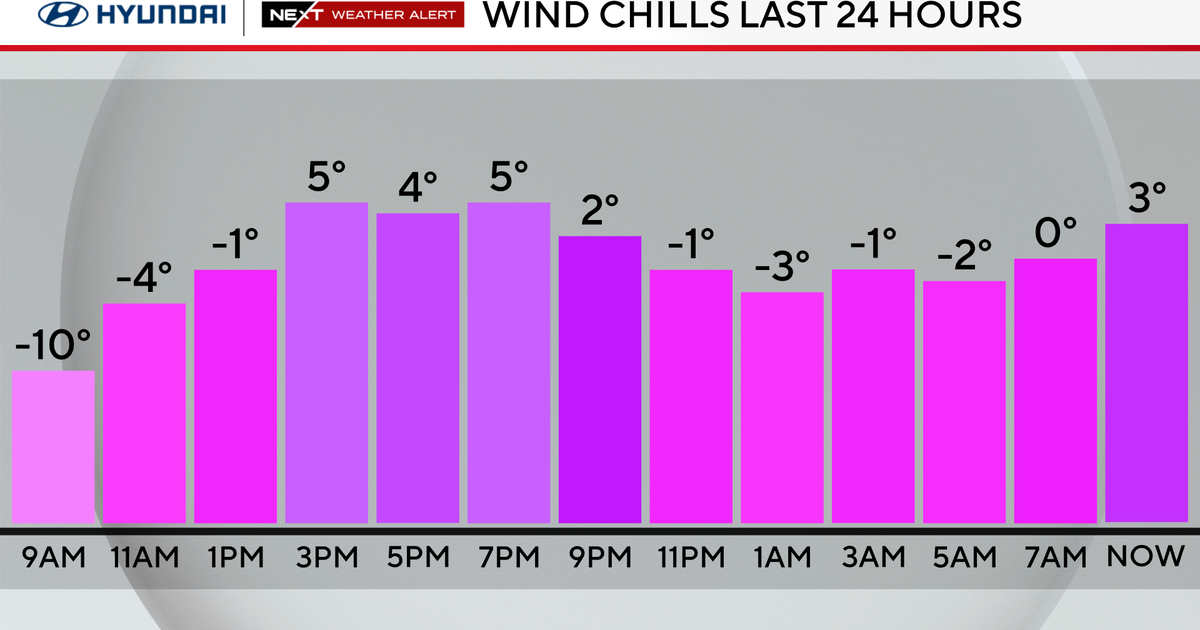
The large storm is heading out of the Midwest and rain is expected to be heavy at times before tapering off by 8am Friday morning. Rain amounts in the area will total around an inch, with locally higher amounts and flooding is not expected. Meanwhile, gusty winds will accompany the rain and could gusts to 45 mph at times. This may knock down some tree branches and bring down a few holiday decorations but widespread wind damage is not forecasted. Once the front passes Friday morning, temperatures will plummet and wind chills will be in the 20s by Friday night. There may even be a few flurries.
The cold, blustery conditions will last through the weekend and then all eyes turn to the Christmas forecast. If you are wishing for a white Christmas, you might want to wish a little harder. A few days ago it looked completely dry but now some models are suggesting a weak system passing by Tuesday morning which could trigger a few snow flurries or sprinkles depending on where you live. If you want a guaranteed white Christmas, head to Des Moines, Iowa or Madison, WI where over a foot of the white stuff is now on the ground.
Perhaps this storm is a harbinger of things to come as we begin a new season tomorrow. Winter officially arrives Friday at 6:12am. Friday will also be the shortest day of the year with just 9 hours and 20 min of daylight in Philadelphia.
The next potent storm will come next Wednesday and we will be watching it closely. As of now, it looks like a similar event with rain and wind but there could also be some snow as it pulls away so we will continue to track it and keep you updated. Until then Happy Holidays!!


