Hurricane Sandy Still Holding Strong, Getting Closer
By Kathy Orr
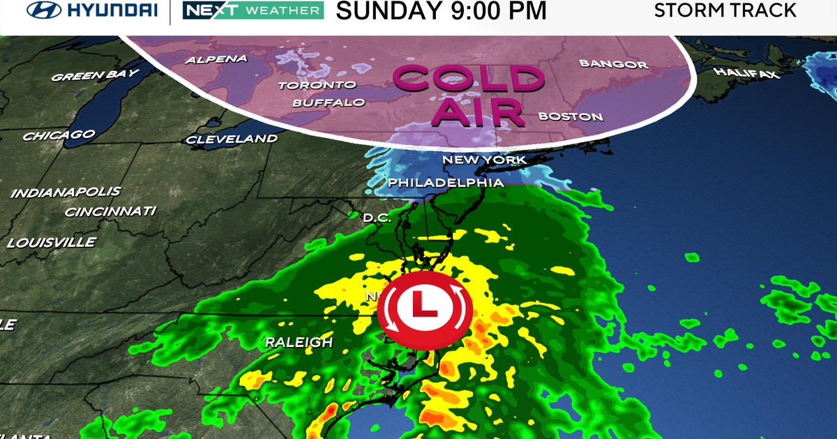
PHILADELPHIA (CBS) -- Sunday evening, Hurricane Sandy is located almost 300 miles off the North Carolina coast with 75 mph winds. It continues to move northeast at 15 mph.
Sandy's outer rain bands have arrived and will increase in intensity on Monday. Sandy is still expected to turn northwest on Monday, as an upper level disturbance from the Midwest captures the storm and guides it into the New Jersey Coast.
The storm is expected to make landfall along the New Jersey coast late Monday night. The official National Hurricane Center track has a landfall around Atlantic City, New Jersey.
There is time for some variation in the track of the storm, however, the results will be the same.
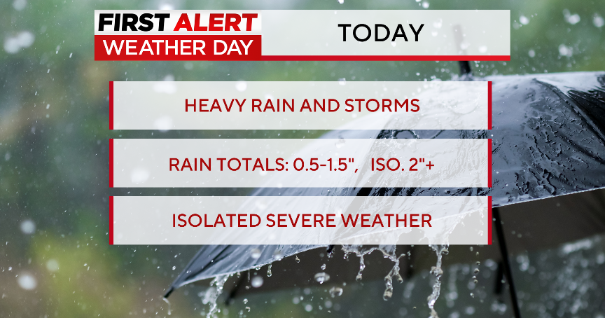
We expect 5-10 inches of rain with highest amounts in South Jersey and Delaware. Wind gusts over 60 mph late Monday, along with coastal and inland flooding and power outages are expected.
As wave heights increase with the storm, there are two astronomical high tides on Monday (8am and 8pm), which will cause major beach erosion, major flooding and property damage down the shore.


