Hurricane Sandy Likely To Make Landfall As Category 1 Storm
By Kathy Orr
PHILADELPHIA (CBS) -- Sandy is hitting the Bahamas as a Category 1 Hurricane with 90 m.p.h. winds. The majority of the hurricane models are in agreement that the storm moves back toward the east coast and makes landfall along or close to the Jersey Shore as a Category 1 storm, the National Hurricane Center agrees with its latest update.
There is still time for some change in the track, though. I say this as the National Hurricane Center's storm track has trended slightly southward since Thursday afternoon, so a landfall in Delaware, Maryland or Virginia are still possible.
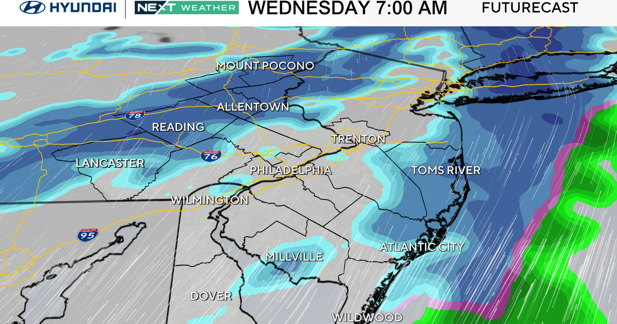
Right now, the main threat to our area is torrential rain (6-8+ inches), flooding, hurricane force winds (at the shore), hurricane gusts inland, and power outages.
READ: Hurricane Sandy Forces East Coast To Brace For Hit
If this storm hits the Jersey Shore straight on, perpendicularly, it would be a first, historic. Some residents would lose power for weeks, maybe a month.
This being said, we are still three days out and as of midnight the new American Model, the GFS, is coming in, suggesting the storm stays offshore and only brings 2-3" of rain. Quite a switch, so I'm not biting on that. As a Meteorologist we look for consistency, so I will be up waiting for the European model to come in and see what the next two runs of the GFS look like.

