When will Philadelphia area feel remnants of Hurricane Ian?
PHILADELPHIA (CBS) -- Hurricane Ian made landfall Wednesday at 3:05 p.m. near Cayo Costa, Florida, as Category 4 storm. CBS Philadelphia has issued a NEXT weather alert day for the Philadelphia region for Saturday as Ian's remnant rains move through.
At landfall, Ian was a strong Category 4 storm with sustained winds of 150 mph. Winds reached 155 mph in the Gulf of Mexico early Wednesday, making the storm just shy of Category 5.
Devastating impacts are being felt along the west coast of Florida, where the storm surge likely reached upwards of 16 feets in spots.
Ian has since been downgraded to a tropical storm.
Several cities in Florida reported wind gusts over 120 mph and there have been reports of trees uprooted and roofs blown off of homes.
Upwards of 15 inches of rain could fall by the time the storm moves across central Florida on Thursday, with tropical storm force winds being felt even along the state's east coast.
Ian will likely be the costliest hurricane in Florida's history.
The hurricane's path will loop it back inland by the weekend at which point it will run into a large Canadian high to the north, which may split the storm into two distinct pieces.
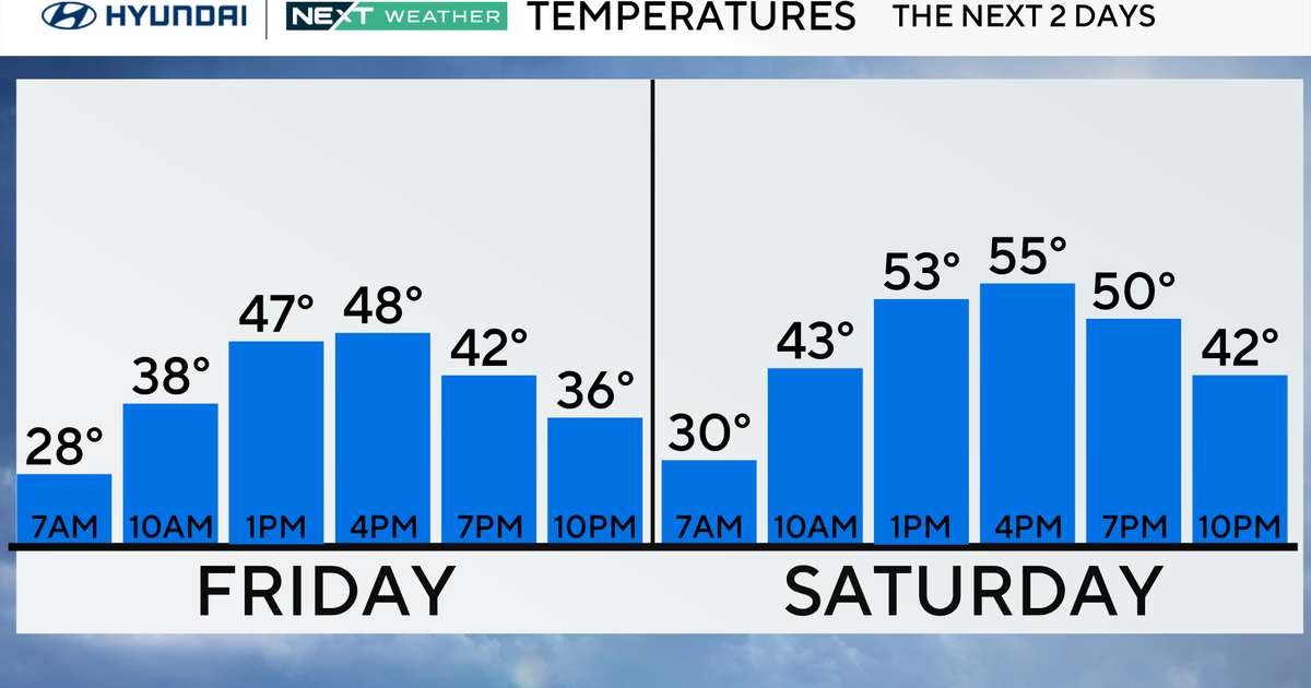
The Delaware Valley will start to feel impacts from Ian's remnants low as early as Friday, which will turn out cloudy with showers arriving late in areas south of the city.
It appears as of now that the heaviest rain will arrive in our area early Saturday, with heavy downpours likely. Two to four inches of rain is possible in Delaware and South Jersey, with one to two inches possible further north.
Localized flooding is also possible, especially to the south of Philadelphia and will have to be monitored closely.
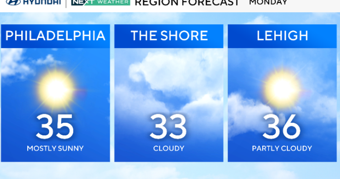
Showers will likely linger through Sunday and Monday and highs will stay cool, barely in the 60s.
If you would like to donate to the Red Cross' relief efforts, click here.


