Snow showers hit Philadelphia region Friday evening. Here's the weather forecast.
Friday's storm was not a big snow-making event, but rather a quick-mover and certainly an impact-maker. By the time we reach 8-9 p.m., the snowy weather will pretty much be gone.
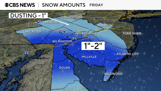
Snow accumulations look to be relatively light north of the Philadelphia area, but some spots from Philly south could get up to a slushy 2 inches.
The flakes started flying just before 5 p.m. Friday in Turnersville, New Jersey. It stuck mostly to untreated surfaces. Plows were seen on nearby roadways as traffic moved rather smoothly throughout the evening commute.
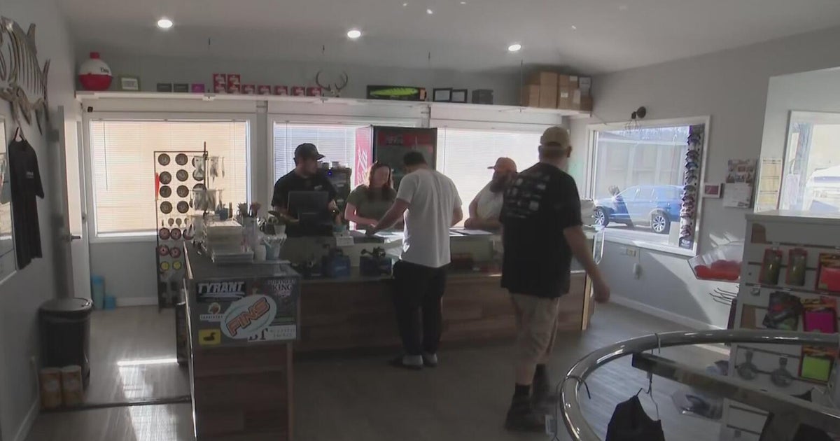
At Ace Hardware of Turnersville, business was steady as customers came in for ice melt, salt and shovels. Fire logs, the store manager said, are also a big seller right now.
The team is hoping Mother Nature delivers in the snow department since it'll be good for business.
"We always hope for snow. Snow is great especially when we have snow throwers in stock. We want to sell them," John Michael Mulak, Manager of Ace Hardware of Turnersville, said.
The snow will move out by Friday night as colder air settles into the region this weekend. Highs Saturday and Sunday will be in the low 30s, with lows in the low-middle 20s.
How much will it snow on Monday? Totals and forecast for Philadelphia
Friday was the first of a one-two-punch of winter weather.
Another storm system will be developing out of the Plains and tracking east through the day on Sunday. This storm system will move into the cold air that will be in place over the weekend and offer up the chance for more snow in the region.
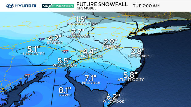
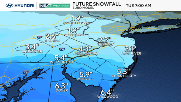
The question at this point will be the exact track of the low and how far south it goes. Models are still shifting, but it does look like at least part of our area — and possibly the entire Philadelphia region of Pennsylvania, New Jersey and Delaware — has a good chance for the first significant snow event of the winter.
It's time to start preparing for the possibility of school closures and delays, travel issues for all means of transportation and the likelihood of needing to fire up that snow blower and/or get the shovels ready. The storm has the potential to drop two inches of snow on a widespread area and, depending on its track, could produce 3 to 6 inches of snow in parts of the region.
After that, we dive into an extremely cold pattern, likely staying below freezing for a stretch of four to seven days, meaning very little of the snow that falls will be melting any time soon.
The NEXT Weather Team will continue to monitor this system and continue to bring you the latest, keeping you prepared and protected for the Monday commute.
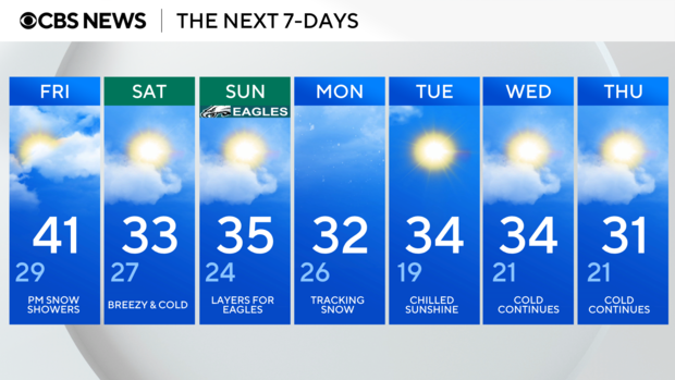
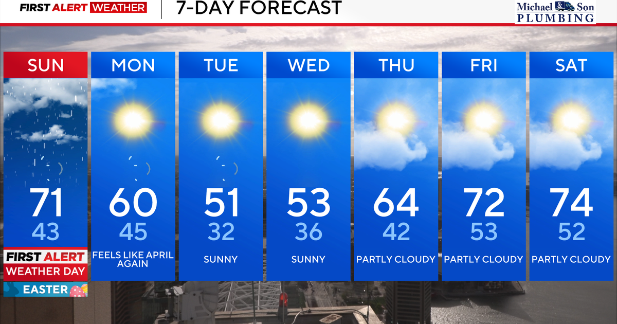
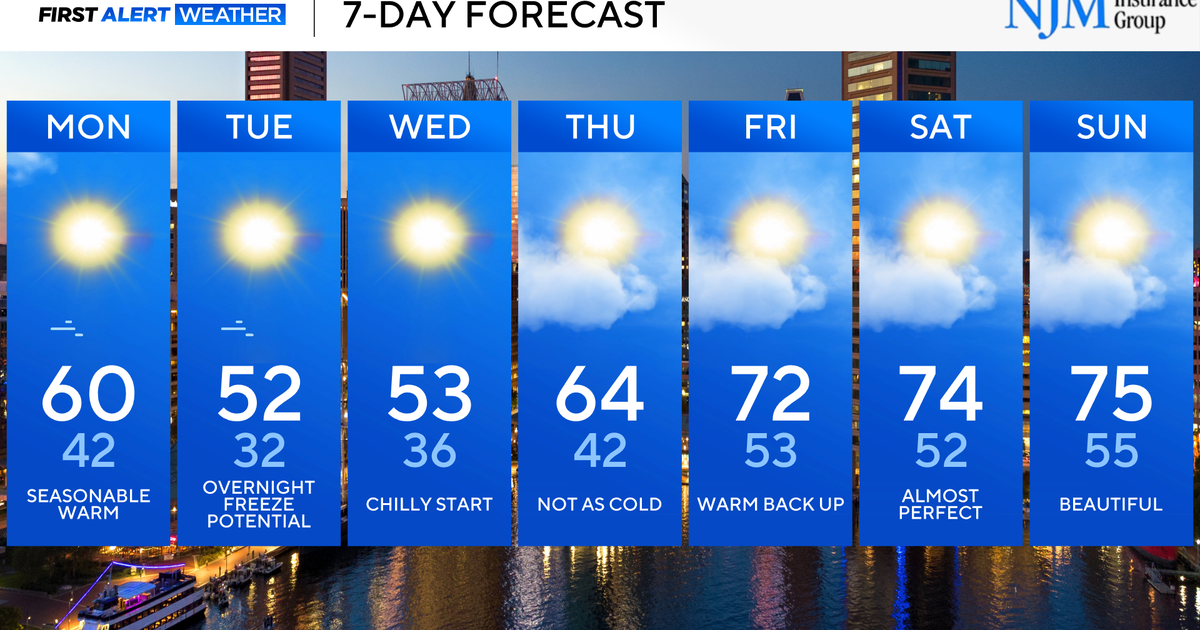
Here's your 7-day forecast:
Friday: Late afternoon/evening snow showers. High 41, Low 29.
Saturday: Breezy and cold. High 33, Low 27.
Sunday: Layers for Eagles. High 35, Low 24.
Monday: Tracking snow. High 32, Low 26.
Tuesday: Chilled sunshine. High 34, Low 19.
Wednesday: Cold continues. High 34, Low 21.
Thursday: Cold continues. High 31, Low 21.
