Heaviest Precipitation Arrives Overnight
By Justin Drabick
PHILADELPHIA (CBS) -- The first round of a two part storm system arrived into the Delaware Valley late Sunday night.
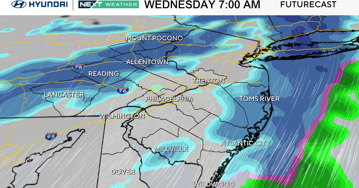
The very cold arctic air will continue to push in from the north overnight as the 2nd round of heavier moisture moves in. Expect any areas of rain to changeover to all snow from north to south, even at the coast, as temperatures drop through the 20s. The heaviest snow is expected to fall through mid morning Monday, before tapering off late Monday. Expect a slow morning commute with snow covered roads and lower visibility.
Winter storm warnings remain in effect for Philadelphia and surrounding suburbs down to the NJ & DE coast until Monday afternoon. Winter weather advisories remain in effect for the northern suburbs through the Lehigh Valley until late Monday morning.
The axis of heaviest moisture has trended southward across southern NJ & DE where the most snow is expected of 6-10" Expect 3-6" from around Philadelphia into the northern suburbs and 1-3" for the Lehigh Valley and Poconos.
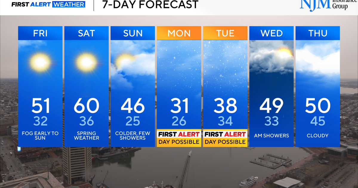
It is going to be close, but 6 more inches of snow in Philadelphia will tie this season for the 2nd snowiest season on record. Behind the storm, very cold arctic air stays in place in through the middle of the week with temperatures well below average. Highs will be in the 20s and 30s with lows in the single digits and teens.
