Getting Cooler This Week With Rain And Storms
By Justin Drabick
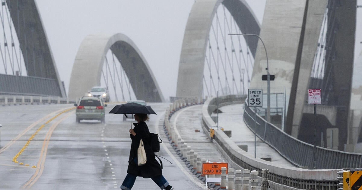
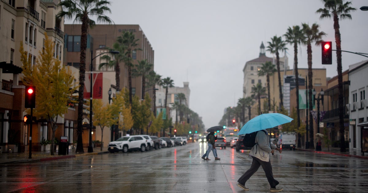
PHILADELPHIA (CBS) -- A storm system currently situated over the Midwest will impact the region with rain and thunderstorms on Tuesday. It has been a while since the Delaware Valley has seen a lot of rain. So far this month, only .78" of rain has fallen in Philadelphia. This is well below the normal value to date of 1.53". There is potential to pick up over 1" of rain with this next storm system. The last time Philadelphia has received more than 1" of rain was on July 27th, so the ground is very dry.
Flash flood guidance also remains very high to it would take 3" in 1 hour and 4-5" in six hours to produce flooding. However, it is still possible for some localized urban flooding in any thunderstorms.
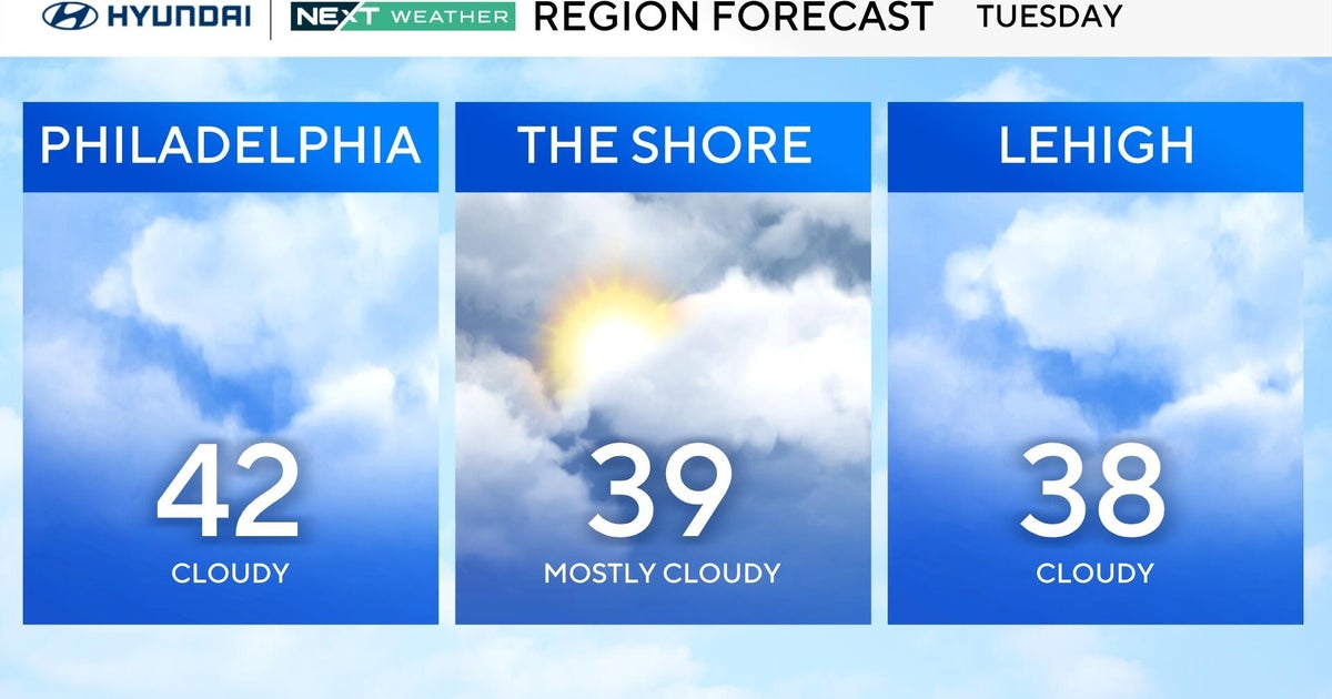
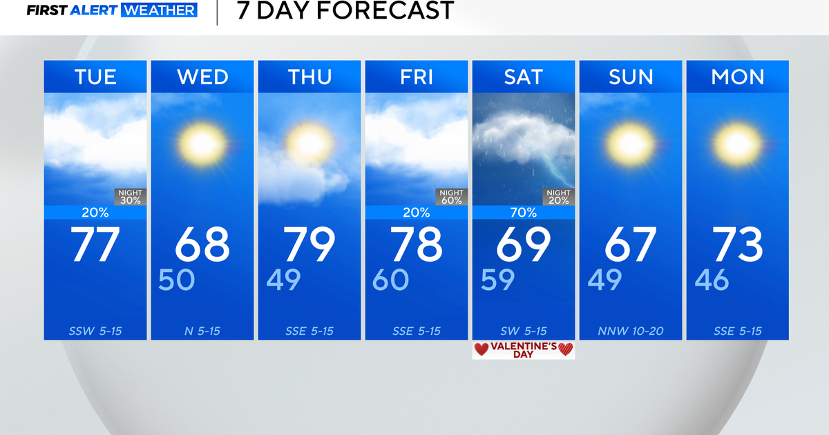
Expect some showers to arrive Tuesday morning with the best chance for rain in the afternoon and at night. There is also the potential for some stronger thunderstorms with gusty wind and heavy rain during the afternoon and evening. Highs on Tuesday will be much cooler in the 70s but humidity levels will be high.
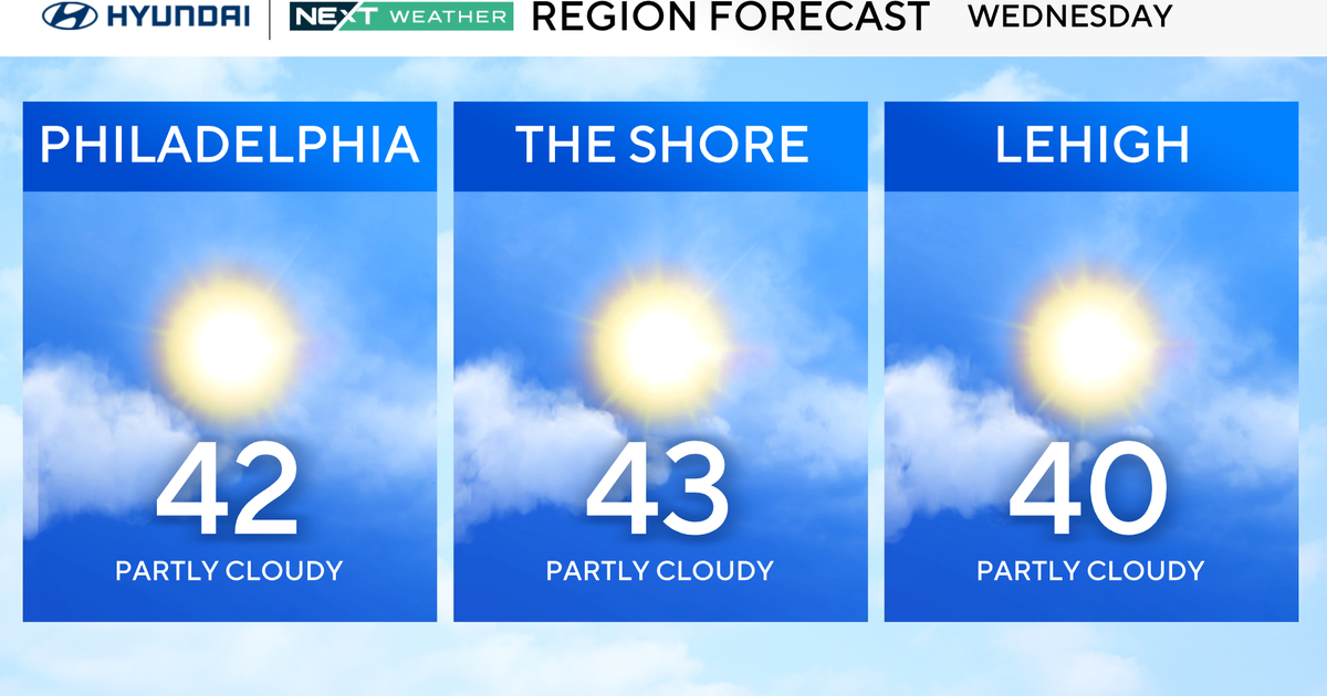
The heaviest rain looks to move through the Delaware Valley overnight Tuesday into early Wednesday morning. A cold front will then cross the region Wednesday morning, ending the showers with sunshine returning for the afternoon. Sunny and pleasant conditions will continue through the end of the week.
