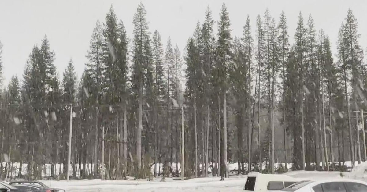
Winter Storm Warning Issued As Region Braces For Another Nor'easter
PHILADELPHIA (CBS) - With spring set to start on Tuesday, we usually are looking for warmer temperatures and everyone starts to turn their attention away from the moniker of "March Comes In Like A Lion And Goes Out Like A Lamb" to the old adage "April Showers Bring May Flowers."
However, with the way this forecast is turning out, we could be looking more at April snow showers to usher in the May flowers, if we are lucky. The system that affects the region early and in the middle of this week is quite complex and is posing more than a few forecasting, the first being brought on by the fact that this system is really going to come in two parts.
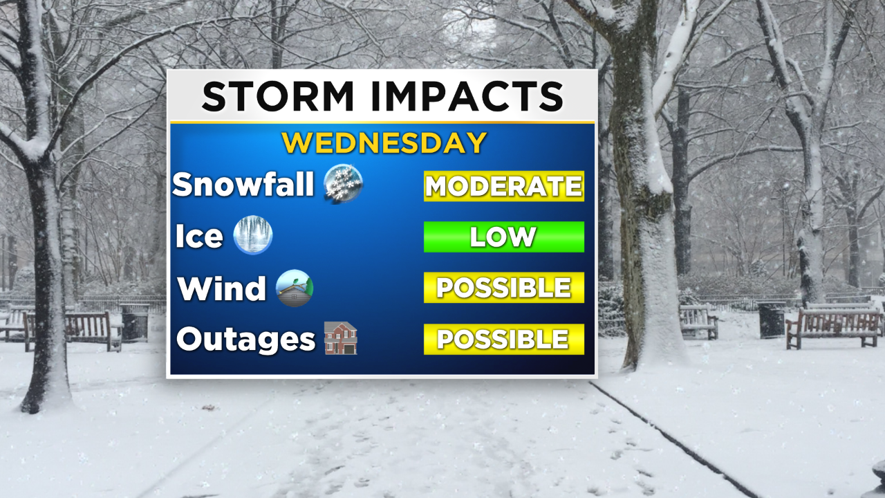
Due to the impending storm, a winter storm warning has been issued from 6 p.m. Tuesday until 11 p.m. on Wednesday.
The first one rolls through tonight, staying generally to the south and keeping a majority of the precipitation to the south, before another possibly more potent low sweeps along the coastline late Tuesday and into Wednesday, and that is the low that could pose the biggest problems for the Philly region.
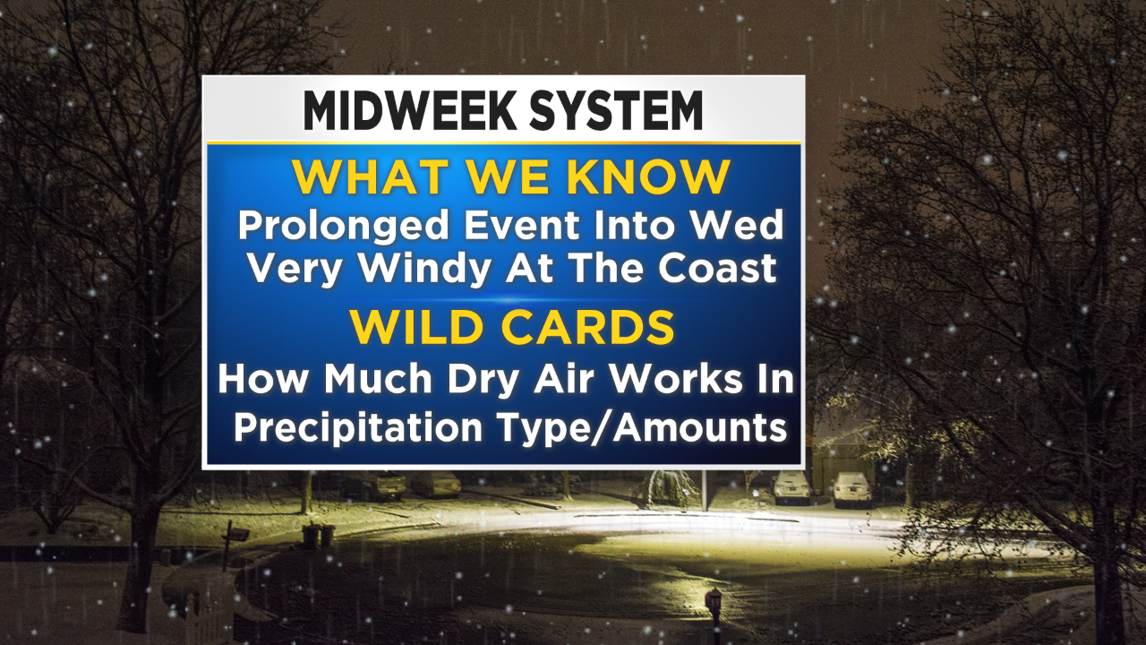
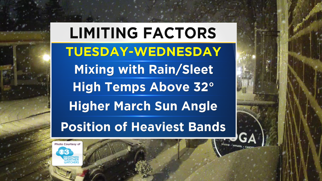
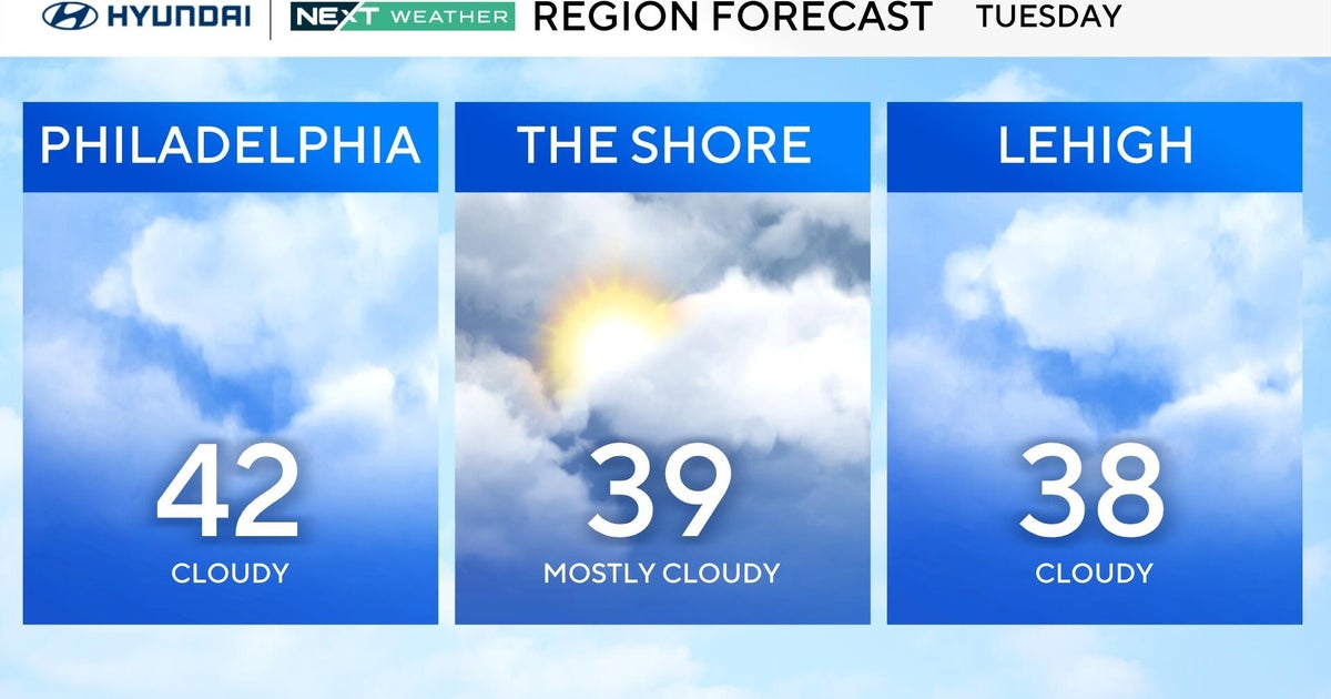
Let's dive into the forecast for Monday night and Tuesday with the first piece of energy that comes through. As stated above this low tonight and most of Tuesday stays to the south for the most part, thus keeping the bulk of the precipitation to the south as well, but that does not mean we will be dry tomorrow though. Tuesday will have a chance for a wintry mix of rain/sleet/snow in the afternoon hours. One of the big limitations, especially tomorrow, will be the dry air near the surface that is being pushed southward thanks to a high pressure center in the southern parts of Canada.
That dry air, while slightly colder, will inhibit a lot of the light rain/snow/mix on Tuesday from really reaching the ground, so that means that while there is a small chance for some light slushy accumulations on Tuesday, the precipitation on Tuesday afternoon is really going to factor into the forecast, by cooling the air close to the surface to down closer to the freezing mark. Those colder temperatures near the ground on Tuesday night will persist into Wednesday and that is why Wednesday's system has a higher potential for the chance of accumulating snowfall.
Tuesday night, while it was originally thought that a brief lull in the action could be possible, looks less likely now as the secondary low starts to slide in the wake of the departing low from Tuesday. This low tracks more along the path of typical nor'easter, and with slightly cooler air already in place, we have the set up for a better chance for snow on Wednesday than Tuesday. In general, the track of the low on Wednesday is going to allow for some banding to set up , which means that while snow amounts are likely to stay pretty low and stay on the slushy side of things, if we get a strong enough band to come through an area, some decent accumulations are not completely ruled out.
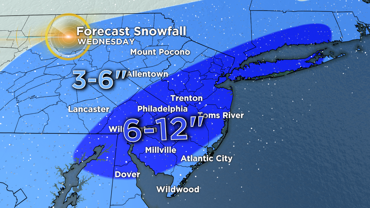
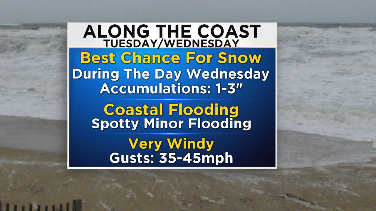
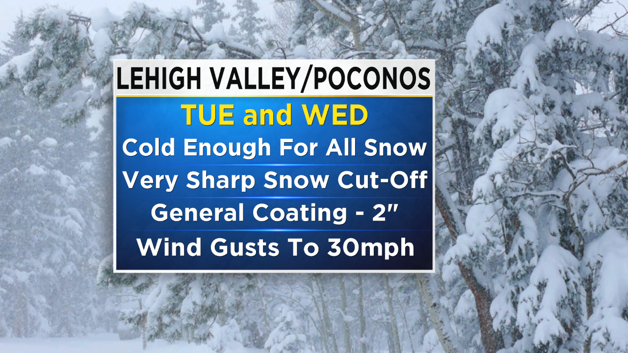
Our snow amounts on Wednesday are also limited in areas, especially north of Philly, not because the temperatures are not going to be cold enough as is the case near the I-95 corridor, but because the moisture and precipitation shield just does not extend far enough northward. This means areas in parts of the Lehigh Valley and Poconos might only receive 3 to 6 inches of snow or depending on where you are. Across the 95 corridor and in Philadelphia proper, we are looking at 6 to 12 inches of snow possible, with a chance for a locally higher amount if happen to be in a community where one of the heavier snow bands sets up. The bigger effects at the shore are going to be the strong winds throughout the day on Tuesday that could gust to 40 to 45 mph.
Now there is a good chance you will see forecasts pointing out the fact Philly could see some outrageous snow amounts with this system. These really need to be taken with a grain of salt. Many of these maps you will see on social media are just a pure model output without any kind fo tweaking done to them. There are many reasons that is poor "forecast," but the biggest reason these are usually too high this time of year is that they are not able to account for the warming of the atmosphere as we get toward the spring season.
So, in general, climatologicially speaking, right now the atmosphere is warming and that means it takes a lot colder air to cool things down enough for a purely snow event. Also, the models cannot account for the sun angle being higher, and the fact that we are entering into the part of the year of peek heating.
To get a little more "science-y" quickly, the models also run at a 10:1 snow to water ratio, meaning that 1 inch of water equals 10 inches of snow. When we reach this time of year that is a very poor ratio to use because the warmer temperatures tend to lower rations, meaning that the same 1 inch of water is likely only equivalent to 3 to 5 inches of snow, maybe. That means that the model might output a snow amount for Philly that says 10 inches, but what we really are looking to get is less than half of that. Make sure you are not just assuming everything you see on social media is correct or an accurate forecast.
Finally, a quick recap for everyone. The event starts late tonight and lasts until Wednesday evening. It comes in two parts, a weaker more southerly low tonight and Tuesday, keeping the heaviest rain/snow to the south, with only some light precipitation tonight and a light rain/snow/sleet mix on Tuesday afternoon. The strong part of the system comes in on Wednesday, and that is when we could see the best chance for accumulating snowfall, with 2 to 4 inches of slushy, sloppiness possible for Philly with amounts quickly tapering off as you head into the far north and southeast parts of the viewing area. Finally, expect strong winds on Tuesday along the coastline.
Make sure to stay with the CBS3 Eyewitness Weather team for all updates on this evolving forecast.
