Don't Pack Away The Gloves Yet -- More Winter Weather Headed Our Way
By Geoff Bansen
PHILADELPHIA (CBS) -- This morning is the calm before the storm for the Delaware Valley, but enjoy it while you can - this one could stick around for quite a while.
Clouds have already overspread the region, and the first few flakes are beginning to approach from the west. What will start as snow this afternoon will quickly change over to a wintry mix by the evening commute. Icy conditions are likely, so take it slow as roads will be slick. By tonight, a warm front will swing thought the precipitation will completely change over to rain, and temperatures will steadily rise straight though to tomorrow.
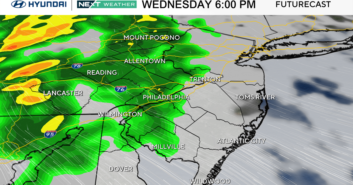
Wednesday will be a dreary but milder day, with on and off rain and highs in the mid 40s. As moisture rides up the frontal boundary draped across the region, an area of low pressure will develop along it later Wednesday. Temperatures will begin to fall Wednesday night, and a changeover to snow will occur shortly after midnight. Early accumulation estimates have been on the rise, and could potentially be substantial - in excess of 6". The questions that remain are the exact track of the low and how progressive the storm itself is, which could decide where the heaviest snow will fall and if there will be any mixing.
Once the storm finally departs later Thursday, we will have a nice stretch of some drier weather. Temperatures won't be where they should be, but will certainly be better then they have been. Keep in mind, March doesn't just automatically mean spring! This particular month is filled with lots of extremes and is known for varying conditions. Hang in there; we're almost there!
Are you ready for spring or are you okay with one more round of snow before the season ends? Comment on our Facebook page or tweet us @CBSPhilly using #CBS3 and let us know your thoughts!
