Changes On The Way
By Kate Bilo
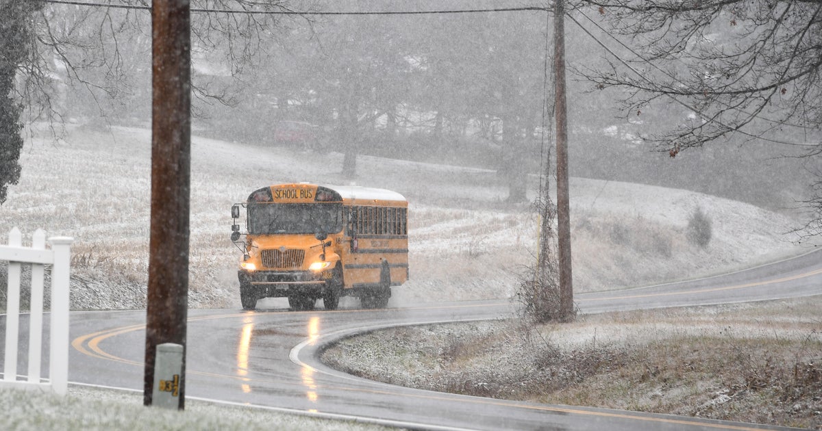
We've been enjoying some pretty fantastic weather across the Delaware Valley lately, but that looks like it might change this week as a much more active pattern begins to develop over the Northeast. Our first threat is currently bringing rain and heavy snow to the Southern plains and that storm's biggest impact on our region will be felt on Wednesday. In the short term, a few sprinkles have popped up this evening as a weak cool front moves across the region, and that front will stall to our south tomorrow bringing another chance for afternoon showers from the city on southward. Then, that front lifts back north as a warm front late tomorrow night, and as the warm air lifts over the colder air at the surface, areas to our far North and West could see a wintry mix in the wee hours of Wednesday morning. Most of us, however, will just feel mild air on Wednesday along with periods of rain through the afternoon.
Then it clears out for Thursday (the first official day of winter!), but things get interesting again as we head toward the Christmas weekend. Friday will be cloudy with the chance for showers, and then a Christmas weekend storm will be on everyone's radar. Right now a couple of models are indicating the potential for a storm producing cold rain and perhaps even some snow, especially north and west of the city. There are a few limiting factors - all the warm air in place across the region, relatively weak high pressure, lack of a blocking high... but regardless, things could get interesting. As of now, it looks like a wet, chilly Christmas Eve (hope Santa's got his rain gear ready to go!), and then as some colder air blasts in behind the storm early Christmas morning, we may see a changeover or mixover to snow. As of right now, it looks most likely that it would just be some flakes falling without much accumulation in the city, and if there were the chance for anything significant, it would be well to our North and West where the cold air gets in sooner.
However, how can any of us forget the week leading up to Christmas last year, the storm that was on everybody's radar and the challenges forecasting it? While this looks not much like that one, especially because of the lack of real Arctic cold, we definitely have to keep a close eye on the possibility for more than just a few flurries. Stay tuned to CBS3 through the week for the latest, and for anyone celebrating Chanukah this year, Happy Chanukah as of sundown tomorrow!


