BLOG: Winter Weather Returns
By Justin Drabick
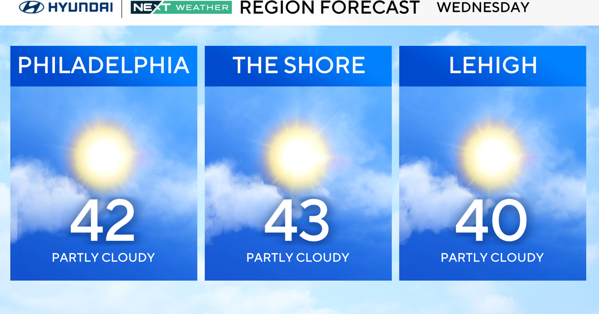
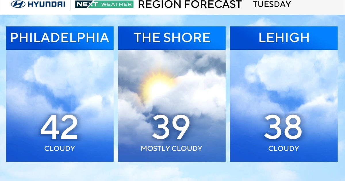
After a taste of spring last week, winter returns with a couple rounds of rain and snow. The first round arrives Sunday night through Monday morning. The second round arrives Monday evening through very early Tuesday morning. An area of low pressure with a warm front currently over the Midwest will track east. Precipitation consisting of rain, sleet, and snow will develop out ahead of the warm front Sunday night. Little or no accumulation expected for Philadelphia and areas south and east, as these locations will see more rain than snow and sleet. Any snow or sleet for Philadelphia would changeover to rain before dawn. Temperatures will be a bit colder the farther north you go. So a slushy 1-3" is possible from northern Bucks & Montgomery up through the Lehigh Valley. 3-6" are possible in the Poconos. Some slick roads are possible in the N&W suburbs of Philadelphia early tomorrow morning. Any precipitation should end by late morning and will remain dry for the rest of Presidents' Day afternoon.
Behind the first system, a cold front will allow colder air to filter in from the north Monday night. An area of low pressure riding along the cold front will pass by to our south Monday night. Rain, sleet, and snow will develop again Monday evening and change to all snow from north to south. This setup will allow for colder air to be in place and allow for a better chance of some snow accumulations for Philadelphia, south Jersey, and Delaware. This will all depend on how much moisture is left and how far south the low pressure tracks. Some light accumulation is possible late Monday night and any snow should end before dawn Tuesday.
