BLOG: Winds Of Change
By Justin Drabick
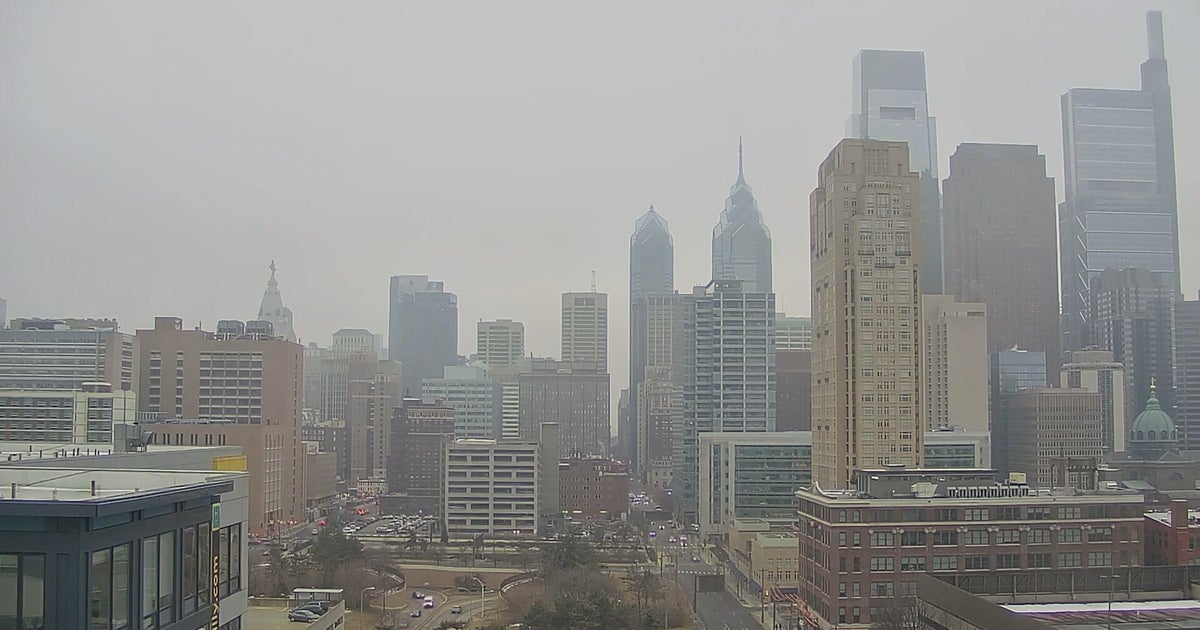
After reaching highs in the upper 60s and low 70s on Friday, temperatures today were much cooler in the 40s. This is all because of a cold front with came through last night. Winds ahead of the front were out of the southwest on Friday which is a warm wind. Behind the front, winds were out of the northwest allowing for colder air from Canada to move back into the Delaware Valley.
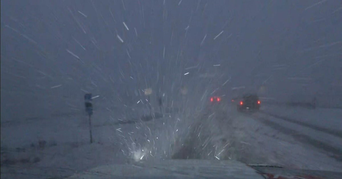
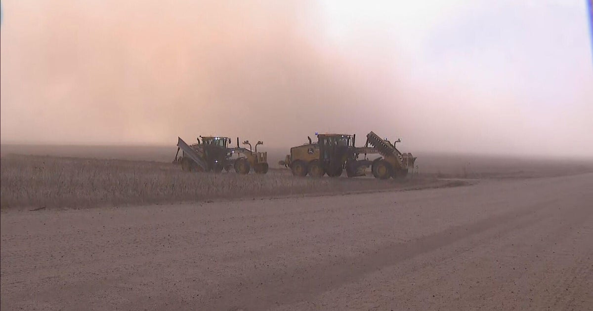
Today's wind was fierce as a high wind warning was in effect. The warning was issued for good reason. Gusts ranged in the 50 and 60 mph range with the highest gust recorded in Kennett Square in Chester County at 61 mph. Numerous power outages were reported around the Delaware valley and a home was damaged due to a large tree falling over.
The wind was caused by large differences in air pressure. A strong area of Low pressure is located off the coast of eastern Canada and a strong area of high pressure is located over the northern Plains. The pressure difference is what causes the wind because the lower air pressure area needs to increase its pressure. So the air from the higher pressure area gets transferred to the lower area pressure. This transfer of air is the wind and the bigger the pressure differences, the stronger the wind.
The wind will slowly diminish overnight but will still be on the breezy side on Sunday, but nothing like today. A northwest wind on Sunday will continue so our temperatures will remain on the cooler side.